
Location
Latitude: |
30-21-29.6670N (30.358241) |
Longitude: |
085-47-44.1680W (-85.795602) |
Elevation: |
68.8 feet MSL (21 m MSL) |
Magnetic Variation: |
4.2 W (as of April 2024 from WMM2020 model) |
Time Zone: |
UTC -6.0 (Standard Time) UTC -5.0 (Daylight Savings Time) |
From City: |
16 N.M. NW of Panama City, Florida |
Found On: |
New Orleans Chart |
FAA Region: |
ASO |
Contacts
Manager: |
Publicly owned: |
| PARKER MCCLELLAN 6300 WEST BAY PARKWAY PANAMA CITY BEACH, FL 32409 850-763-6751 |
PANAMA CITY-BAY CO ARPT & INDST DIS 6300 WEST BAY PARKWAY PANAMA CITY BEACH, FL 32409 850-763-6751 |
Operations
Airport Status: |
Operational |
Facility Use: |
Public |
Type: |
Airport |
Activation Date: |
02/2010 |
Control tower: |
Yes |
Attendance (Months/Days/Hours): |
Months/Days/Hours ALL/ALL/ALL |
Boundary ARTCC: |
ZJX (Jacksonville) |
Responsible ARTCC: |
ZJX (Jacksonville) |
Lighting Schedule: |
SEE RMK |
Segmented Circle Indicator: |
Yes |
Traffic Pattern Altitude (MSL): |
1069 feet (326 m) |
NOTAMs Facility: |
ECP |
NOTAM-D Service: |
Yes |
Aircraft Rescue and Firefighting: |
Class I ARFF Index: C Air Carrier Service: Scheduled Certification Date: 05/2010 |
Based Aircraft
| Single Engine: | 76 |
| Multi Engine: | 8 |
| Jet Engine: | 26 |
| Gliders: | 1 |
Annual Operations (as of 01/01/2023)
| Total Operations: | 72666 | |
| Commercial: | 13892 | 19.1% |
| Air Taxi: | 8288 | 11.4% |
| GA Local: | 11773 | 16.2% |
| GA Itinerant: | 35897 | 49.4% |
| Military Aircraft: | 2816 | 3.9% |
Communications
| CTAF: | 118.950 |
| Tower: | PANAMA CITY 118.95 Hrs: 0600-2200 |
| Ground: | 121.65 |
| Approach: | TYNDALL 125.2 ;ABV 5000 FT JAX ARTCC |
| Departure: | TYNDALL 125.2 ;ABV 5000 FT JAX ARTCC |
| ATIS: | 119.975 Hrs: 24 |
| ASOS: | 119.975 (850-235-7857) |
| EMERG: | 121.5 |
- APCH/DEP SVC PRVDD BY JAX ARTCC ON FREQS 120.825/379.3 (PANAMA CITY RCAG) WHEN TYNDALL APCH CTL IS CLSD.
Fixed Based Operators (FBOs) & Fuel
(Click on a business for detail)
Please help us keep this information up to date. This is a FREE SERVICE just like everything else on Airport Guide! If you see that a business needs to be added, modified, or deleted please fill out our Update Form.
To add, modify, or delete a business click here.
Please help us keep this information up to date. This is a FREE SERVICE just like everything else on Airport Guide! If you see that a business needs to be added, modified, or deleted please fill out our Update Form.
| Business Name | Frequency | Phone | Fuel Grade |
|---|
Flight Service Stations
| Primary | Alternate | |
| FSS on Field: | ||
| FSS Name (ID): | Gainesville(GNV) | |
| Frequency: | ||
| Toll Free Phone: | 1-800-WX-BRIEF |
Instrument Procedures / Charts
FAA Terminal Procedures valid from 0901Z 03/21/24 to 0901Z 04/18/24.
There are various types of charts available for an airport. They are listed in the Page Type column. Here is a legend for those types:
APD - Airport Diagram
DP - Departure Procedure Charts
HOT - Hot Spots
IAP - Instrument Approach Procedure Charts
MIN - Minimums
STAR - Standard Terminal Arrival Charts
| Page Type | Page Name | Volume | Action Since Last Cycle |
|---|---|---|---|
| APD | AIRPORT DIAGRAM | SE-3 | |
| IAP | ILS OR LOC RWY 16 | SE-3 | |
| IAP | ILS RWY 16 (SA CAT I - II) | SE-3 | |
| IAP | RNAV (GPS) RWY 16 | SE-3 | |
| IAP | RNAV (GPS) RWY 34 | SE-3 | |
| MIN | ALTERNATE MINIMUMS | SE-3 | |
| MIN | DIVERSE VECTOR AREA | SE-3 | |
| MIN | TAKEOFF MINIMUMS | SE-3 |
Terminal Procedures are only available for airports in several countries with more being added all the time. If you are looking for a specific country's charts, please send an email to support(at)airportguide.com stating the country name. This will be used to prioritize the implementation.
Navigation Aids (Navaids) near ECP
| Dist (NM) | ID | Morse Code | Name | Type | Freq | True Hdg | Mag Hdg |
|---|---|---|---|---|---|---|---|
| 2.0 | PFN | . _ _ . . . _ . _ . | Lynne | NDB | 278 | 160 | 164 |
| 20.6 | PAM | . _ _ . . _ _ _ | Tyndall | TACAN | 133.70 | 145 | 149 |
| 31.3 | BKK | _ . . . _ . _ _ . _ | Tri County | NDB | 275 | 18 | 22 |
| 38.2 | DWG | _ . . . _ _ _ _ . | Warrington | TACAN | 134.50 | 281 | 285 |
| 42.6 | SMY | . . . _ _ _ . _ _ | Soyya | NDB | 329 | 43 | 47 |
| 43.1 | MAI | _ _ . _ . . | Marianna | VORTAC | 114.00 | 53 | 57 |
| 46.5 | HRT | . . . . . _ . _ | Hurlburt | TACAN | 110.80 | 275 | 279 |
| 48.4 | CE | _ . _ . . | Kobra | NDB | 201 | 307 | 311 |
| 52.1 | OZ | _ _ _ _ _ . . | Brynt | NDB | 212 | 358 | 362 |
| 53.6 | CEW | _ . _ . . . _ _ | Crestview | VORTAC | 115.90 | 301 | 305 |
| 54.8 | OZR | _ _ _ _ _ . . . _ . | Cairns | VOR-DME | 111.20 | 3 | 7 |
| 55.1 | AAF | . _ . _ . . _ . | Apalachicola | NDB | 349 | 133 | 137 |
| 56.6 | EDN | . _ . . _ . | Enterprise | VOR | 116.60 | 354 | 358 |
| 58.7 | RRS | . _ . . _ . . . . | Wiregrass | VORTAC | 111.60 | 18 | 22 |
| 59.6 | BVG | _ . . . . . . _ _ _ . | Boll Weevil | NDB | 352 | 350 | 354 |
| 60.3 | LOR | . _ . . _ _ _ . _ . | Lowe | NDB | 269 | 2 | 6 |
| 61.0 | NGS | _ . _ _ . . . . | Santa Rosa | TACAN | 133.60 | 284 | 288 |
| 61.4 | HEY | . . . . . _ . _ _ | Hanchey | VOR | 110.60 | 6 | 10 |
| 61.5 | HYE | . . . . _ . _ _ . | Hanchey | NDB | 221 | 6 | 10 |
| 64.6 | JUY | . _ _ _ . . _ _ . _ _ | Judd | NDB | 264 | 331 | 335 |
Nearby Airports with Fuel
Notices to Airmen (NOTAMS)
Remarks
| A110-2 | MIL VIP ARR/DEP SHALL BE AT ARPT TERM WITH PRIOR APVL FM ARPT AUTH - 850-763-6751 EXT 306. |
| A110-3 | TWY J BTN TWY D & TAXILANE F CLSD TO ACFT WITH WINGSPAN GTR THAN 80 FT EXC 1 HR PPR - 850-769-6033. TWY K, M, E2, E3 BTN TWY D & TAXILANE F RSTRD TO ACFT WITH WINGSPAN GTR THAN 80 FT. |
| A110-4 | BIRDS ON & INVOF ARPT. |
| A81-APT | WHEN ATCT CLSD ACTVT MALSR RWY 16; REIL RWY 34; TDZ RWY 16; CNTLN RWY 16/34; PAPI RWY 16 & 34; HIRL RWY 16/34 - CTAF. |
Runways
Runway Summary
| Runways: | 16/34 |
| Longest Runway: | 16/34 is 10000 ft (3048 m) long |
| Runways with an Instrument Approach: | 16 |
ECP Airport Runway Details
| Runway 16/34 | 10000 ft x 150 ft (3048 m x 46 m) | |
| Runway Length Source: | 3RD PARTY SURVEY as of 08/06/2019 | |
| Surface: | Concrete - Excellent condition - Saw-cut or plastic grooved | |
| Runway Pavement Class: | 56 /R/B/W/T | |
| Runway Edge Lights: | High Intensity | |
Runway Weight Bearing Capacity (in thousands of pounds) |
||
| Single Wheel Landing Gear: | 100.0 | |
| Dual Wheel Landing Gear: | 155.0 | |
| Dual Tandem Wheel Landing Gear: | 400.0 | |
| Dual Dual Tandem Wheel Landing Gear: | 750.0 | |
Runway 16 |
Runway 34 |
|
Elevation: |
68.8 | 53.9 |
Latitude: |
30-22-15.9765N | 30-20-43.3569N |
Longitude: |
085-48-04.2946W | 085-47-24.0462W |
|
Runway True Alignment: |
159 | 339 |
ILS Type: |
ILS/DME | |
Glide Path Angle: |
3.0 degrees | 3.0 degrees |
Runway Markings Type: |
Precision Instrument | Precision Instrument |
Runway Markings Condition: |
Good | Good |
Object at End: |
TREES | TREES |
Object Height: |
39 | 61 |
Distance from End: |
2180 | 2660 |
Object Centerline Offset: |
310 ft. right of centerline | 595 ft. left of centerline |
Visual Glide Slope Indicators: |
4-Light PAPI On Left Side Of Runway | 4-Light PAPI On Left Side Of Runway |
Runway Visual Range (RVR): |
Touchdown, Rollout | Touchdown, Rollout |
Approach Light System: |
1,400 Foot Medium Intensity Approach Lighting System With Runway Alignment Indicator Lights | |
REIL: |
Yes | |
Touchdown Lights: |
Yes | |
Centerline Lights: |
Yes | Yes |
Threshold Crossing Height: |
72 | 86 |
Services
Airframe Repair: |
Major |
Powerplant Repair: |
Major |
Bottled Oxygen: |
High Pressure |
Bulk Oxygen: |
High Pressure |
Fuel Available: |
100LL, Jet A |
Landing Fees: |
No |
Parking: |
Hangars available |
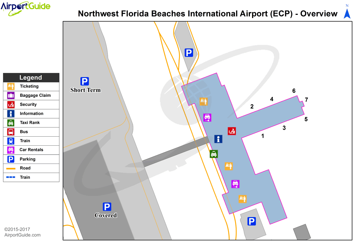
Maps & Diagrams
ECP Sectional
Flight Planning
at skyvector.com
at skyvector.com
 Diagram")