
Location
Latitude: |
35-33-08.2764N (35.552299) |
Longitude: |
139-46-47.9964E (139.779999) |
Elevation: |
35 feet MSL (11 m MSL) |
Magnetic Variation: |
7.8 W (as of April 2024 from WMM2020 model) |
Time Zone: |
UTC +9.0 (Standard Time) UTC +9.0 (Daylight Savings Time) |
Contacts
Manager: |
: |
Operations
Airport Status: |
Operational |
Facility Use: |
Public |
Type: |
Airport |
Traffic Pattern Altitude (MSL): |
1035 feet (315 m) |
Based Aircraft
Annual Operations (as of )
Communications
| TWR: | 124.35 |
| TWR: | 118.725 |
| TWR: | 118.575 |
| TWR: | 118.1 |
| CLNC DEL: | 121.825 |
| GND: | 121.975 |
| GND: | 121.7 |
| GND: | 121.625 |
| GND: | 118.225 |
| APP: | 119.1 |
| DEP: | 126 |
| DEP: | 120.8 |
| ATIS: | 128.8 |
| TCA: | 119.45 |
| TCA: | 124.75 |
| NORTH PACIFIC AREA: | 126.9 |
Fixed Based Operators (FBOs) & Fuel
(Click on a business for detail)
Please help us keep this information up to date. This is a FREE SERVICE just like everything else on Airport Guide! If you see that a business needs to be added, modified, or deleted please fill out our Update Form.
To add, modify, or delete a business click here.
Please help us keep this information up to date. This is a FREE SERVICE just like everything else on Airport Guide! If you see that a business needs to be added, modified, or deleted please fill out our Update Form.
| Business Name | Frequency | Phone | Fuel Grade |
|---|
Flight Service Stations
| Primary | Alternate | |
| FSS on Field: | ||
| FSS Name (ID): | ||
| Frequency: | ||
| Toll Free Phone: |
Instrument Procedures / Charts
Terminal Procedures are only available for airports in several countries with more being added all the time. If you are looking for a specific country's charts, please send an email to support(at)airportguide.com stating the country name. This will be used to prioritize the implementation.
Navigation Aids (Navaids) near HND
| Dist (NM) | ID | Morse Code | Name | Type | Freq | True Hdg | Mag Hdg |
|---|---|---|---|---|---|---|---|
| 1.1 | HME | Haneda | VOR-DME | 112.20 | 302 | 310 | |
| 1.3 | HM | Haneda | NDB | 337 | 287 | 295 | |
| 3.8 | KWE | Kohtoh | VOR-DME | 115.00 | 26 | 34 | |
| 10.8 | KZE | Kisarazu | VOR-DME | 114.50 | 146 | 154 | |
| 11.7 | RB | Eda | NDB | 357 | 272 | 280 | |
| 17.2 | NJA | Atsugi | TACAN | 115.10 | 248 | 256 | |
| 18.7 | SHT | Shimofusa | TACAN | 108.20 | 36 | 44 | |
| 18.9 | XR | Kastner | NDB-DME | 379 | 263 | 271 | |
| 19.8 | DF | Zama | NDB | 401 | 274 | 282 | |
| 20.1 | HYE | Yokosuka | VOR-DME | 116.20 | 207 | 215 | |
| 21.0 | TN | Shin-Tachikawa | NDB | 366 | 298 | 306 | |
| 22.7 | YU | Yokosuka | NDB | 249 | 200 | 208 | |
| 23.4 | MI | Omiya | NDB | 228 | 339 | 347 | |
| 24.1 | YOK | Yokota | TACAN | 113.80 | 299 | 307 | |
| 24.8 | YLT | Iruma | TACAN | 110.60 | 314 | 322 | |
| 25.0 | SNE | Moriya | VOR-DME | 114.00 | 23 | 31 | |
| 27.3 | TYE | Sakura | VOR-DME | 112.70 | 59 | 67 | |
| 27.7 | SYE | Sekiyado | VOR-DME | 117.00 | 5 | 13 | |
| 31.6 | NRE | Narita | VOR-DME | 117.90 | 63 | 71 | |
| 32.8 | HKE | Hokuso | VOR-DME | 117.30 | 61 | 69 |
Nearby Airports with Fuel
| Dist (NM) | Name (Airport IDs) | True Hdg | Mag Hdg | Fuel Grade |
|---|
Notices to Airmen (NOTAMS)
Remarks
No remarks for this landing facility
Runways
Runway Summary
| Runways: | 04/22 05/23 16L/34R 16R/34L |
| Longest Runway: | 16L/34R is 11024 ft (3360 m) long |
| Runways with an Instrument Approach: |
HND Airport Runway Details
| Runway 04/22 | 8200 ft x 200 ft (2499 m x 61 m) | |
| Runway Edge Lights: | Yes Intensity | |
Runway 04 |
Runway 22 |
|
Elevation: |
19 | 35 |
Latitude: |
35.54899978637 | 35.56750106811 |
Longitude: |
139.76100158691 | 139.77699279785 |
|
Runway True Alignment: |
35.1 | 215.1 |
Glide Path Angle: |
0.0 degrees | 0.0 degrees |
REIL: |
Yes | Yes |
Threshold Elevation: |
19 | 35 |
| Runway 05/23 | 8200 ft x 200 ft (2499 m x 61 m) | |
| Runway Edge Lights: | Yes Intensity | |
Runway 05 |
Runway 23 |
|
Elevation: |
46 | 55 |
Latitude: |
35.52399826049 | 35.54059982299 |
Longitude: |
139.80299377441 | 139.82200622558 |
|
Runway True Alignment: |
57 | 223 |
Glide Path Angle: |
0.0 degrees | 0.0 degrees |
REIL: |
Yes | Yes |
Threshold Elevation: |
46 | 55 |
| Runway 16L/34R | 11024 ft x 200 ft (3360 m x 61 m) | |
| Runway Edge Lights: | Yes Intensity | |
Runway 16L |
Runway 34R |
|
Elevation: |
22 | 20 |
Latitude: |
35.56589889526 | 35.54249954223 |
Longitude: |
139.78700256347 | 139.80299377441 |
|
Runway True Alignment: |
149.9 | 329.9 |
Glide Path Angle: |
0.0 degrees | 0.0 degrees |
REIL: |
Yes | Yes |
Threshold Elevation: |
22 | 20 |
| Runway 16R/34L | 9843 ft x 200 ft (3000 m x 61 m) | |
| Runway Edge Lights: | Yes Intensity | |
Runway 16R |
Runway 34L |
|
Elevation: |
20 | 20 |
Latitude: |
35.56000137329 | 35.53659820556 |
Longitude: |
139.76899719238 | 139.78599548339 |
|
Runway True Alignment: |
149.9 | 329.9 |
Glide Path Angle: |
0.0 degrees | 0.0 degrees |
REIL: |
Yes | Yes |
Threshold Elevation: |
20 | 20 |
Services
Maps & Diagrams
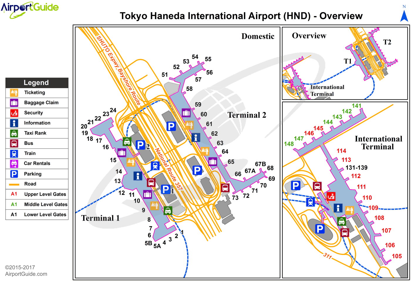
HND Sectional
Flight Planning
at skyvector.com
at skyvector.com
