
Location
Latitude: |
59-24-47.8784N (59.4133) |
Longitude: |
024-49-58.0797E (24.8328) |
Elevation: |
131 feet MSL (40 m MSL) |
Magnetic Variation: |
9.9 E (as of April 2024 from WMM2020 model) |
Time Zone: |
UTC +2.0 (Standard Time) UTC +3.0 (Daylight Savings Time) |
Contacts
Manager: |
: |
Operations
Airport Status: |
Operational |
Facility Use: |
Public |
Type: |
Airport |
Traffic Pattern Altitude (MSL): |
1131 feet (345 m) |
Based Aircraft
Annual Operations (as of )
Communications
| TWR: | 120.6 |
| APP: | 127.9 |
| ATIS: | 124.875 |
Fixed Based Operators (FBOs) & Fuel
(Click on a business for detail)
Please help us keep this information up to date. This is a FREE SERVICE just like everything else on Airport Guide! If you see that a business needs to be added, modified, or deleted please fill out our Update Form.
To add, modify, or delete a business click here.
Please help us keep this information up to date. This is a FREE SERVICE just like everything else on Airport Guide! If you see that a business needs to be added, modified, or deleted please fill out our Update Form.
| Business Name | Frequency | Phone | Fuel Grade |
|---|
Flight Service Stations
| Primary | Alternate | |
| FSS on Field: | ||
| FSS Name (ID): | ||
| Frequency: | ||
| Toll Free Phone: |
Instrument Procedures / Charts
Terminal Procedures are only available for airports in several countries with more being added all the time. If you are looking for a specific country's charts, please send an email to support(at)airportguide.com stating the country name. This will be used to prioritize the implementation.
Navigation Aids (Navaids) near TLL
| Dist (NM) | ID | Morse Code | Name | Type | Freq | True Hdg | Mag Hdg |
|---|---|---|---|---|---|---|---|
| 0.2 | TLL | Tallinn | VOR-DME | 112.20 | 125 | 115 | |
| 1.0 | I | Tallinn Ulemiste Lmm India | NDB | 357 | 270 | 260 | |
| 1.3 | L | Tallinn | NDB | 418 | 90 | 80 | |
| 2.8 | LK | Tallinn | NDB | 386 | 90 | 80 | |
| 6.9 | IB | Tallinn | NDB | 329 | 270 | 260 | |
| 44.7 | KAD | Kadis | DME | 117.50 | 9 | 359 | |
| 50.1 | ESP | Espoo | NDB | 381 | 358 | 348 | |
| 50.9 | VI | Vohma | VOR-DME | 114.90 | 152 | 142 | |
| 53.5 | U | Uniform | NDB | 372 | 2 | 352 | |
| 54.3 | HEK | Heka | NDB | 344 | 21 | 11 | |
| 55.6 | HEL | Helsinki | VOR-DME | 114.20 | 3 | 353 | |
| 55.7 | H | Hotel | NDB | 403 | 4 | 354 | |
| 55.9 | RC | Parnu | NDB | 425 | 188 | 178 | |
| 57.6 | PVO | Porvoo | VOR-DME | 112.80 | 22 | 12 | |
| 58.0 | KOR | Korso | NDB | 322 | 6 | 356 | |
| 59.6 | R | Parnu | NDB | 376 | 190 | 180 | |
| 60.9 | PRN | Parnu | VOR-DME | 115.90 | 190 | 180 | |
| 65.2 | VTI | Vihti | VOR-DME | 117.00 | 344 | 334 | |
| 66.2 | OZ | Kardla | NDB | 317 | 246 | 237 | |
| 87.4 | ANT | Antoni | VOR-DME | 113.70 | 5 | 355 |
Nearby Airports with Fuel
| Dist (NM) | Name (Airport IDs) | True Hdg | Mag Hdg | Fuel Grade |
|---|
Notices to Airmen (NOTAMS)
Remarks
No remarks for this landing facility
Runways
Runway Summary
| Runways: | 08/26 |
| Longest Runway: | 08/26 is 11417 ft (3480 m) long |
| Runways with an Instrument Approach: |
TLL Airport Runway Details
| Runway 08/26 | 11417 ft x 148 ft (3480 m x 45 m) | |
| Runway Edge Lights: | Yes Intensity | |
Runway 08 |
Runway 26 |
|
Elevation: |
129 | 131 |
Latitude: |
59.413338 | 59.413174 |
Longitude: |
24.805908 | 24.867208 |
|
Runway True Alignment: |
90 | 270 |
Glide Path Angle: |
0.0 degrees | 0.0 degrees |
REIL: |
Yes | Yes |
Threshold Elevation: |
129 | 131 |
Displaced Threshold: |
820 |
Services
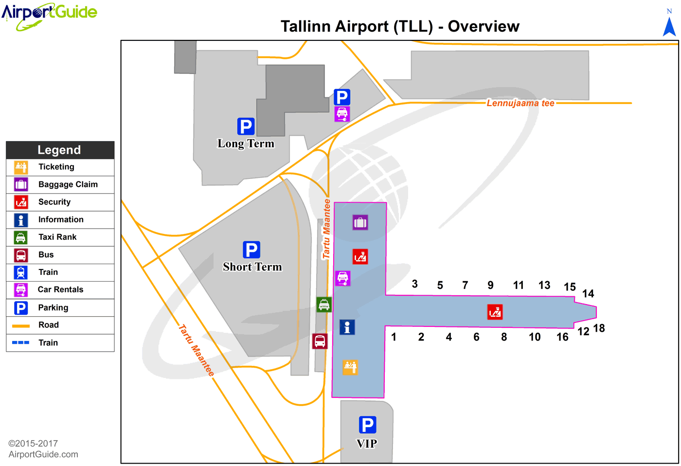
Maps & Diagrams
TLL Sectional
Flight Planning
at skyvector.com
at skyvector.com
