

Location
Latitude: |
25-02-20.8120N (25.039114) |
Longitude: |
077-27-58.9237W (-77.466368) |
Elevation: |
16.0 feet MSL (5 m MSL) |
Magnetic Variation: |
8.7 W (as of May 2024 from WMM2020 model) |
Time Zone: |
UTC -5.0 (Standard Time) UTC -4.0 (Daylight Savings Time) |
From City: |
07 N.M. W of Nassau, New Providence Island |
Found On: |
Miami Chart |
Contacts
Manager: |
Publicly owned: |
| NASSAU AIRPORT DEVELOPMENT COMPANY 1-242-702-1000 |
Operations
Airport Status: |
Operational |
Facility Use: |
Public |
Type: |
Airport |
Control tower: |
Yes |
Attendance (Months/Days/Hours): |
Months/Days/Hours ALL/ALL/ALL |
Boundary ARTCC: |
ZMA (Miami) |
Responsible ARTCC: |
ZMA (Miami) |
Traffic Pattern Altitude (MSL): |
1016 feet (310 m) |
International Airport of Entry: |
No |
Based Aircraft
Annual Operations (as of )
Communications
| Unicom: | 122.800 |
| Tower: | NASSAU 119.5 134.55 Hrs: 24 |
| Clearance Del.: | 118.3 |
| Ground: | 121.7 |
| Approach: | 125.3 |
| Departure: | 125.3 |
| ATIS: | 118.7 Hrs: 24 |
- APCH/DEP SVC PRVDD BY NASSAU APCH 121.0/PRIM & 125.3/SECONDARY (RADAR).
Fixed Based Operators (FBOs) & Fuel
(Click on a business for detail)
Please help us keep this information up to date. This is a FREE SERVICE just like everything else on Airport Guide! If you see that a business needs to be added, modified, or deleted please fill out our Update Form.
To add, modify, or delete a business click here.
Please help us keep this information up to date. This is a FREE SERVICE just like everything else on Airport Guide! If you see that a business needs to be added, modified, or deleted please fill out our Update Form.
| Business Name | Frequency | Phone | Fuel Grade |
|---|---|---|---|
| Odyssey Aviation
Website Update FBO info |
121.0 | 242-362-2559 | 100LL, Jet-A |
Flight Service Stations
| Primary | Alternate | |
| FSS on Field: | ||
| FSS Name (ID): | Miami(MIA) | |
| Frequency: | ||
| Toll Free Phone: | 1-800-WX-BRIEF |
Instrument Procedures / Charts
Terminal Procedures are only available for airports in several countries with more being added all the time. If you are looking for a specific country's charts, please send an email to support(at)airportguide.com stating the country name. This will be used to prioritize the implementation.
Navigation Aids (Navaids) near NAS
| Dist (NM) | ID | Morse Code | Name | Type | Freq | True Hdg | Mag Hdg |
|---|---|---|---|---|---|---|---|
| 0.2 | ZQA | Nassau | NDB | 251 | 288 | 297 | |
| 1.4 | ZQA | _ _ . . _ _ . _ . _ | Nassau | VOR-DME | 112.70 | 126 | 135 |
| 26.1 | NCZ | Autec | TACAN | 112.75 | 219 | 228 | |
| 26.1 | NCZ | Autec | NDB | 245 | 219 | 228 | |
| 32.1 | ZCC | Chub Cay | NDB | 302 | 314 | 323 | |
| 63.9 | ZGB | Governors Harbour | NDB | 224 | 77 | 86 | |
| 90.8 | ZMH | _ _ . . _ _ . . . . | Marsh Harbour | NDB | 361 | 13 | 22 |
Nearby Airports with Fuel
| Dist (NM) | Name (Airport IDs) | True Hdg | Mag Hdg | Fuel Grade |
|---|---|---|---|---|
| 63.4 | Governors Harbour Airport (GHB MYEM MYEM) |
76 | 85 | 100LL, Jet A |
Notices to Airmen (NOTAMS)
Remarks
| A110-1 | FIREFIGHT EQUIP: OSHKOSH, 3,000 GALS WATER, 420 GALS FOAM, 500 LBS DRY CHM; OSHKOSH, 1,500 GALS WATER, 210 GALS FOAM, 500 LBS DRY CHM; OSHKOSH, 1,500 GALS WATER, 210 GALS FOAM, 500 LBS DRY CHM; OSHKOSH, 1,500 GALS WATER, 210 GALS FOAM; FORD, 300 GALS WATER, 20 GALS FOAM, 500 LBS DRY CHM AVBL. |
| A110-2 | TWR HAS LTD VIS OF ACFT ON APRON 1 & STANDS 56-59. |
| A18 | FOREIGN CIV GOVT. LNDG FEES AND DIPLOMATIC CLNC MAY BE RQR. |
| A49-09 | NSTD. |
| A86 | NASSAU FLT SVC FOR LCL INFO 1-242-377-7116/2006; EMERG 1-242-377-2040. |
Runways
Runway Summary
| Runways: | 09/27 14/32 |
| Longest Runway: | 14/32 is 11107 ft (3385 m) long |
| Runways with an Instrument Approach: |
NAS Airport Runway Details
| Runway 09/27 | 8273 ft x 150 ft (2522 m x 46 m) | |
| Runway Length Source: | AIP as of 08/28/2008 | |
| Surface: | Asphalt - No special surface treatment | |
| Runway Pavement Class: | 52 /F/C/X/T | |
| Runway Edge Lights: | Medium Intensity | |
Runway 09 |
Runway 27 |
|
Elevation: |
14.0 | 13.0 |
Latitude: |
25-02-09.4400N | 25-02-09.9700N |
Longitude: |
077-28-55.0000W | 077-27-25.0500W |
|
Runway True Alignment: |
090 | 270 |
Glide Path Angle: |
3.0 degrees | 3.0 degrees |
Visual Glide Slope Indicators: |
4-Light PAPI On Left Side Of Runway | 4-Light PAPI On Left Side Of Runway |
Approach Light System: |
Simplified Short Approach Lighting System | |
Threshold Crossing Height: |
69 | 70 |
Declared Distances |
||
Take Off Run Avbl. (TORA): |
8273 | 8273 |
Take Off Distance Avbl. (TODA): |
8273 | 8273 |
Actual Stop Dist. Avbl. (ASDA): |
8273 | 8273 |
Landing Dist. Avbl. (LDA): |
8273 | 8273 |
| Runway 14/32 | 11107 ft x 150 ft (3385 m x 46 m) | |
| Runway Length Source: | FAA-EST as of 12/27/2018 | |
| Surface: | Asphalt - No special surface treatment | |
| Runway Pavement Class: | 52 /F/C/X/T | |
| Runway Edge Lights: | Medium Intensity | |
Runway 14 |
Runway 32 |
|
Elevation: |
12.0 | 14.0 |
Latitude: |
25-03-07.7800N | 25-01-50.4000N |
Longitude: |
077-28-33.5700W | 077-27-07.7200W |
|
Runway True Alignment: |
135 | 315 |
Glide Path Angle: |
3.0 degrees | 3.0 degrees |
Visual Glide Slope Indicators: |
4-Light PAPI On Left Side Of Runway | 4-Light PAPI On Left Side Of Runway |
Approach Light System: |
Simplified Short Approach Lighting System | |
Threshold Crossing Height: |
75 | 78 |
Threshold Elevation: |
13.0 | |
Displaced Threshold: |
186 | |
Threshold Latitude: |
25-03-06.5300N | |
Threshold Longitude: |
077-28-32.1100W | |
Declared Distances |
||
Take Off Run Avbl. (TORA): |
11353 | 11353 |
Take Off Distance Avbl. (TODA): |
11353 | 11353 |
Actual Stop Dist. Avbl. (ASDA): |
11353 | 11353 |
Landing Dist. Avbl. (LDA): |
11143 | 11353 |
Services
Fuel Available: |
100LL, Jet A |
Other Services: |
- Sunrise to Sunset Handling Services - 24 Hour Service Available with Advanced Notice - Customer Service Hours: Sunrise to Sunset, On-Call As Required - Ramp Can Handle Up to GLEX (can handle 737 providing aircraft provides ground equipment) - Facilitation with Customs and Immigration Experience - Passenger Escort through Customs and Immigration, Main Terminal - Advance Preparation of Required Arrival Documents - Advance Facilitation of Charter, Landing, Agriculture, and Pet Permits - Well-Informed Full Concierge Service - Corporate Crew Rates at Local Hotels |
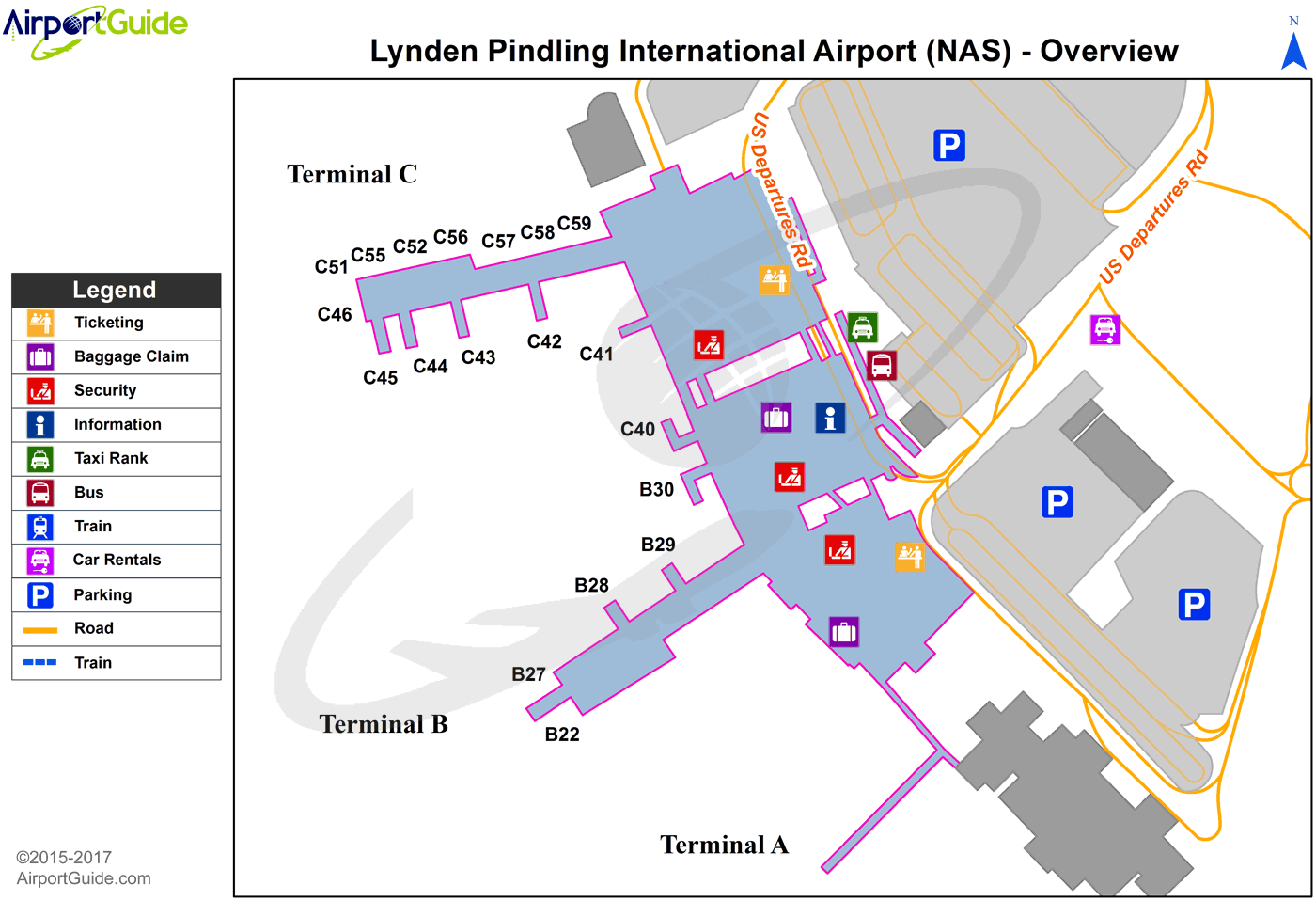
Maps & Diagrams
NAS Sectional
Flight Planning
at skyvector.com
at skyvector.com
