
Location
Latitude: |
49-11-41.0000N (49.194722) |
Longitude: |
123-11-02.0000W (-123.183889) |
Elevation: |
14.0 feet MSL (4 m MSL) |
Magnetic Variation: |
15.5 E (as of December 2025 from WMM2020 model) |
Time Zone: |
UTC -8.0 (Standard Time) UTC -7.0 (Daylight Savings Time) |
Contacts
Manager: |
Privately owned: |
Operations
Airport Status: |
Operational |
Facility Use: |
Public |
Type: |
Airport |
Activation Date: |
04/2005 |
Control tower: |
Yes |
Boundary ARTCC: |
ZVR (Vancouver) |
Responsible ARTCC: |
ZVR (Vancouver) |
Traffic Pattern Altitude (MSL): |
1014 feet (309 m) |
NOTAM-D Service: |
No |
International Airport of Entry: |
No |
Based Aircraft
Annual Operations (as of )
Communications
| Tower: | VANCOUVER 118.7 ;SOUTH 119.55 ;NORTH Hrs: 24 |
| Clearance Del.: | 121.4 |
| Ground: | 121.7 ;SOUTH 127.15 ;NORTH |
| ATIS: | 124.6 |
Fixed Based Operators (FBOs) & Fuel
(Click on a business for detail)
Please help us keep this information up to date. This is a FREE SERVICE just like everything else on Airport Guide!
Please help us keep this information up to date. This is a FREE SERVICE just like everything else on Airport Guide!
| Business Name | Frequency | Phone | Fuel Grade |
|---|
Flight Service Stations
| Primary | Alternate | |
| FSS on Field: | ||
| FSS Name (ID): | Kamloops FIC(YKA) | |
| Frequency: | ||
| Toll Free Phone: |
Instrument Procedures / Charts
Terminal Procedures are only available for airports in several countries with more being added all the time. If you are looking for a specific country's charts, please send an email to support(at)airportguide.com stating the country name. This will be used to prioritize the implementation.
Navigation Aids (Navaids) near YVR
| Dist (NM) | ID | Morse Code | Name | Type | Freq | True Hdg | Mag Hdg |
|---|---|---|---|---|---|---|---|
| 0.6 | IMK | Vancouver | DME | 111.10 | 280 | 265 | |
| 0.8 | IVR | Vancouver | DME | 109.50 | 240 | 225 | |
| 0.9 | IRD | Vancouver | DME | 111.90 | 60 | 45 | |
| 1.4 | ZVR | Sea Island | NDB | 368 | 262 | 247 | |
| 5.1 | VR | Vancouver | NDB | 266 | 104 | 89 | |
| 7.2 | YVR | _ . _ _ . . . _ . _ . | Vancouver | VOR-DME | 115.90 | 169 | 154 |
| 7.2 | YVR | Vancouver | VORTAC | 115.90 | 168 | 153 | |
| 18.4 | YPK | Pitt Meadows Bc | VOR | 112.40 | 85 | 70 | |
| 19.7 | AP | . _ . _ _ . | Active Pass | NDB | 378 | 192 | 177 |
| 20.5 | WC | . _ _ _ . _ . | White Rock | NDB | 332 | 123 | 108 |
| 27.3 | YCD | _ . _ _ _ . _ . _ . . | Nanaimo | NDB | 251 | 261 | 245 |
| 28.1 | HUH | . . . . . . _ . . . . | Whatcom | VORTAC | 113.00 | 121 | 106 |
| 28.2 | 1CD | Nanaimo | DME | 111.45 | 253 | 237 | |
| 29.4 | XX | _ . . _ _ . . _ | Abbotsford | NDB | 344 | 111 | 96 |
| 30.5 | YYJ | _ . _ _ _ . _ _ . _ _ _ | Victoria | VOR-DME | 113.70 | 202 | 187 |
| 34.1 | YJ | _ . _ _ . _ _ _ | Victoria | NDB | 200 | 194 | 179 |
| 34.3 | MB | Mill Bay | NDB | 293 | 203 | 188 | |
| 41.4 | FHR | . . _ . . . . . . _ . | Friday Harbor | NDB | 284 | 171 | 156 |
| 44.2 | OPZ | _ _ _ . _ _ . _ _ . . | Lopez Island | NDB | 356 | 166 | 151 |
| 45.7 | LU | Cultus | NDB | 214 | 102 | 87 |
Nearby Airports with Fuel
Notices to Airmen (NOTAMS)
Remarks
| A110-1 | MIGRATORY BIRDS INVOF ARPT FRM APPROX OCT-APR. |
Runways
Runway Summary
| Runways: | 08L/26R 08R/26L 13/31 |
| Longest Runway: | 08R/26L is 11500 ft (3505 m) long |
| Runways with an Instrument Approach: |
YVR Seaplane Base Runway Details
| Runway 08L/26R | 9940 ft x 200 ft (3030 m x 61 m) | |
| Surface: | Concrete - No special surface treatment | |
| Runway Edge Lights: | High Intensity | |
Runway 08L |
Runway 26R |
|
|
Runway True Alignment: |
081 | 261 |
Glide Path Angle: |
0.0 degrees | 0.0 degrees |
Approach Light System: |
Standard 2,400 Foot High Intensity Approach Lighting System With Sequenced Flashers, Cat. II or III Config. | Standard 2,400 Foot High Intensity Approach Lighting System With Sequenced Flashers, Cat. II or III Config. |
REIL: |
Yes | Yes |
Touchdown Lights: |
No | No |
| Runway 08R/26L | 11500 ft x 200 ft (3505 m x 61 m) | |
| Surface: | Concrete - No special surface treatment | |
| Runway Edge Lights: | High Intensity | |
Runway 08R |
Runway 26L |
|
|
Runway True Alignment: |
081 | 261 |
Glide Path Angle: |
0.0 degrees | 0.0 degrees |
Approach Light System: |
Standard 2,400 Foot High Intensity Approach Lighting System With Sequenced Flashers, Cat. II or III Config. | Standard 2,400 Foot High Intensity Approach Lighting System With Sequenced Flashers, Cat. II or III Config. |
REIL: |
Yes | Yes |
Displaced Threshold: |
500 |
| Runway 13/31 | 7300 ft x 200 ft (2225 m x 61 m) | |
| Surface: | Concrete - No special surface treatment | |
Runway 13 |
Runway 31 |
|
Glide Path Angle: |
0.0 degrees | 0.0 degrees |
Services
Bottled Oxygen: |
None |
Bulk Oxygen: |
None |
Fuel Available: |
100LL, Jet A |
Landing Fees: |
No |
Other Services: |
Seaplane instruction and rental |
Ratings and Reviews
Write a review for Vancouver International Airport
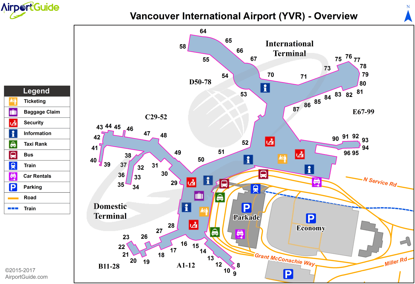
Maps & Diagrams
YVR Sectional
Flight Planning
at skyvector.com
at skyvector.com
