
Location
Latitude: |
37-28-08.7634N (37.469101) |
Longitude: |
126-27-03.587E (126.450996) |
Elevation: |
23 feet MSL (7 m MSL) |
Magnetic Variation: |
8.9 W (as of April 2024 from WMM2020 model) |
Time Zone: |
UTC +9.0 (Standard Time) UTC +9.0 (Daylight Savings Time) |
Contacts
Manager: |
: |
Operations
Airport Status: |
Operational |
Facility Use: |
Public |
Type: |
Airport |
Traffic Pattern Altitude (MSL): |
1023 feet (312 m) |
Based Aircraft
Annual Operations (as of )
Communications
| TWR: | 118.2 |
| CLNC DEL: | 121 |
| GND: | 121.4 |
| RAMP CON: | 121.65 |
| SEOUL APP: | 120.8 |
| SEOUL DEP: | 121.35 |
| ATIS: | 23.025 |
Fixed Based Operators (FBOs) & Fuel
(Click on a business for detail)
Please help us keep this information up to date. This is a FREE SERVICE just like everything else on Airport Guide! If you see that a business needs to be added, modified, or deleted please fill out our Update Form.
To add, modify, or delete a business click here.
Please help us keep this information up to date. This is a FREE SERVICE just like everything else on Airport Guide! If you see that a business needs to be added, modified, or deleted please fill out our Update Form.
| Business Name | Frequency | Phone | Fuel Grade |
|---|---|---|---|
| BaseKOR Co.,Ltd.
Website Update FBO info |
+82-32-744-4814 |
Flight Service Stations
| Primary | Alternate | |
| FSS on Field: | ||
| FSS Name (ID): | ||
| Frequency: | ||
| Toll Free Phone: |
Instrument Procedures / Charts
Terminal Procedures are only available for airports in several countries with more being added all the time. If you are looking for a specific country's charts, please send an email to support(at)airportguide.com stating the country name. This will be used to prioritize the implementation.
Navigation Aids (Navaids) near ICN
| Dist (NM) | ID | Morse Code | Name | Type | Freq | True Hdg | Mag Hdg |
|---|---|---|---|---|---|---|---|
| 1.8 | NCN | Incheon | VOR-DME | 113.80 | 327 | 336 | |
| 17.1 | KIP | Gimpo | VOR-DME | 113.60 | 71 | 80 | |
| 23.0 | SEL | Anyang | VORTAC | 115.50 | 98 | 107 | |
| 29.6 | SWN | Suwon | TACAN | 108.50 | 117 | 126 | |
| 30.5 | YJU | Yangju | VOR-DME | 114.90 | 56 | 65 | |
| 31.2 | SOL | Seoul | TACAN | 110.90 | 94 | 103 | |
| 31.5 | KSM | Seoul | VOR-DME | 113.00 | 93 | 102 | |
| 35.7 | OSN | Osan | VORTAC | 114.70 | 129 | 138 | |
| 40.6 | PTK | Pyeongtaek | VOR-DME | 108.20 | 137 | 146 | |
| 41.1 | RE | Pyeongtaek | NDB | 381 | 137 | 146 | |
| 45.6 | SAN | Seosan | TACAN | 111.50 | 178 | 187 | |
| 51.8 | ICN | Icheon | VOR | 117.20 | 107 | 116 | |
| 67.3 | CHO | Cheongju | VOR-DME | 109.00 | 131 | 140 | |
| 67.7 | CHJ | Cheongju | TACAN | 110.50 | 132 | 141 | |
| 69.8 | WJ | Wonju | NDB | 274 | 94 | 103 | |
| 72.6 | HGS | Wonju | VOR-DME | 110.20 | 89 | 98 | |
| 72.7 | WNJ | Wonju | TACAN | 111.60 | 89 | 98 | |
| 73.6 | JWN | Jungwon | TACAN | 111.30 | 110 | 119 | |
| 73.9 | CW | Seongmu | NDB | 351 | 136 | 145 | |
| 78.9 | NSN | Nonsan | VOR-DME | 117.50 | 155 | 164 |
Nearby Airports with Fuel
| Dist (NM) | Name (Airport IDs) | True Hdg | Mag Hdg | Fuel Grade |
|---|---|---|---|---|
| 17.0 | Gimpo International Airport (GMP RKSS) |
71 | 80 | 100LL, Jet A |
| 29.9 | Suwon Airport (SWU RKSW) |
117 | 126 | 100LL, Jet A |
| 35.8 | Osan Air Base Airport (OSN RKSO) |
129 | 138 | 100LL, Jet A |
| 41.8 | G 217 Airport (QJP RKRO) |
55 | 64 | 100LL, Jet A |
| 67.5 | Cheongju International Airport (CJJ RKTU) |
131 | 140 | 100LL, Jet A |
| 94.3 | Kunsan Air Base Airport (KUV RKJK) |
175 | 184 | 100LL, Jet A |
Notices to Airmen (NOTAMS)
Remarks
No remarks for this landing facility
Runways
Runway Summary
| Runways: | 15L/33R 15R/33L 16L/34R 16R/34L |
| Longest Runway: | 16L/34R is 13123 ft (4000 m) long |
| Runways with an Instrument Approach: |
ICN Airport Runway Details
| Runway 15L/33R | 12303 ft x 197 ft (3750 m x 60 m) | |
| Runway Edge Lights: | Yes Intensity | |
Runway 15L |
Runway 33R |
|
Elevation: |
23 | 23 |
Latitude: |
37.48389816284 | 37.45640182495 |
Longitude: |
126.44000244140 | 126.46499633789 |
|
Runway True Alignment: |
145 | 325 |
Glide Path Angle: |
0.0 degrees | 0.0 degrees |
REIL: |
Yes | Yes |
Threshold Elevation: |
23 | 23 |
| Runway 15R/33L | 12303 ft x 197 ft (3750 m x 60 m) | |
| Runway Edge Lights: | Yes Intensity | |
Runway 15R |
Runway 33L |
|
Elevation: |
23 | 23 |
Latitude: |
37.48180007934 | 37.45420074462 |
Longitude: |
126.43599700927 | 126.46099853515 |
|
Runway True Alignment: |
145 | 325 |
Glide Path Angle: |
0.0 degrees | 0.0 degrees |
REIL: |
Yes | Yes |
Threshold Elevation: |
23 | 23 |
| Runway 16L/34R | 13123 ft x 197 ft (4000 m x 60 m) | |
| Runway Edge Lights: | Yes Intensity | |
Runway 16L |
Runway 34R |
|
Latitude: |
37.47274 | 37.443432 |
Longitude: |
126.415631 | 126.441697 |
|
Runway True Alignment: |
145 | 325 |
Glide Path Angle: |
0.0 degrees | 0.0 degrees |
REIL: |
Yes | Yes |
| Runway 16R/34L | 12303 ft x 197 ft (3750 m x 60 m) | |
| Runway Edge Lights: | Yes Intensity | |
Runway 16R |
Runway 34L |
|
Elevation: |
23 | 23 |
Latitude: |
37.468746 | 37.441272 |
Longitude: |
126.413446 | 126.437882 |
|
Runway True Alignment: |
145 | 325 |
Glide Path Angle: |
0.0 degrees | 0.0 degrees |
REIL: |
Yes | Yes |
Threshold Elevation: |
23 | 23 |
Services
Fuel Available: |
100LL, Jet A |
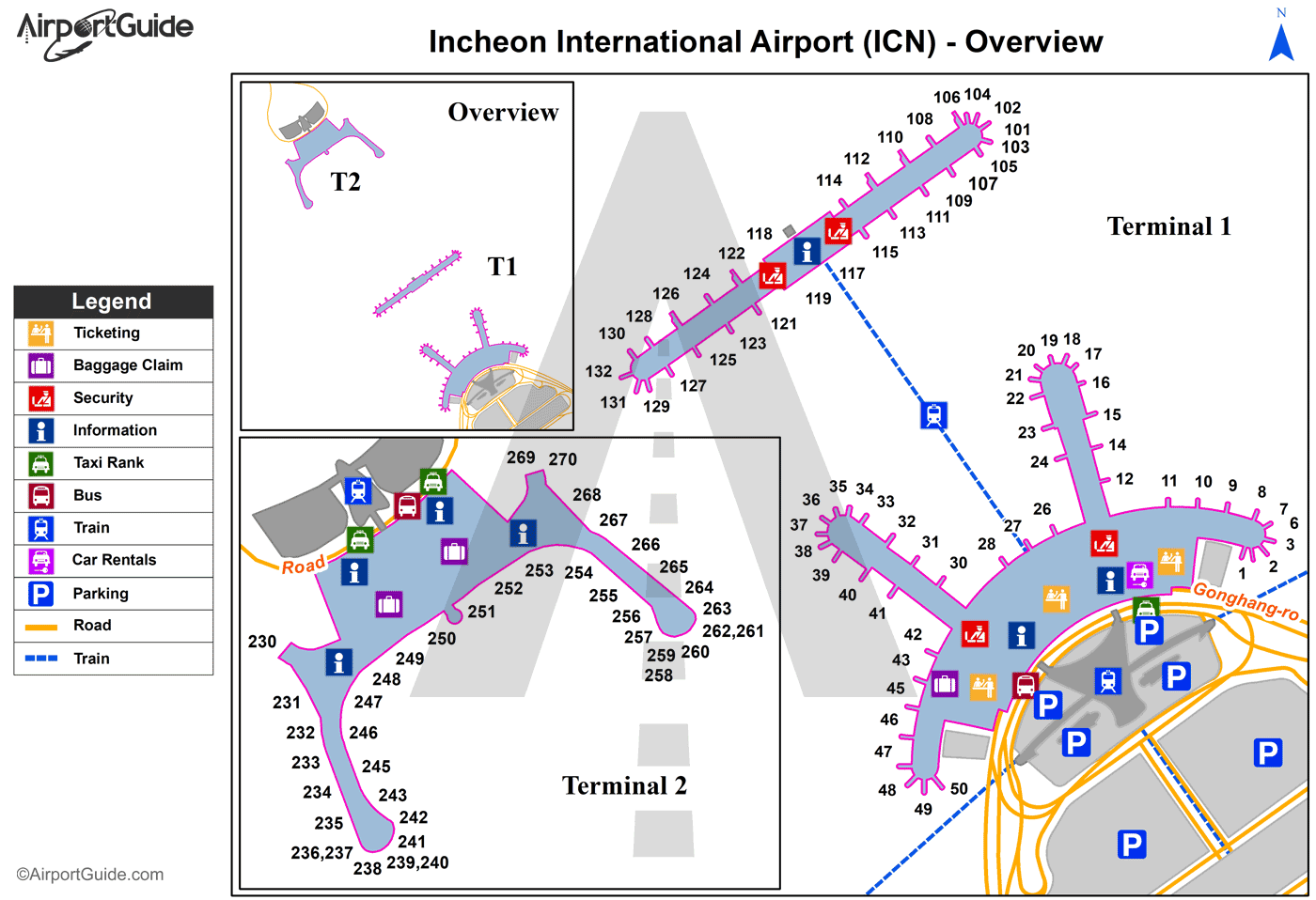
Maps & Diagrams
ICN Sectional
Flight Planning
at skyvector.com
at skyvector.com
