


Location
Latitude: |
40-58-36.8328N (40.976898) |
Longitude: |
028-48-52.56E (28.8146) |
Elevation: |
163 feet MSL (50 m MSL) |
Magnetic Variation: |
6.1 E (as of May 2024 from WMM2020 model) |
Time Zone: |
UTC +2.0 (Standard Time) UTC +3.0 (Daylight Savings Time) |
Contacts
Manager: |
: |
Operations
Airport Status: |
Operational |
Facility Use: |
Public |
Type: |
Airport |
Traffic Pattern Altitude (MSL): |
1163 feet (354 m) |
Based Aircraft
Annual Operations (as of )
Communications
| YESILKOY TWR: | 118.1 |
| YESILKOY DELIVERY: | 121.7 |
| YESILKOY GND: | 121.8 |
| YESILKOY RAMP: | 121.9 |
| YESILKOY APP: | 120.5 |
| ATIS: | 128.2 |
Fixed Based Operators (FBOs) & Fuel
(Click on a business for detail)
Please help us keep this information up to date. This is a FREE SERVICE just like everything else on Airport Guide! If you see that a business needs to be added, modified, or deleted please fill out our Update Form.
To add, modify, or delete a business click here.
Please help us keep this information up to date. This is a FREE SERVICE just like everything else on Airport Guide! If you see that a business needs to be added, modified, or deleted please fill out our Update Form.
| Business Name | Frequency | Phone | Fuel Grade |
|---|---|---|---|
| Aerowings Aviation
Website Update FBO info |
131.425 | +90 212 663 01 00 | 100LL, Jet A-1 |
Flight Service Stations
| Primary | Alternate | |
| FSS on Field: | ||
| FSS Name (ID): | ||
| Frequency: | ||
| Toll Free Phone: |
Instrument Procedures / Charts
Terminal Procedures are only available for airports in several countries with more being added all the time. If you are looking for a specific country's charts, please send an email to support(at)airportguide.com stating the country name. This will be used to prioritize the implementation.
Navigation Aids (Navaids) near IST
| Dist (NM) | ID | Morse Code | Name | Type | Freq | True Hdg | Mag Hdg |
|---|---|---|---|---|---|---|---|
| 0.9 | IST | Istanbul | VORTAC | 112.50 | 194 | 188 | |
| 1.0 | ST | Ataturk | NDB | 340 | 211 | 205 | |
| 4.8 | IS | Istanbul | NDB | 396 | 355 | 349 | |
| 13.1 | CEK | Cekmece | NDB | 328 | 277 | 271 | |
| 17.4 | BKZ | Beykoz | VOR-DME | 117.30 | 58 | 52 | |
| 23.4 | SAB | Sabiha Gokcen | NDB | 347 | 101 | 95 | |
| 23.4 | SBH | Sabiha Gokcen | VOR-DME | 108.80 | 101 | 95 | |
| 35.0 | YAA | Yalova | VOR-DME | 117.70 | 149 | 143 | |
| 35.4 | YAA | Yalova | NDB | 305 | 134 | 128 | |
| 41.0 | CRL | Corlu | VOR-DME | 114.80 | 285 | 279 | |
| 41.0 | CRL | Corlu | NDB | 426 | 285 | 279 | |
| 42.3 | CLU | Corlu | TACAN | 115.90 | 282 | 276 | |
| 55.2 | YEN | Yenisehir | TACAN | 113.20 | 140 | 134 | |
| 55.6 | BDM | Bandirma | TACAN | 111.00 | 223 | 217 | |
| 55.7 | BRY | Yenisehir | NDB | 352 | 140 | 134 | |
| 55.7 | BRY | Yenisehir | VOR-DME | 115.30 | 140 | 134 | |
| 58.6 | ARF | Topel | TACAN | 113.90 | 104 | 98 | |
| 59.5 | ARF | Topel | NDB | 384 | 103 | 97 | |
| 62.9 | EKI | Tekirdag | VOR-DME | 116.30 | 269 | 263 | |
| 77.9 | BIG | Biga | VOR-DME | 116.90 | 238 | 232 |
Nearby Airports with Fuel
| Dist (NM) | Name (Airport IDs) | True Hdg | Mag Hdg | Fuel Grade |
|---|
Notices to Airmen (NOTAMS)
Remarks
No remarks for this landing facility
Runways
Runway Summary
| Runways: | 05/23 [X] 17L/35R [X] 17R/35L |
| Longest Runway: | [X] 17L/35R is 9843 ft (3000 m) long |
| Runways with an Instrument Approach: |
IST Airport Runway Details
| Runway 05/23 | 8530 ft x 197 ft (2600 m x 60 m) | |
| Runway Edge Lights: | Yes Intensity | |
Runway 05 |
Runway 23 |
|
Elevation: |
93 | 90 |
Latitude: |
40.96630096435 | 40.97779846191 |
Longitude: |
28.811399459838 | 28.836200714111 |
|
Runway True Alignment: |
59 | 239 |
Glide Path Angle: |
0.0 degrees | 0.0 degrees |
REIL: |
Yes | Yes |
Threshold Elevation: |
93 | 90 |
Displaced Threshold: |
492 |
| Runway [X] 17L/35R | 9843 ft x 148 ft (3000 m x 45 m) | |
| Runway Edge Lights: | Yes Intensity | |
Runway [X] 17L |
Runway [X] 35R |
|
Elevation: |
157 | 100 |
Latitude: |
40.996399 | 40.969501 |
Longitude: |
28.8085 | 28.8095 |
|
Runway True Alignment: |
178 | 358 |
Glide Path Angle: |
0.0 degrees | 0.0 degrees |
REIL: |
Yes | Yes |
Threshold Elevation: |
157 | 100 |
| Runway [X] 17R/35L | 9843 ft x 148 ft (3000 m x 45 m) | |
| Runway Edge Lights: | Yes Intensity | |
Runway [X] 17R |
Runway [X] 35L |
|
Elevation: |
163 | 102 |
Latitude: |
40.996399 | 40.969299 |
Longitude: |
28.806 | 28.806999 |
|
Runway True Alignment: |
178 | 358 |
Glide Path Angle: |
0.0 degrees | 0.0 degrees |
REIL: |
Yes | Yes |
Threshold Elevation: |
163 | 102 |
Services
Fuel Available: |
100LL, Jet A-1 |
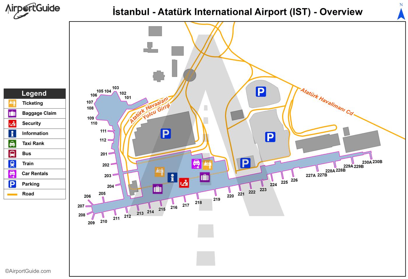
Maps & Diagrams
IST Sectional
Flight Planning
at skyvector.com
at skyvector.com
