
Location
Latitude: |
40-53-54.9655N (40.898602) |
Longitude: |
029-18-33.121E (29.3092) |
Elevation: |
312 feet MSL (95 m MSL) |
Magnetic Variation: |
6.1 E (as of April 2024 from WMM2020 model) |
Time Zone: |
UTC +2.0 (Standard Time) UTC +3.0 (Daylight Savings Time) |
Contacts
Manager: |
: |
Operations
Airport Status: |
Operational |
Facility Use: |
Public |
Type: |
Airport |
Traffic Pattern Altitude (MSL): |
1312 feet (400 m) |
Based Aircraft
Annual Operations (as of )
Communications
| TWR: | 37.877 |
| TWR: | 118.8 |
| GND: | 121.75 |
| ATIS: | 128.55 |
Fixed Based Operators (FBOs) & Fuel
(Click on a business for detail)
Please help us keep this information up to date. This is a FREE SERVICE just like everything else on Airport Guide! If you see that a business needs to be added, modified, or deleted please fill out our Update Form.
To add, modify, or delete a business click here.
Please help us keep this information up to date. This is a FREE SERVICE just like everything else on Airport Guide! If you see that a business needs to be added, modified, or deleted please fill out our Update Form.
| Business Name | Frequency | Phone | Fuel Grade |
|---|
Flight Service Stations
| Primary | Alternate | |
| FSS on Field: | ||
| FSS Name (ID): | ||
| Frequency: | ||
| Toll Free Phone: |
Instrument Procedures / Charts
Terminal Procedures are only available for airports in several countries with more being added all the time. If you are looking for a specific country's charts, please send an email to support(at)airportguide.com stating the country name. This will be used to prioritize the implementation.
Navigation Aids (Navaids) near SAW
| Dist (NM) | ID | Morse Code | Name | Type | Freq | True Hdg | Mag Hdg |
|---|---|---|---|---|---|---|---|
| 0.5 | SAB | Sabiha Gokcen | NDB | 347 | 84 | 78 | |
| 0.5 | SBH | Sabiha Gokcen | VOR-DME | 108.80 | 82 | 76 | |
| 15.6 | BKZ | Beykoz | VOR-DME | 117.30 | 331 | 325 | |
| 20.2 | YAA | Yalova | NDB | 305 | 171 | 165 | |
| 23.0 | IST | Istanbul | VORTAC | 112.50 | 279 | 273 | |
| 23.2 | ST | Ataturk | NDB | 340 | 279 | 273 | |
| 24.7 | IS | Istanbul | NDB | 396 | 292 | 286 | |
| 25.8 | YAA | Yalova | VOR-DME | 117.70 | 190 | 184 | |
| 35.7 | ARF | Topel | TACAN | 113.90 | 105 | 99 | |
| 36.0 | CEK | Cekmece | NDB | 328 | 280 | 274 | |
| 36.6 | ARF | Topel | NDB | 384 | 105 | 99 | |
| 40.2 | YEN | Yenisehir | TACAN | 113.20 | 162 | 156 | |
| 40.3 | BRY | Yenisehir | VOR-DME | 115.30 | 161 | 155 | |
| 40.3 | BRY | Yenisehir | NDB | 352 | 161 | 155 | |
| 63.9 | CRL | Corlu | VOR-DME | 114.80 | 284 | 278 | |
| 63.9 | CRL | Corlu | NDB | 426 | 284 | 278 | |
| 65.2 | CLU | Corlu | TACAN | 115.90 | 282 | 276 | |
| 70.4 | BDM | Bandirma | TACAN | 111.00 | 239 | 233 | |
| 85.2 | ESR | Eskisehir | VOR-DME | 108.20 | 139 | 133 | |
| 85.4 | EKI | Tekirdag | VOR-DME | 116.30 | 272 | 266 |
Nearby Airports with Fuel
| Dist (NM) | Name (Airport IDs) | True Hdg | Mag Hdg | Fuel Grade |
|---|---|---|---|---|
| 22.9 | Atatürk International Airport (IST LTBA) |
281 | 275 | 100LL, Jet A-1 |
Notices to Airmen (NOTAMS)
Remarks
No remarks for this landing facility
Runways
Runway Summary
| Runways: | 06L/24R 06R/24L |
| Longest Runway: | 06R/24L is 11614 ft (3540 m) long |
| Runways with an Instrument Approach: |
SAW Airport Runway Details
| Runway 06L/24R | 9843 ft x 148 ft (3000 m x 45 m) | |
| Runway Edge Lights: | Yes Intensity | |
Runway 06L |
Runway 24R |
|
Elevation: |
293 | 304 |
Latitude: |
40.8927 | 40.9044 |
Longitude: |
29.2934 | 29.325001 |
|
Runway True Alignment: |
64 | 244 |
Glide Path Angle: |
0.0 degrees | 0.0 degrees |
REIL: |
Yes | Yes |
Threshold Elevation: |
293 | 304 |
| Runway 06R/24L | 11614 ft x 197 ft (3540 m x 60 m) | |
Runway 06R |
Runway 24L |
|
Elevation: |
289 | 289 |
Latitude: |
40.884846 | 40.898762 |
Longitude: |
29.302591 | 29.340384 |
Glide Path Angle: |
0.0 degrees | 0.0 degrees |
Threshold Elevation: |
289 | 289 |
Services
Fuel Available: |
100LL, Jet A-1 |
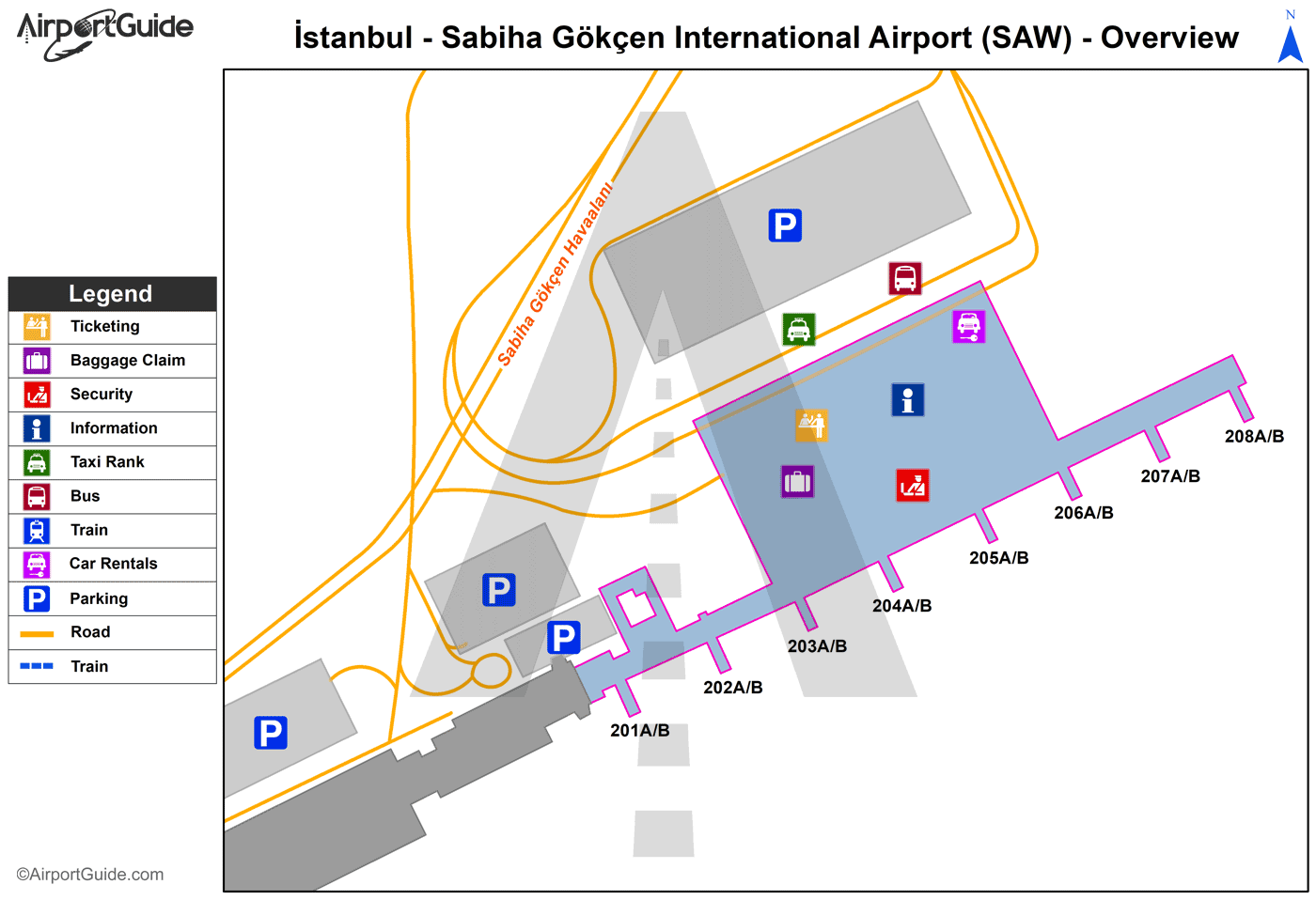
Maps & Diagrams
SAW Sectional
Flight Planning
at skyvector.com
at skyvector.com
