


Location
Latitude: |
10-35-35.88N (10.5933) |
Longitude: |
085-32-39.8508W (-85.544403) |
Elevation: |
270 feet MSL (82 m MSL) |
Magnetic Variation: |
1.9 W (as of May 2024 from WMM2020 model) |
Time Zone: |
UTC -6.0 (Standard Time) UTC -6.0 (Daylight Savings Time) |
Contacts
Manager: |
: |
Operations
Airport Status: |
Operational |
Facility Use: |
Public |
Type: |
Airport |
Traffic Pattern Altitude (MSL): |
1270 feet (387 m) |
Based Aircraft
Annual Operations (as of )
Communications
| COCO RDO: | 126.8 |
| LIBERIA TWR: | 118.8 |
| GND: | 121.7 |
| LIBERIA APP: | 119.8 |
Fixed Based Operators (FBOs) & Fuel
(Click on a business for detail)
Please help us keep this information up to date. This is a FREE SERVICE just like everything else on Airport Guide! If you see that a business needs to be added, modified, or deleted please fill out our Update Form.
To add, modify, or delete a business click here.
Please help us keep this information up to date. This is a FREE SERVICE just like everything else on Airport Guide! If you see that a business needs to be added, modified, or deleted please fill out our Update Form.
| Business Name | Frequency | Phone | Fuel Grade |
|---|
Flight Service Stations
| Primary | Alternate | |
| FSS on Field: | ||
| FSS Name (ID): | ||
| Frequency: | ||
| Toll Free Phone: |
Instrument Procedures / Charts
Terminal Procedures are only available for airports in several countries with more being added all the time. If you are looking for a specific country's charts, please send an email to support(at)airportguide.com stating the country name. This will be used to prioritize the implementation.
Navigation Aids (Navaids) near LIR
| Dist (NM) | ID | Morse Code | Name | Type | Freq | True Hdg | Mag Hdg |
|---|---|---|---|---|---|---|---|
| 0.1 | LIB | Liberia | VOR-DME | 112.80 | 270 | 272 | |
| 56.0 | CHI | Los Chiles | NDB | 221 | 61 | 63 | |
| 64.2 | FIO | Fiora | NDB | 212 | 97 | 99 | |
| 83.0 | HOR | Horcones | NDB | 260 | 117 | 119 | |
| 85.5 | TIO | El Coco | VOR-DME | 115.70 | 115 | 117 | |
| 97.1 | PAR | Parrita | NDB | 395 | 131 | 133 | |
| 99.7 | YNP | Managua | NDB | 290 | 338 | 340 | |
| 99.9 | MGA | Managua | VOR-DME | 112.10 | 338 | 340 |
Nearby Airports with Fuel
| Dist (NM) | Name (Airport IDs) | True Hdg | Mag Hdg | Fuel Grade |
|---|
Notices to Airmen (NOTAMS)
Remarks
No remarks for this landing facility
Runways
Runway Summary
| Runways: | 07/25 |
| Longest Runway: | 07/25 is 9022 ft (2750 m) long |
| Runways with an Instrument Approach: |
LIR Airport Runway Details
| Runway 07/25 | 9022 ft x 148 ft (2750 m x 45 m) | |
| Runway Edge Lights: | Yes Intensity | |
Runway 07 |
Runway 25 |
|
Elevation: |
249 | 269 |
Latitude: |
10.58909988403 | 10.59749984741 |
Longitude: |
-85.55629730224 | -85.53250122070 |
|
Runway True Alignment: |
70 | 250 |
Glide Path Angle: |
0.0 degrees | 0.0 degrees |
REIL: |
Yes | Yes |
Threshold Elevation: |
249 | 269 |
Services
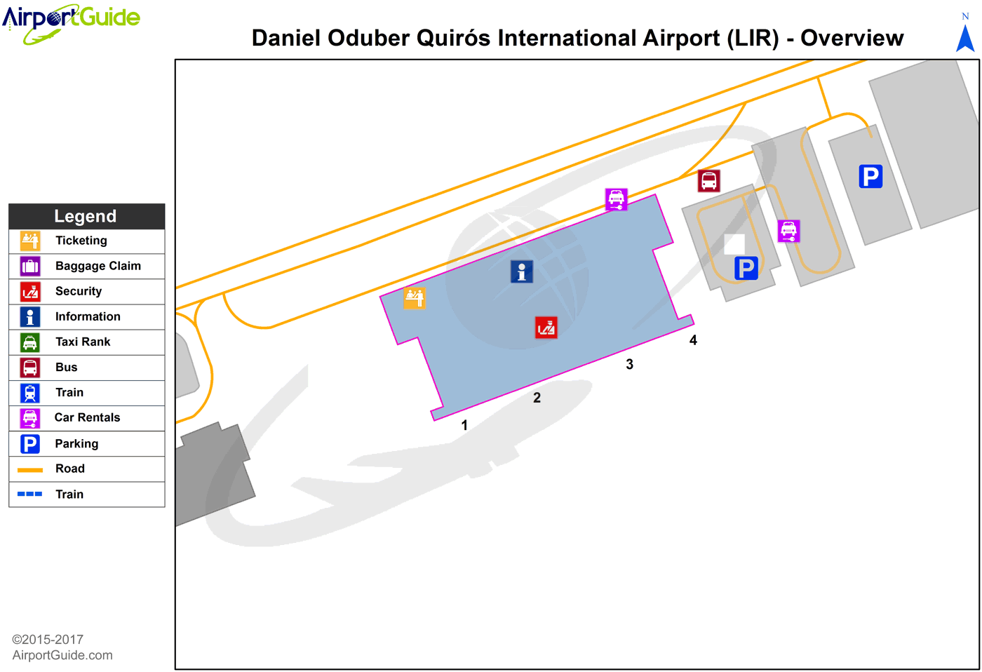
Maps & Diagrams
LIR Sectional
Flight Planning
at skyvector.com
at skyvector.com
