
Location
Latitude: |
50-33-47.9952N (50.561901) |
Longitude: |
003-05-12.7896E (3.08944) |
Elevation: |
157 feet MSL (48 m MSL) |
Magnetic Variation: |
1.9 E (as of May 2024 from WMM2020 model) |
Time Zone: |
UTC +1.0 (Standard Time) UTC +2.0 (Daylight Savings Time) |
Contacts
Manager: |
: |
Operations
Airport Status: |
Operational |
Facility Use: |
Public |
Type: |
Airport |
Traffic Pattern Altitude (MSL): |
1157 feet (353 m) |
Based Aircraft
Annual Operations (as of )
Communications
| LILLE INFO: | 134.825 |
| LILLE TWR: | 118.55 |
| LILLE GND: | 121.85 |
| LILLE APP: | 120.275 |
| ATIS: | 119.325 |
Fixed Based Operators (FBOs) & Fuel
(Click on a business for detail)
Please help us keep this information up to date. This is a FREE SERVICE just like everything else on Airport Guide! If you see that a business needs to be added, modified, or deleted please fill out our Update Form.
To add, modify, or delete a business click here.
Please help us keep this information up to date. This is a FREE SERVICE just like everything else on Airport Guide! If you see that a business needs to be added, modified, or deleted please fill out our Update Form.
| Business Name | Frequency | Phone | Fuel Grade |
|---|---|---|---|
| Aviapartner
Website Update FBO info |
131.775 |
Flight Service Stations
| Primary | Alternate | |
| FSS on Field: | ||
| FSS Name (ID): | ||
| Frequency: | ||
| Toll Free Phone: |
Instrument Procedures / Charts
Terminal Procedures are only available for airports in several countries with more being added all the time. If you are looking for a specific country's charts, please send an email to support(at)airportguide.com stating the country name. This will be used to prioritize the implementation.
Navigation Aids (Navaids) near LIL
| Dist (NM) | ID | Morse Code | Name | Type | Freq | True Hdg | Mag Hdg |
|---|---|---|---|---|---|---|---|
| 0.0 | LEQ | Lesquin | VOR-DME | 109.00 | 236 | 234 | |
| 16.5 | OKT | Kortrijk | NDB | 371 | 18 | 16 | |
| 20.2 | CMB | Cambrai | VORTAC | 112.60 | 173 | 171 | |
| 27.9 | CIV | Chièvres | TACAN | 113.20 | 88 | 86 | |
| 28.3 | CIV | Chièvres | VOR | 113.20 | 88 | 86 | |
| 28.7 | MAK | Mackel | NDB | 361 | 32 | 30 | |
| 36.0 | KOK | Koksy | VORTAC | 114.50 | 332 | 330 | |
| 39.1 | DD | Oostende | NDB | 353 | 345 | 343 | |
| 39.5 | ONO | Oostende | NDB | 400 | 354 | 352 | |
| 44.9 | AFI | Affligem | VOR-DME | 114.90 | 62 | 60 | |
| 45.2 | BNE | Boulogne-sur-Mer | VOR | 113.80 | 275 | 273 | |
| 48.2 | COA | Costa | VOR-DME | 110.05 | 11 | 9 | |
| 52.0 | GSY | Gosly | VOR-DME | 115.70 | 96 | 94 | |
| 53.5 | CC | Charleroi Lctr | NDB | 389 | 95 | 93 | |
| 53.8 | ABB | Abbeville | VOR-DME | 108.45 | 242 | 240 | |
| 54.7 | ING | Saint-Inglevert | NDB | 387 | 291 | 289 | |
| 54.7 | OZ | Brussels | NDB | 314 | 72 | 70 | |
| 55.0 | NIK | Nicky | VOR-DME | 117.40 | 48 | 46 | |
| 56.1 | ONC | Charleroi | NDB | 323 | 93 | 91 | |
| 58.7 | BUB | Brussels | VOR-DME | 114.60 | 69 | 67 |
Nearby Airports with Fuel
| Dist (NM) | Name (Airport IDs) | True Hdg | Mag Hdg | Fuel Grade |
|---|---|---|---|---|
| 97.8 | Rotterdam Airport (RTM EHRD) |
30 | 28 | 100LL |
Notices to Airmen (NOTAMS)
Remarks
No remarks for this landing facility
Runways
Runway Summary
| Runways: | 01/19 08/26 |
| Longest Runway: | 08/26 is 9268 ft (2825 m) long |
| Runways with an Instrument Approach: |
LIL Airport Runway Details
| Runway 01/19 | 5184 ft x 98 ft (1580 m x 30 m) | |
| Runway Edge Lights: | Yes Intensity | |
Runway 01 |
Runway 19 |
|
Elevation: |
148 | 153 |
Latitude: |
50.56010055541 | 50.57379913330 |
Longitude: |
3.0854599475860 | 3.0911400318145 |
|
Runway True Alignment: |
15 | 195 |
Glide Path Angle: |
0.0 degrees | 0.0 degrees |
REIL: |
Yes | Yes |
Threshold Elevation: |
148 | 153 |
| Runway 08/26 | 9268 ft x 148 ft (2825 m x 45 m) | |
| Runway Edge Lights: | Yes Intensity | |
Runway 08 |
Runway 26 |
|
Elevation: |
157 | 132 |
Latitude: |
50.56290054321 | 50.56850051879 |
Longitude: |
3.0830099582672 | 3.1222300529479 |
|
Runway True Alignment: |
78 | 258 |
Glide Path Angle: |
0.0 degrees | 0.0 degrees |
REIL: |
Yes | Yes |
Threshold Elevation: |
157 | 132 |
Displaced Threshold: |
918 |
Services
Fuel Available: |
100LL |
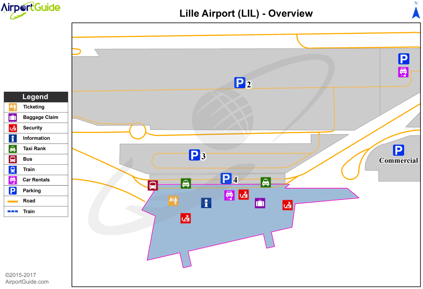
Maps & Diagrams
LIL Sectional
Flight Planning
at skyvector.com
at skyvector.com
