

Location
Latitude: |
12-24-52.9184S (-12.4147) |
Longitude: |
130-52-37.196E (130.876999) |
Elevation: |
103 feet MSL (31 m MSL) |
Magnetic Variation: |
2.3 E (as of May 2024 from WMM2020 model) |
Time Zone: |
UTC +9.5 (Standard Time) UTC +9.5 (Daylight Savings Time) |
Contacts
Manager: |
: |
Operations
Airport Status: |
Operational |
Facility Use: |
Public / Military |
Type: |
Airport |
Traffic Pattern Altitude (MSL): |
1103 feet (336 m) |
Based Aircraft
Annual Operations (as of )
Communications
| TWR: | 133.1 |
| CLNC DEL: | 126.8 |
| GND: | 121.8 |
| APP: | 125.2 |
| DEP: | 123 |
| ATIS: | 112.6 |
| BRISBANE CNTR: | 118.15 |
| RAAF AIR OPS: | 897.4 |
Fixed Based Operators (FBOs) & Fuel
(Click on a business for detail)
Please help us keep this information up to date. This is a FREE SERVICE just like everything else on Airport Guide! If you see that a business needs to be added, modified, or deleted please fill out our Update Form.
To add, modify, or delete a business click here.
Please help us keep this information up to date. This is a FREE SERVICE just like everything else on Airport Guide! If you see that a business needs to be added, modified, or deleted please fill out our Update Form.
| Business Name | Frequency | Phone | Fuel Grade |
|---|
Flight Service Stations
| Primary | Alternate | |
| FSS on Field: | ||
| FSS Name (ID): | ||
| Frequency: | ||
| Toll Free Phone: |
Instrument Procedures / Charts
Terminal Procedures are only available for airports in several countries with more being added all the time. If you are looking for a specific country's charts, please send an email to support(at)airportguide.com stating the country name. This will be used to prioritize the implementation.
Navigation Aids (Navaids) near DRW
| Dist (NM) | ID | Morse Code | Name | Type | Freq | True Hdg | Mag Hdg |
|---|---|---|---|---|---|---|---|
| 0.4 | DAR | Darwin | TACAN | 113.70 | 79 | 77 | |
| 1.3 | BGT | Bagot | NDB | 308 | 292 | 290 | |
| 1.8 | DN | Darwin | VOR-DME | 112.60 | 106 | 104 | |
| 5.0 | DN | Darwin | NDB | 344 | 101 | 99 | |
| 10.3 | HWS | Howard Springs | NDB | 257 | 108 | 106 |
Nearby Airports with Fuel
| Dist (NM) | Name (Airport IDs) | True Hdg | Mag Hdg | Fuel Grade |
|---|
Notices to Airmen (NOTAMS)
Remarks
No remarks for this landing facility
Runways
Runway Summary
| Runways: | 11/29 18/36 |
| Longest Runway: | 11/29 is 11004 ft (3354 m) long |
| Runways with an Instrument Approach: |
DRW Airport Runway Details
| Runway 11/29 | 11004 ft x 197 ft (3354 m x 60 m) | |
| Runway Edge Lights: | Yes Intensity | |
Runway 11 |
Runway 29 |
|
Elevation: |
96 | 81 |
Latitude: |
-12.4093999862 | -12.4191999435 |
Longitude: |
130.86500549316 | 130.89399719238 |
|
Runway True Alignment: |
109 | 289 |
Glide Path Angle: |
0.0 degrees | 0.0 degrees |
REIL: |
Yes | Yes |
Threshold Elevation: |
96 | 81 |
| Runway 18/36 | 5000 ft x 98 ft (1524 m x 30 m) | |
| Runway Edge Lights: | Yes Intensity | |
Runway 18 |
Runway 36 |
|
Elevation: |
96 | 91 |
Latitude: |
-12.4088001251 | -12.4225997924 |
Longitude: |
130.87100219726 | 130.87100219726 |
|
Runway True Alignment: |
180 | 360 |
Glide Path Angle: |
0.0 degrees | 0.0 degrees |
REIL: |
Yes | Yes |
Threshold Elevation: |
96 | 91 |
Services
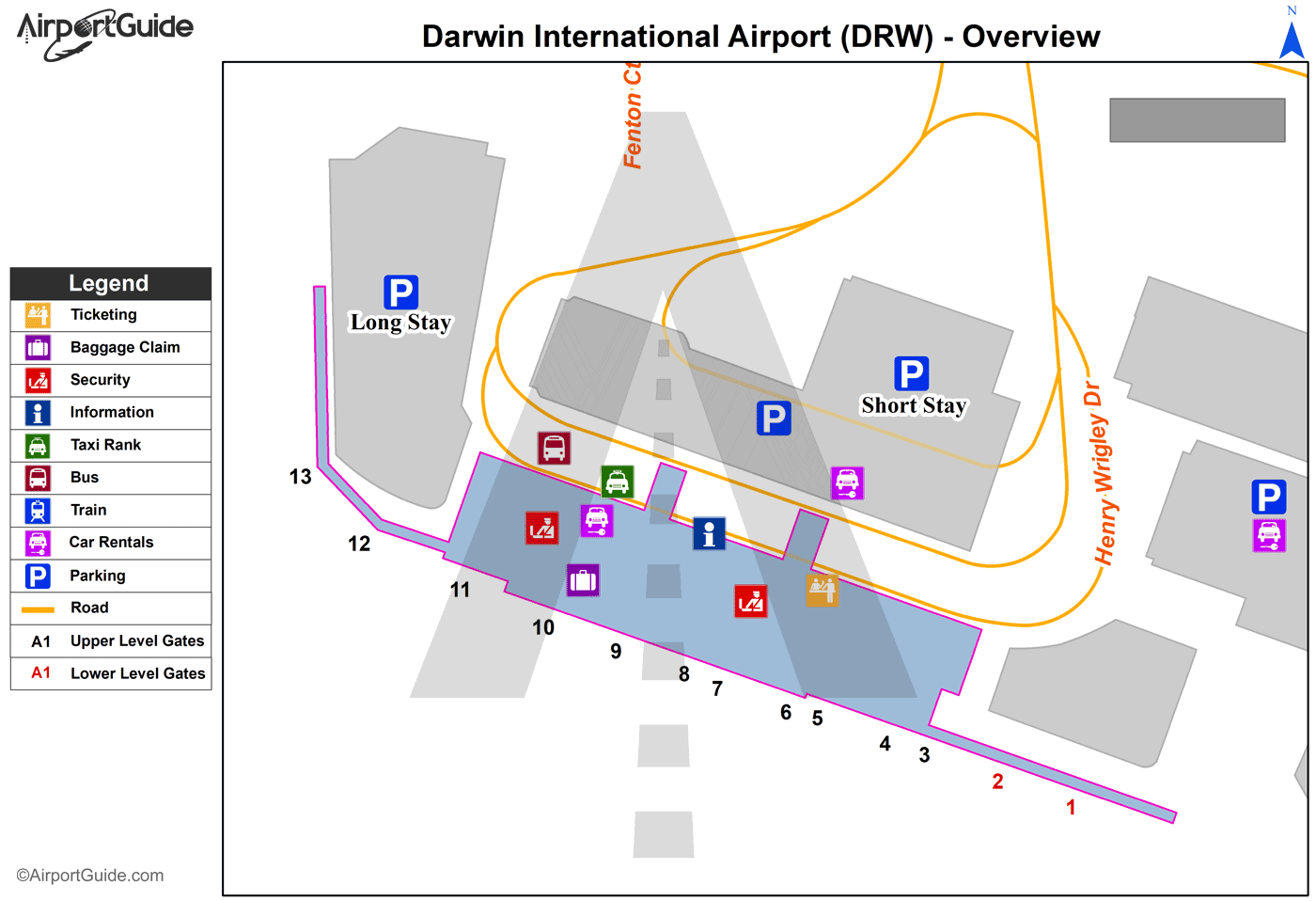
Maps & Diagrams
DRW Sectional
Flight Planning
at skyvector.com
at skyvector.com
