
Location
Latitude: |
52-33-34.92N (52.5597) |
Longitude: |
013-17-15.72E (13.2877) |
Elevation: |
122 feet MSL (37 m MSL) |
Magnetic Variation: |
4.9 E (as of April 2024 from WMM2020 model) |
Time Zone: |
UTC +1.0 (Standard Time) UTC +2.0 (Daylight Savings Time) |
Contacts
Manager: |
: |
Operations
Airport Status: |
Operational |
Facility Use: |
Public |
Type: |
Airport |
Traffic Pattern Altitude (MSL): |
1122 feet (342 m) |
Based Aircraft
Annual Operations (as of )
Communications
| BERLIN INFO: | 132.65 |
| TWR: | 124.525 |
| GND: | 121.925 |
| BERLIN DEP: | 120.625 |
| ATIS: | 112.3 |
| ATIS: | 125.9 |
| BERLIN ARR: | 119.625 |
| BERLIN DIRECTOR: | 136.1 |
| BERLIN MIL: | 136 |
Fixed Based Operators (FBOs) & Fuel
(Click on a business for detail)
Please help us keep this information up to date. This is a FREE SERVICE just like everything else on Airport Guide! If you see that a business needs to be added, modified, or deleted please fill out our Update Form.
To add, modify, or delete a business click here.
Please help us keep this information up to date. This is a FREE SERVICE just like everything else on Airport Guide! If you see that a business needs to be added, modified, or deleted please fill out our Update Form.
| Business Name | Frequency | Phone | Fuel Grade |
|---|
Flight Service Stations
| Primary | Alternate | |
| FSS on Field: | ||
| FSS Name (ID): | ||
| Frequency: | ||
| Toll Free Phone: |
Instrument Procedures / Charts
Terminal Procedures are only available for airports in several countries with more being added all the time. If you are looking for a specific country's charts, please send an email to support(at)airportguide.com stating the country name. This will be used to prioritize the implementation.
Navigation Aids (Navaids) near TXL
| Dist (NM) | ID | Morse Code | Name | Type | Freq | True Hdg | Mag Hdg |
|---|---|---|---|---|---|---|---|
| 0.1 | TGL | Tegel | VOR-DME | 112.30 | 358 | 353 | |
| 4.3 | DLS | Lubars | NDB | 414 | 40 | 35 | |
| 5.1 | RW | Tegel West | NDB | 392 | 260 | 255 | |
| 5.1 | GL | Tegel East | NDB | 321 | 81 | 76 | |
| 5.5 | DBR | Helmholtz | NDB | 347 | 177 | 172 | |
| 6.7 | TOF | Tempelhof | VOR-DME | 114.10 | 140 | 135 | |
| 8.4 | DIP | Planter | NDB | 327 | 128 | 123 | |
| 13.6 | SDD | Schonefeld | DME | 114.40 | 144 | 139 | |
| 14.4 | SLN | Schonefeld | NDB | 362 | 134 | 129 | |
| 21.8 | LWB | Lowenberg | VOR-DME | 114.55 | 345 | 340 | |
| 32.1 | FWE | Furstenwalde | VOR-DME | 113.30 | 105 | 100 | |
| 34.0 | KLF | Klasdorf | VOR-DME | 115.15 | 162 | 157 | |
| 47.7 | HOZ | Holzdorf | TACAN | 117.25 | 183 | 178 | |
| 47.9 | HOZ | Holzdorf | NDB | 406 | 188 | 183 | |
| 48.6 | SUI | Subi | VOR-DME | 116.70 | 102 | 97 | |
| 61.0 | CDD | Drewitz | DME | 112.05 | 130 | 125 | |
| 61.5 | DRW | Drewitz | NDB | 355 | 129 | 124 | |
| 62.6 | NRG | Neubrandenburg | NDB | 357 | 1 | 356 | |
| 62.7 | NEG | Neubrandenburg | TACAN | 108.05 | 0 | 355 | |
| 64.4 | MAG | Magdeburg | VOR-DME | 110.45 | 238 | 233 |
Nearby Airports with Fuel
| Dist (NM) | Name (Airport IDs) | True Hdg | Mag Hdg | Fuel Grade |
|---|---|---|---|---|
| 23.8 | Fehrbellin Airfield Airport (EDBF) |
306 | 301 | 100LL, JET A1 |
Notices to Airmen (NOTAMS)
Remarks
No remarks for this landing facility
Runways
Runway Summary
| Runways: | [X] 08L/26R [X] 08R/26L |
| Longest Runway: | [X] 08L/26R is 9918 ft (3023 m) long |
| Runways with an Instrument Approach: |
TXL Airport Runway Details
| Runway [X] 08L/26R | 9918 ft x 150 ft (3023 m x 46 m) | |
Runway [X] 08L |
Runway [X] 26R |
|
Elevation: |
110 | 117 |
Latitude: |
52.557675 | 52.56193 |
Longitude: |
13.309472 | |
|
Runway True Alignment: |
81 | 261 |
Glide Path Angle: |
0.0 degrees | 0.0 degrees |
Threshold Elevation: |
110 | 117 |
| Runway [X] 08R/26L | 7966 ft x 150 ft (2428 m x 46 m) | |
Runway [X] 08R |
Runway [X] 26L |
|
Elevation: |
109 | 122 |
Latitude: |
52.556862 | 52.55982 |
Longitude: |
13.30692 | |
|
Runway True Alignment: |
81 | 261 |
Glide Path Angle: |
0.0 degrees | 0.0 degrees |
Threshold Elevation: |
109 | 122 |
Displaced Threshold: |
328 | 686 |
Services
Fuel Available: |
100LL, JET A1 |
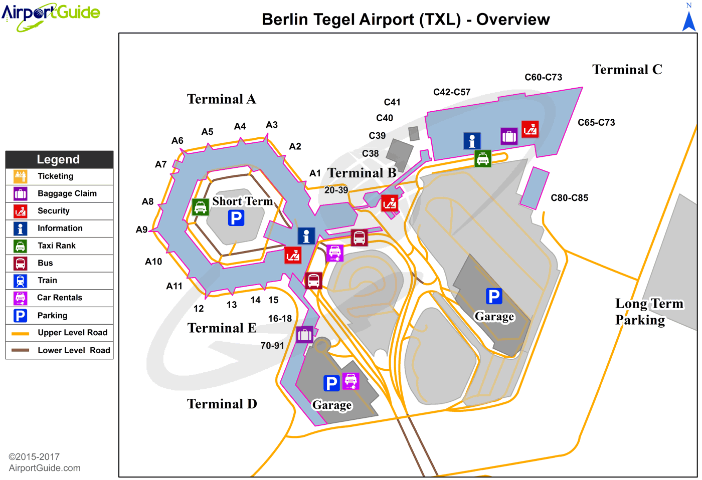
Maps & Diagrams
TXL Sectional
Flight Planning
at skyvector.com
at skyvector.com
