
Location
Latitude: |
48-13-59.52N (48.2332) |
Longitude: |
014-11-15E (14.1875) |
Elevation: |
980 feet MSL (299 m MSL) |
Magnetic Variation: |
4.8 E (as of April 2024 from WMM2020 model) |
Time Zone: |
UTC +1.0 (Standard Time) UTC +2.0 (Daylight Savings Time) |
Contacts
Manager: |
: |
Operations
Airport Status: |
Operational |
Facility Use: |
Public |
Type: |
Airport |
Traffic Pattern Altitude (MSL): |
1980 feet (604 m) |
Based Aircraft
Annual Operations (as of )
Communications
| TWR: | 118.8 |
| RADAR: | 129.625 |
| ATIS: | 128.125 |
| Vermundsjøen traffic: | 123.5 |
Fixed Based Operators (FBOs) & Fuel
(Click on a business for detail)
Please help us keep this information up to date. This is a FREE SERVICE just like everything else on Airport Guide! If you see that a business needs to be added, modified, or deleted please fill out our Update Form.
To add, modify, or delete a business click here.
Please help us keep this information up to date. This is a FREE SERVICE just like everything else on Airport Guide! If you see that a business needs to be added, modified, or deleted please fill out our Update Form.
| Business Name | Frequency | Phone | Fuel Grade |
|---|
Flight Service Stations
| Primary | Alternate | |
| FSS on Field: | ||
| FSS Name (ID): | ||
| Frequency: | ||
| Toll Free Phone: |
Instrument Procedures / Charts
Terminal Procedures are only available for airports in several countries with more being added all the time. If you are looking for a specific country's charts, please send an email to support(at)airportguide.com stating the country name. This will be used to prioritize the implementation.
Navigation Aids (Navaids) near LNZ
| Dist (NM) | ID | Morse Code | Name | Type | Freq | True Hdg | Mag Hdg |
|---|---|---|---|---|---|---|---|
| 3.4 | LNZ | Linz | VOR-DME | 116.60 | 266 | 261 | |
| 5.4 | LNZ | Linz | NDB | 327 | 87 | 82 | |
| 12.1 | FRE | Freistadt | VOR-DME | 113.50 | 349 | 344 | |
| 44.1 | R | Ceske Budejovice | NDB | 830 | 13 | 8 | |
| 44.7 | RA | Ceske Budejovice | NDB | 402 | 16 | 11 | |
| 53.7 | SBG | Salzburg | VOR-DME | 113.80 | 255 | 250 | |
| 54.0 | SU | Salzburg | NDB | 356 | 247 | 242 | |
| 54.2 | SI | Salzburg | NDB | 410 | 243 | 238 | |
| 54.2 | SBG | Salzburg | NDB | 382 | 253 | 248 | |
| 58.2 | EGG | Eggenfelden | NDB | 393 | 280 | 275 | |
| 59.1 | END | Eggenfelden | DME | 115.40 | 279 | 274 | |
| 66.2 | ZW | Zeltweg | NDB | 418 | 159 | 154 | |
| 69.7 | OKF | Desna | VOR-DME | 113.15 | 50 | 45 | |
| 71.8 | TUN | Tulln | VOR-DME | 111.40 | 85 | 80 | |
| 71.8 | TUN | Tulln | NDB | 358 | 85 | 80 | |
| 73.9 | STO | Stockerau | VOR-DME | 113.00 | 80 | 75 | |
| 73.9 | MDF | Milldorf | VOR-DME | 117.00 | 270 | 265 | |
| 79.4 | MBG | Moosburg | VOR-DME | 117.15 | 285 | 280 | |
| 81.7 | RDG | Roding | VOR-DME | 114.70 | 306 | 301 | |
| 82.3 | STE | Steinhof | NDB | 293 | 90 | 85 |
Nearby Airports with Fuel
| Dist (NM) | Name (Airport IDs) | True Hdg | Mag Hdg | Fuel Grade |
|---|
Notices to Airmen (NOTAMS)
Remarks
No remarks for this landing facility
Runways
Runway Summary
| Runways: | 08/26 08E/26E |
| Longest Runway: | 08/26 is 9843 ft (3000 m) long |
| Runways with an Instrument Approach: |
LNZ Airport Runway Details
| Runway 08/26 | 9843 ft x 197 ft (3000 m x 60 m) | |
| Runway Edge Lights: | Yes Intensity | |
Runway 08 |
Runway 26 |
|
Elevation: |
978 | 963 |
Latitude: |
48.23249816894 | 48.23389816284 |
Longitude: |
14.167400360107 | 14.207699775695 |
|
Runway True Alignment: |
87 | 267 |
Glide Path Angle: |
0.0 degrees | 0.0 degrees |
REIL: |
Yes | Yes |
Threshold Elevation: |
978 | 963 |
Displaced Threshold: |
821 | 493 |
| Runway 08E/26E | 2165 ft x 148 ft (660 m x 45 m) | |
Runway 08E |
Runway 26E |
|
Elevation: |
971 | 968 |
Latitude: |
48.235298 | 48.2356 |
Longitude: |
14.1838 | 14.1926 |
|
Runway True Alignment: |
87 | 267 |
Glide Path Angle: |
0.0 degrees | 0.0 degrees |
Threshold Elevation: |
971 | 968 |
Services
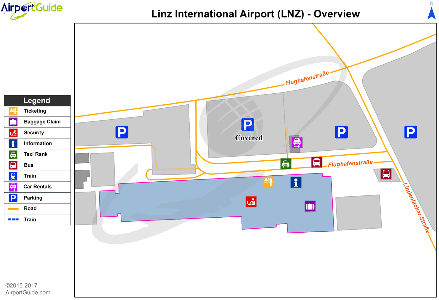
Maps & Diagrams
LNZ Sectional
Flight Planning
at skyvector.com
at skyvector.com
