
Location
Latitude: |
51-53-05.994N (51.884998) |
Longitude: |
0000-14-06E (.235) |
Elevation: |
348 feet MSL (106 m MSL) |
Magnetic Variation: |
0.9 E (as of April 2024 from WMM2020 model) |
Time Zone: |
UTC +0.0 (Standard Time) UTC +1.0 (Daylight Savings Time) |
Contacts
Manager: |
: |
Operations
Airport Status: |
Operational |
Facility Use: |
Public |
Type: |
Airport |
Traffic Pattern Altitude (MSL): |
1348 feet (411 m) |
Based Aircraft
Annual Operations (as of )
Communications
| TWR: | 123.8 |
| CLNC DEL: | 121.95 |
| GND: | 121.725 |
| Stansted Radar: | 120.625 |
| ATIS: | 127.175 |
| DIRECTOR: | 136.2 |
| Director: | 136.2 |
| HOUSTON CNTR: | 126.625 |
Fixed Based Operators (FBOs) & Fuel
(Click on a business for detail)
Please help us keep this information up to date. This is a FREE SERVICE just like everything else on Airport Guide! If you see that a business needs to be added, modified, or deleted please fill out our Update Form.
To add, modify, or delete a business click here.
Please help us keep this information up to date. This is a FREE SERVICE just like everything else on Airport Guide! If you see that a business needs to be added, modified, or deleted please fill out our Update Form.
| Business Name | Frequency | Phone | Fuel Grade |
|---|
Flight Service Stations
| Primary | Alternate | |
| FSS on Field: | ||
| FSS Name (ID): | ||
| Frequency: | ||
| Toll Free Phone: |
Instrument Procedures / Charts
Terminal Procedures are only available for airports in several countries with more being added all the time. If you are looking for a specific country's charts, please send an email to support(at)airportguide.com stating the country name. This will be used to prioritize the implementation.
Navigation Aids (Navaids) near STN
| Dist (NM) | ID | Morse Code | Name | Type | Freq | True Hdg | Mag Hdg |
|---|---|---|---|---|---|---|---|
| 0.7 | SSD | Stansted | NDB | 429 | 32 | 31 | |
| 9.0 | BKY | Barkway | VOR-DME | 116.25 | 314 | 313 | |
| 14.7 | LAM | Lambourne | VOR-DME | 115.60 | 192 | 191 | |
| 15.1 | BPK | Brookmans Park | VOR-DME | 117.50 | 237 | 236 | |
| 19.6 | CAM | Cambridge | NDB | 333 | 354 | 353 | |
| 22.1 | BOU | Bourn | NDB | 392 | 332 | 331 | |
| 23.7 | LCY | City | NDB | 322 | 195 | 194 | |
| 29.7 | WTZ | Wattisham | TACAN | 109.30 | 61 | 60 | |
| 30.2 | MLD | Mildenhall | TACAN | 115.90 | 17 | 16 | |
| 30.6 | BNN | Bovingdon | VOR-DME | 113.75 | 252 | 251 | |
| 32.1 | CHT | Chiltern | NDB | 277 | 240 | 239 | |
| 33.3 | CFD | Cranfield | VOR | 116.50 | 290 | 289 | |
| 33.3 | LKH | Lakenheath | TACAN | 110.20 | 20 | 19 | |
| 33.4 | RCH | Rochester | NDB | 369 | 162 | 161 | |
| 33.9 | CLN | Clacton | VOR-DME | 114.55 | 93 | 92 | |
| 34.1 | BIG | Biggin | VOR-DME | 115.10 | 192 | 191 | |
| 35.4 | LON | London | VOR-DME | 113.60 | 227 | 226 | |
| 37.4 | DET | Detling | VOR-DME | 117.30 | 158 | 157 | |
| 38.8 | HEN | Henton | NDB | 434 | 259 | 258 | |
| 40.4 | BUR | Burnham | NDB | 421 | 237 | 236 |
Nearby Airports with Fuel
| Dist (NM) | Name (Airport IDs) | True Hdg | Mag Hdg | Fuel Grade |
|---|---|---|---|---|
| 23.7 | London City Airport (LCY EGLC) |
196 | 195 | MOGAS |
| 50.6 | Bicester Airfield Airport (EGDD) |
272 | 272 | AVGAS 100LL |
Notices to Airmen (NOTAMS)
Remarks
No remarks for this landing facility
Runways
Runway Summary
| Runways: | 04/22 |
| Longest Runway: | 04/22 is 10003 ft (3049 m) long |
| Runways with an Instrument Approach: |
STN Airport Runway Details
| Runway 04/22 | 10003 ft x 151 ft (3049 m x 46 m) | |
| Runway Edge Lights: | Yes Intensity | |
Runway 04 |
Runway 22 |
|
Elevation: |
324 | 348 |
Latitude: |
51.87509918212 | 51.89519882202 |
Longitude: |
0.2199250012636 | 0.2500439882278 |
|
Runway True Alignment: |
44 | 224 |
Glide Path Angle: |
0.0 degrees | 0.0 degrees |
REIL: |
Yes | Yes |
Threshold Elevation: |
324 | 348 |
Services
Fuel Available: |
AVGAS 100LL |
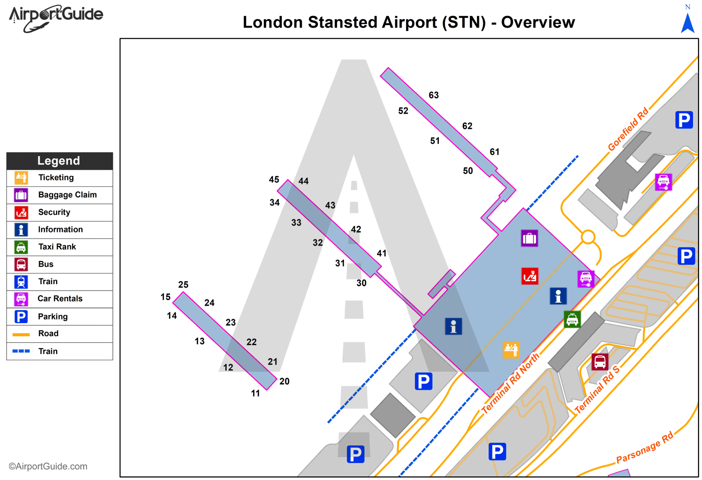
Maps & Diagrams
STN Sectional
Flight Planning
at skyvector.com
at skyvector.com
