
Location
Latitude: |
48-10-12.7213N (48.1702) |
Longitude: |
017-12-45.7196E (17.2127) |
Elevation: |
436 feet MSL (133 m MSL) |
Magnetic Variation: |
5.4 E (as of April 2024 from WMM2020 model) |
Time Zone: |
UTC +1.0 (Standard Time) UTC +2.0 (Daylight Savings Time) |
Contacts
Manager: |
: |
Operations
Airport Status: |
Operational |
Facility Use: |
Public |
Type: |
Airport |
Traffic Pattern Altitude (MSL): |
1436 feet (438 m) |
Based Aircraft
Annual Operations (as of )
Communications
| TWR: | 118.3 |
| APP: | 120.9 |
| ATIS: | 128.65 |
Fixed Based Operators (FBOs) & Fuel
(Click on a business for detail)
Please help us keep this information up to date. This is a FREE SERVICE just like everything else on Airport Guide! If you see that a business needs to be added, modified, or deleted please fill out our Update Form.
To add, modify, or delete a business click here.
Please help us keep this information up to date. This is a FREE SERVICE just like everything else on Airport Guide! If you see that a business needs to be added, modified, or deleted please fill out our Update Form.
| Business Name | Frequency | Phone | Fuel Grade |
|---|
Flight Service Stations
| Primary | Alternate | |
| FSS on Field: | ||
| FSS Name (ID): | ||
| Frequency: | ||
| Toll Free Phone: |
Instrument Procedures / Charts
Terminal Procedures are only available for airports in several countries with more being added all the time. If you are looking for a specific country's charts, please send an email to support(at)airportguide.com stating the country name. This will be used to prioritize the implementation.
Navigation Aids (Navaids) near BTS
| Dist (NM) | ID | Morse Code | Name | Type | Freq | True Hdg | Mag Hdg |
|---|---|---|---|---|---|---|---|
| 0.6 | OKR | Stefanik | DME | 108.30 | 51 | 46 | |
| 1.4 | D | David | NDB | 429 | 44 | 39 | |
| 1.7 | B | Barka | NDB | 438 | 134 | 129 | |
| 4.5 | OKR | Stefanik North | NDB | 391 | 43 | 38 | |
| 4.8 | OB | Stefanik South | NDB | 330 | 134 | 129 | |
| 13.3 | JAN | Janovce | VOR-DME | 110.80 | 87 | 82 | |
| 18.4 | RP | Malacky | NDB | 477 | 352 | 347 | |
| 20.9 | BRK | Bruck | NDB | 408 | 252 | 247 | |
| 23.7 | FMD | Fischamend | VOR-DME | 110.40 | 260 | 255 | |
| 30.3 | WO | Schwechat | NDB | 303 | 267 | 262 | |
| 30.3 | WGM | Wagram | VOR-DME | 112.20 | 288 | 283 | |
| 33.8 | CN | Piestany | NDB | 453 | 44 | 39 | |
| 34.3 | NIT | Nitra | VOR-DME | 116.50 | 77 | 72 | |
| 34.4 | NIT | Nitra | NDB | 398 | 76 | 71 | |
| 35.8 | PNY | Centr | NDB | 297 | 42 | 37 | |
| 36.7 | GYR | Gyor | NDB | 354 | 146 | 141 | |
| 36.9 | GYR | Gyor | VOR-DME | 115.10 | 145 | 140 | |
| 38.7 | STE | Steinhof | NDB | 293 | 273 | 268 | |
| 41.1 | SNU | Sollenau | VOR-DME | 115.50 | 244 | 239 | |
| 42.3 | TF | Wierner Neustadt East | NDB | 315 | 242 | 237 |
Nearby Airports with Fuel
| Dist (NM) | Name (Airport IDs) | True Hdg | Mag Hdg | Fuel Grade |
|---|---|---|---|---|
| 36.7 | Piešťany Airport (PZY LZPP) |
41 | 35 | Jet A1 |
| 84.4 | Žilina Airport (ILZ LZZI) |
40 | 34 | 100LL AvGas, Jet A1 |
Notices to Airmen (NOTAMS)
Remarks
No remarks for this landing facility
Runways
Runway Summary
| Runways: | 04/22 13/31 |
| Longest Runway: | 13/31 is 10466 ft (3190 m) long |
| Runways with an Instrument Approach: |
BTS Airport Runway Details
| Runway 04/22 | 9515 ft x 197 ft (2900 m x 60 m) | |
| Runway Edge Lights: | Yes Intensity | |
Runway 04 |
Runway 22 |
|
Elevation: |
436 | 430 |
Latitude: |
48.16080093383 | 48.17959976196 |
Longitude: |
17.199399948120 | 17.226499557495 |
|
Runway True Alignment: |
44 | 224 |
Glide Path Angle: |
0.0 degrees | 0.0 degrees |
REIL: |
Yes | Yes |
Threshold Elevation: |
436 | 430 |
| Runway 13/31 | 10466 ft x 148 ft (3190 m x 45 m) | |
| Runway Edge Lights: | Yes Intensity | |
Runway 13 |
Runway 31 |
|
Elevation: |
433 | 434 |
Latitude: |
48.17570114135 | 48.15579986572 |
Longitude: |
17.204000473022 | 17.234800338745 |
|
Runway True Alignment: |
134 | 314 |
Glide Path Angle: |
0.0 degrees | 0.0 degrees |
REIL: |
Yes | Yes |
Threshold Elevation: |
433 | 434 |
Displaced Threshold: |
777 |
Services
Fuel Available: |
100LL AvGas, Jet A1 |
Other Services: |
Full ground, passenger and cargo handling |
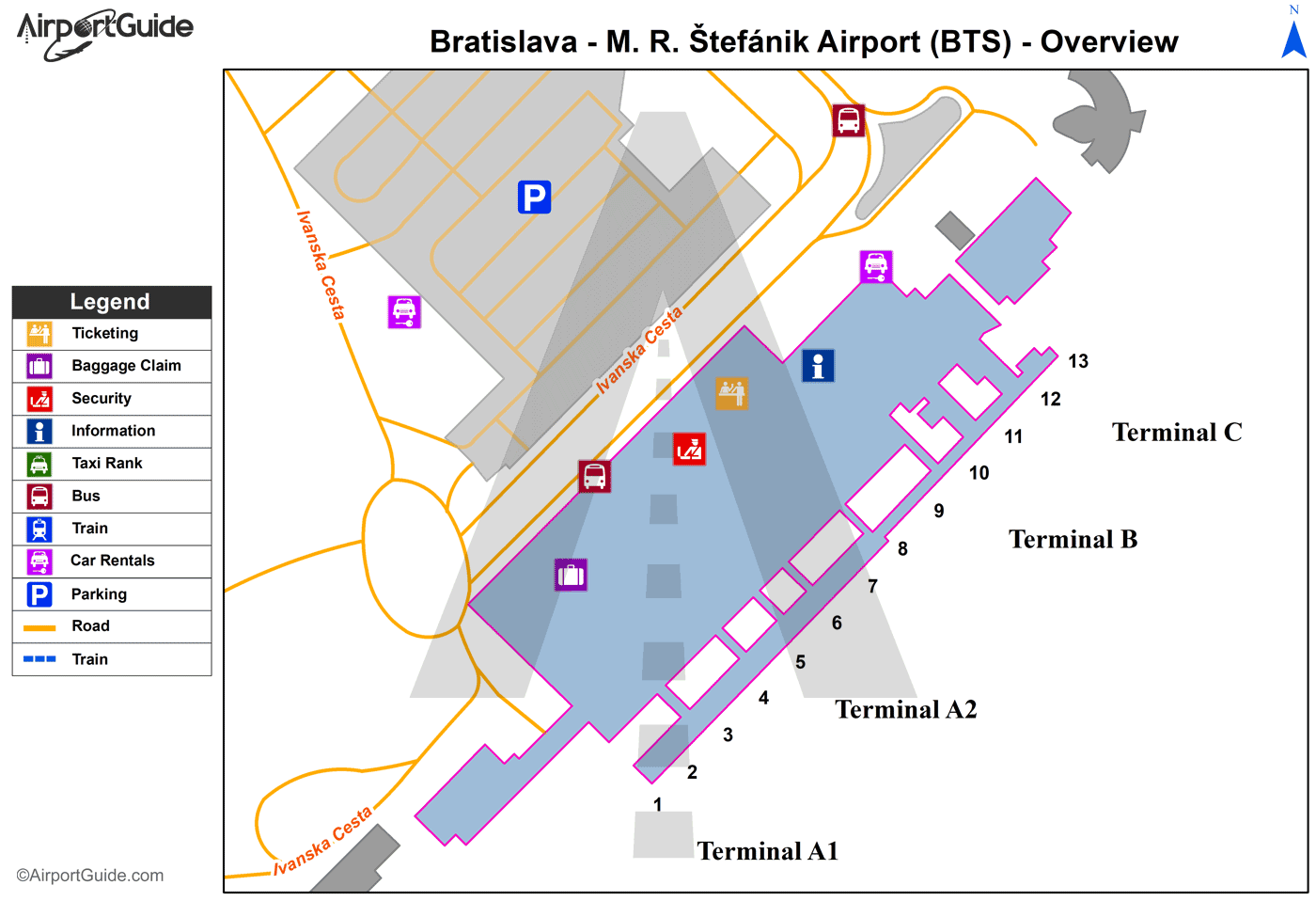
Maps & Diagrams
BTS Sectional
Flight Planning
at skyvector.com
at skyvector.com
