
Location
Latitude: |
48-43-23.9999N (48.7253) |
Longitude: |
002-22-45.9998E (2.35944) |
Elevation: |
291 feet MSL (89 m MSL) |
Magnetic Variation: |
1.8 E (as of April 2024 from WMM2020 model) |
Time Zone: |
UTC +1.0 (Standard Time) UTC +2.0 (Daylight Savings Time) |
Contacts
Manager: |
: |
Operations
Airport Status: |
Operational |
Facility Use: |
Public |
Type: |
Airport |
Traffic Pattern Altitude (MSL): |
1291 feet (393 m) |
Based Aircraft
Annual Operations (as of )
Communications
| TWR: | 118.7 |
| GND: | 121.7 |
| APP: | 123.875 |
| DEP: | 127.75 |
| ATIS: | 131.35 |
| PREFLIGHT: | 121.05 |
Fixed Based Operators (FBOs) & Fuel
(Click on a business for detail)
Please help us keep this information up to date. This is a FREE SERVICE just like everything else on Airport Guide! If you see that a business needs to be added, modified, or deleted please fill out our Update Form.
To add, modify, or delete a business click here.
Please help us keep this information up to date. This is a FREE SERVICE just like everything else on Airport Guide! If you see that a business needs to be added, modified, or deleted please fill out our Update Form.
| Business Name | Frequency | Phone | Fuel Grade |
|---|
Flight Service Stations
| Primary | Alternate | |
| FSS on Field: | ||
| FSS Name (ID): | ||
| Frequency: | ||
| Toll Free Phone: |
Instrument Procedures / Charts
Terminal Procedures are only available for airports in several countries with more being added all the time. If you are looking for a specific country's charts, please send an email to support(at)airportguide.com stating the country name. This will be used to prioritize the implementation.
Navigation Aids (Navaids) near ORY
| Dist (NM) | ID | Morse Code | Name | Type | Freq | True Hdg | Mag Hdg |
|---|---|---|---|---|---|---|---|
| 1.1 | OL | Orly | VOR-DME | 111.20 | 75 | 73 | |
| 3.3 | TH | Villacoublay | NDB | 302 | 13 | 11 | |
| 10.3 | TSU | Toussus | VOR | 108.25 | 279 | 277 | |
| 10.7 | TA | Villacoublay | NDB | 287 | 285 | 283 | |
| 15.1 | RBT | Rambouillet | VOR-DME | 114.70 | 253 | 251 | |
| 15.4 | BT | Le Bourget | VOR-DME | 116.10 | 14 | 12 | |
| 18.5 | CGN | Charles de Gaulle | VOR-DME | 115.35 | 17 | 15 | |
| 19.5 | PGS | Charles de Gaulle | VOR-DME | 117.05 | 32 | 30 | |
| 21.3 | HOL | Villacoublay | NDB | 315 | 271 | 269 | |
| 24.2 | MLN | Melun | VOR-DME | 113.60 | 131 | 129 | |
| 25.6 | PON | Pontoise | VOR | 111.60 | 330 | 328 | |
| 26.8 | CLM | Coulommiers | VOR-DME | 112.90 | 74 | 72 | |
| 28.5 | EPR | Epernon | VOR-DME | 115.65 | 258 | 256 | |
| 32.4 | CRL | Creil | VORTAC | 109.20 | 10 | 8 | |
| 34.4 | PTV | Pithiviers | VOR | 116.50 | 186 | 184 | |
| 39.1 | BSN | Boursonne | VOR-DME | 114.85 | 44 | 42 | |
| 41.8 | BRY | Bray-sur-Seine | VOR-DME | 114.10 | 116 | 114 | |
| 43.4 | BVS | Beauvais | VOR | 115.90 | 349 | 347 | |
| 45.8 | CPE | Compiègne | VOR-DME | 109.65 | 21 | 19 | |
| 48.5 | EVX | Evreux | VORTAC | 112.40 | 292 | 290 |
Nearby Airports with Fuel
| Dist (NM) | Name (Airport IDs) | True Hdg | Mag Hdg | Fuel Grade |
|---|
Notices to Airmen (NOTAMS)
Remarks
No remarks for this landing facility
Runways
Runway Summary
| Runways: | 02/20 06/24 07/25 |
| Longest Runway: | 06/24 is 11975 ft (3650 m) long |
| Runways with an Instrument Approach: |
ORY Airport Runway Details
| Runway 02/20 | 7874 ft x 197 ft (2400 m x 60 m) | |
| Runway Edge Lights: | Yes Intensity | |
Runway 02 |
Runway 20 |
|
Elevation: |
287 | 287 |
Latitude: |
48.71749877929 | 48.73799896240 |
Longitude: |
2.3766999244689 | 2.3869700431823 |
|
Runway True Alignment: |
18 | 198 |
Glide Path Angle: |
0.0 degrees | 0.0 degrees |
REIL: |
Yes | Yes |
Threshold Elevation: |
287 | 287 |
| Runway 06/24 | 11975 ft x 148 ft (3650 m x 45 m) | |
| Runway Edge Lights: | Yes Intensity | |
Runway 06 |
Runway 24 |
|
Elevation: |
283 | 284 |
Latitude: |
48.72000122070 | 48.73550033569 |
Longitude: |
2.3169200420379 | 2.3606801033020 |
|
Runway True Alignment: |
62 | 242 |
Glide Path Angle: |
0.0 degrees | 0.0 degrees |
REIL: |
Yes | Yes |
Threshold Elevation: |
283 | 284 |
Displaced Threshold: |
984 |
| Runway 07/25 | 10892 ft x 148 ft (3320 m x 45 m) | |
| Runway Edge Lights: | Yes Intensity | |
Runway 07 |
Runway 25 |
|
Elevation: |
277 | 287 |
Latitude: |
48.71939849853 | 48.72740173339 |
Longitude: |
2.3585898876190 | 2.4020700454711 |
|
Runway True Alignment: |
74 | 254 |
Glide Path Angle: |
0.0 degrees | 0.0 degrees |
REIL: |
Yes | Yes |
Threshold Elevation: |
277 | 287 |
Displaced Threshold: |
1427 |
Services
Maps & Diagrams
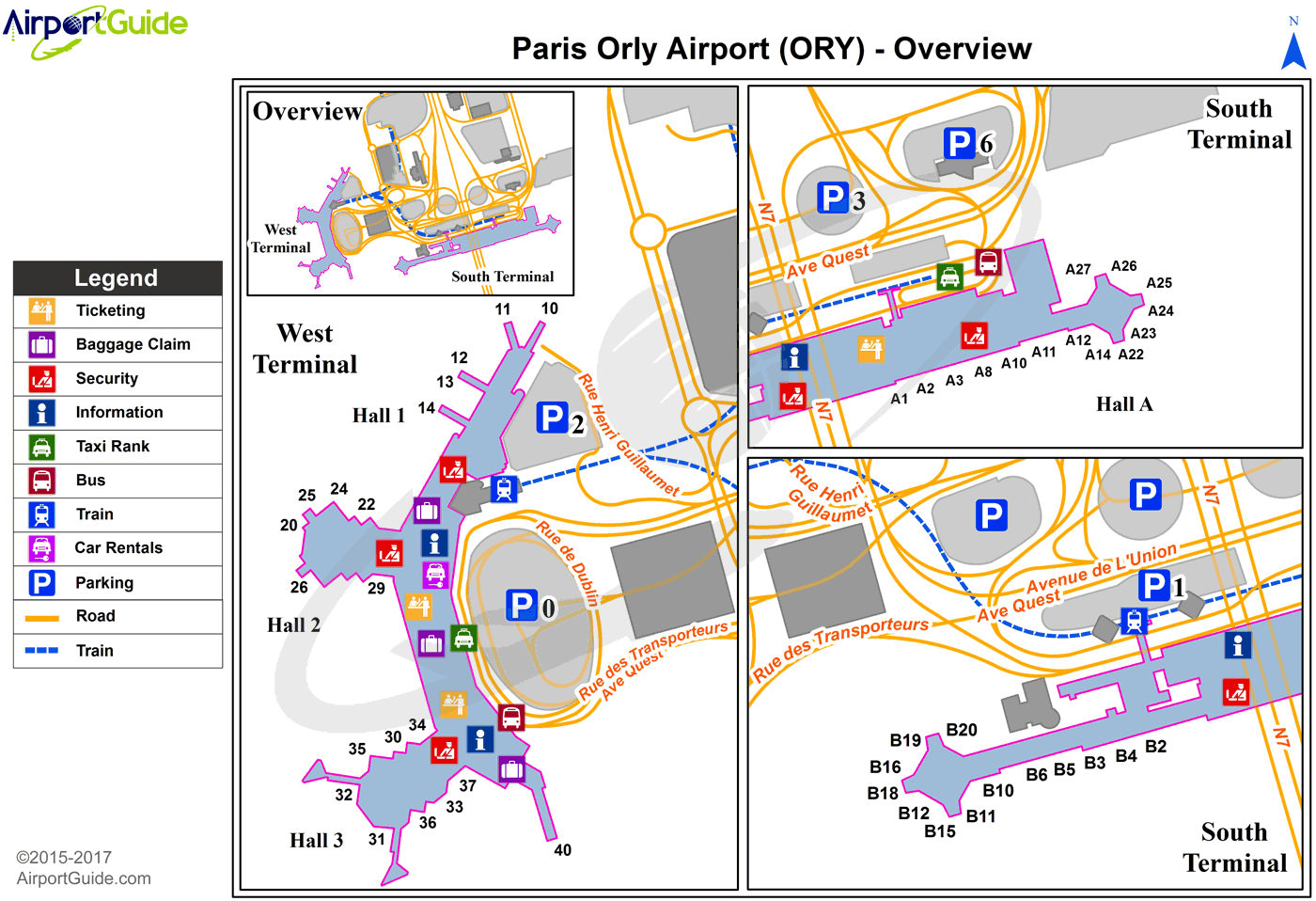
ORY Sectional
Flight Planning
at skyvector.com
at skyvector.com
