
Location
Latitude: |
40-51-21.2393N (40.8559) |
Longitude: |
025-57-22.6826E (25.956301) |
Elevation: |
24 feet MSL (7 m MSL) |
Magnetic Variation: |
5.8 E (as of April 2024 from WMM2020 model) |
Time Zone: |
UTC +2.0 (Standard Time) UTC +3.0 (Daylight Savings Time) |
Contacts
Manager: |
: |
Operations
Airport Status: |
Operational |
Facility Use: |
Public |
Type: |
Airport |
Traffic Pattern Altitude (MSL): |
1024 feet (312 m) |
Based Aircraft
Annual Operations (as of )
Communications
| ALEXANDROUPOLIS RDO: | 563.7 |
| ALEXANDROUPOLIS TWR: | 123.8 |
| ALEXANDROUPOLIS APP: | 123.8 |
Fixed Based Operators (FBOs) & Fuel
(Click on a business for detail)
Please help us keep this information up to date. This is a FREE SERVICE just like everything else on Airport Guide! If you see that a business needs to be added, modified, or deleted please fill out our Update Form.
To add, modify, or delete a business click here.
Please help us keep this information up to date. This is a FREE SERVICE just like everything else on Airport Guide! If you see that a business needs to be added, modified, or deleted please fill out our Update Form.
| Business Name | Frequency | Phone | Fuel Grade |
|---|
Flight Service Stations
| Primary | Alternate | |
| FSS on Field: | ||
| FSS Name (ID): | ||
| Frequency: | ||
| Toll Free Phone: |
Instrument Procedures / Charts
Terminal Procedures are only available for airports in several countries with more being added all the time. If you are looking for a specific country's charts, please send an email to support(at)airportguide.com stating the country name. This will be used to prioritize the implementation.
Navigation Aids (Navaids) near AXD
| Dist (NM) | ID | Morse Code | Name | Type | Freq | True Hdg | Mag Hdg |
|---|---|---|---|---|---|---|---|
| 0.1 | ALX | Alexandroupolis | VOR-DME | 113.80 | 142 | 136 | |
| 0.6 | ALP | Alexandroupolis | NDB | 351 | 279 | 273 | |
| 48.1 | CNK | Canakkale | NDB | 422 | 152 | 146 | |
| 48.1 | CNK | Canakkale | VOR-DME | 111.20 | 152 | 146 | |
| 60.2 | KHR | Chrisoupolis | NDB | 327 | 274 | 268 | |
| 60.9 | KRP | Kavala | TACAN | 114.30 | 273 | 267 | |
| 61.0 | KPL | Kavala | VOR-DME | 108.80 | 273 | 267 | |
| 64.2 | LMN | Limnos | TACAN | 114.80 | 210 | 204 | |
| 64.6 | LIO | Limnos | NDB | 429 | 210 | 204 | |
| 65.1 | LMO | Limnos | VOR-DME | 109.20 | 210 | 204 | |
| 66.9 | EKI | Tekirdag | VOR-DME | 116.30 | 84 | 78 | |
| 72.8 | BIG | Biga | VOR-DME | 116.90 | 117 | 111 | |
| 86.7 | PDV | Plovdiv | VOR-DME | 114.90 | 326 | 320 | |
| 86.8 | P | Plovdiv | NDB | 537 | 326 | 320 | |
| 89.6 | CLU | Corlu | TACAN | 115.90 | 78 | 72 | |
| 91.5 | CRL | Corlu | NDB | 426 | 78 | 72 | |
| 91.5 | CRL | Corlu | VOR-DME | 114.80 | 78 | 72 | |
| 91.8 | EDR | Edremit | VOR-DME | 109.40 | 147 | 141 | |
| 91.8 | EDR | Edremit | NDB | 368 | 147 | 141 | |
| 98.0 | BDM | Bandirma | TACAN | 111.00 | 109 | 103 |
Nearby Airports with Fuel
| Dist (NM) | Name (Airport IDs) | True Hdg | Mag Hdg | Fuel Grade |
|---|---|---|---|---|
| 73.6 | Amigdhaleon Airport (LGKM) |
276 | 270 | 100LL, Jet-A1 |
Notices to Airmen (NOTAMS)
Remarks
No remarks for this landing facility
Runways
Runway Summary
| Runways: | 07/25 |
| Longest Runway: | 07/25 is 8471 ft (2582 m) long |
| Runways with an Instrument Approach: |
AXD Airport Runway Details
| Runway 07/25 | 8471 ft x 148 ft (2582 m x 45 m) | |
| Runway Edge Lights: | Yes Intensity | |
Runway 07 |
Runway 25 |
|
Elevation: |
10 | 24 |
Latitude: |
40.85250091552 | 40.85919952392 |
Longitude: |
25.941699981689 | 25.970800399780 |
|
Runway True Alignment: |
73 | 253 |
Glide Path Angle: |
0.0 degrees | 0.0 degrees |
REIL: |
Yes | Yes |
Threshold Elevation: |
10 | 24 |
Services
Fuel Available: |
100LL, Jet-A1 |
Other Services: |
- Flight Operations 7 days a week, Sunrise / Sunset plus night (twice a week and upon request). - Unlimited training opportunities for ATOs within the currently expanded aerodrome ATZ, Kavala TMA and neighbor Training Areas - General Aviation A/C Cross Service / Maintenance / Hangarage. |
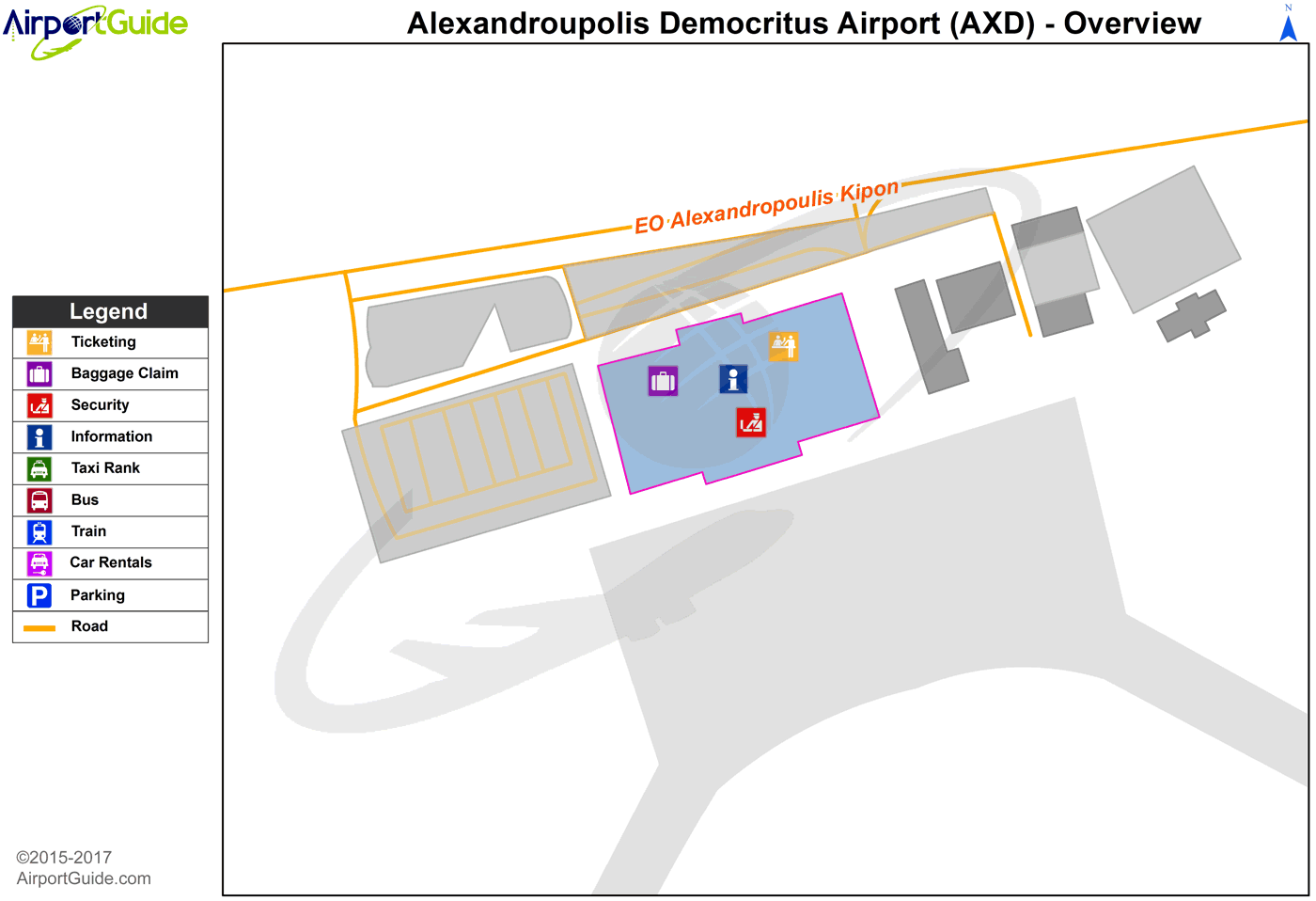
Maps & Diagrams
AXD Sectional
Flight Planning
at skyvector.com
at skyvector.com
