
Location
Latitude: |
16-53-08.8779S (-16.885799) |
Longitude: |
145-45-18.0176E (145.755005) |
Elevation: |
10 feet MSL (3 m MSL) |
Magnetic Variation: |
6.6 E (as of April 2024 from WMM2020 model) |
Time Zone: |
UTC +10.0 (Standard Time) UTC +10.0 (Daylight Savings Time) |
Contacts
Manager: |
: |
Operations
Airport Status: |
Operational |
Facility Use: |
Public |
Type: |
Airport |
Traffic Pattern Altitude (MSL): |
1010 feet (308 m) |
Based Aircraft
Annual Operations (as of )
Communications
| TWR: | 124.9 |
| CLNC DEL: | 121.7 |
| GND: | 121.7 |
| APP/DEP: | 118.4 |
| ATIS: | 113 |
Fixed Based Operators (FBOs) & Fuel
(Click on a business for detail)
Please help us keep this information up to date. This is a FREE SERVICE just like everything else on Airport Guide! If you see that a business needs to be added, modified, or deleted please fill out our Update Form.
To add, modify, or delete a business click here.
Please help us keep this information up to date. This is a FREE SERVICE just like everything else on Airport Guide! If you see that a business needs to be added, modified, or deleted please fill out our Update Form.
| Business Name | Frequency | Phone | Fuel Grade |
|---|
Flight Service Stations
| Primary | Alternate | |
| FSS on Field: | ||
| FSS Name (ID): | ||
| Frequency: | ||
| Toll Free Phone: |
Instrument Procedures / Charts
Terminal Procedures are only available for airports in several countries with more being added all the time. If you are looking for a specific country's charts, please send an email to support(at)airportguide.com stating the country name. This will be used to prioritize the implementation.
Navigation Aids (Navaids) near CNS
| Dist (NM) | ID | Morse Code | Name | Type | Freq | True Hdg | Mag Hdg |
|---|---|---|---|---|---|---|---|
| 2.2 | CS | Cairns | VOR-DME | 113.00 | 343 | 336 | |
| 2.6 | CS | Cairns | NDB | 364 | 334 | 327 | |
| 19.8 | BIB | Biboohra | VOR | 112.30 | 264 | 257 | |
| 43.2 | IFL | Innisfail | NDB | 212 | 159 | 152 | |
| 89.2 | CKN | Cooktown | NDB | 260 | 340 | 334 |
Nearby Airports with Fuel
| Dist (NM) | Name (Airport IDs) | True Hdg | Mag Hdg | Fuel Grade |
|---|
Notices to Airmen (NOTAMS)
Remarks
No remarks for this landing facility
Runways
Runway Summary
| Runways: | [X] 12/30 15/33 |
| Longest Runway: | 15/33 is 10489 ft (3197 m) long |
| Runways with an Instrument Approach: |
CNS Airport Runway Details
| Runway [X] 12/30 | 3035 ft x 60 ft (925 m x 18 m) | |
Runway [X] 12 |
Runway [X] 30 |
|
Elevation: |
9 | 6 |
Latitude: |
-16.8806991577 | -16.8854999542 |
Longitude: |
145.75199890136 | 145.75900268554 |
|
Runway True Alignment: |
126 | 306 |
Glide Path Angle: |
0.0 degrees | 0.0 degrees |
Threshold Elevation: |
9 | 6 |
| Runway 15/33 | 10489 ft x 148 ft (3197 m x 45 m) | |
| Runway Edge Lights: | Yes Intensity | |
Runway 15 |
Runway 33 |
|
Elevation: |
9 | 7 |
Latitude: |
-16.8658008575 | -16.8922996520 |
Longitude: |
145.74400329589 | 145.75599670410 |
|
Runway True Alignment: |
156 | 336 |
Glide Path Angle: |
0.0 degrees | 0.0 degrees |
REIL: |
Yes | Yes |
Threshold Elevation: |
9 | 7 |
Services
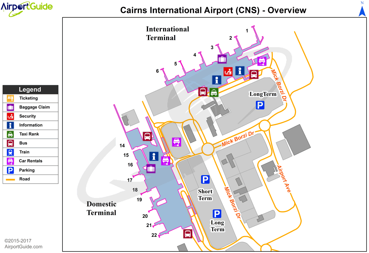
Maps & Diagrams
CNS Sectional
Flight Planning
at skyvector.com
at skyvector.com
