
Location
Latitude: |
55-37-04.4431N (55.617901) |
Longitude: |
012-39-21.6005E (12.656) |
Elevation: |
17 feet MSL (5 m MSL) |
Magnetic Variation: |
5 E (as of April 2024 from WMM2020 model) |
Time Zone: |
UTC +1.0 (Standard Time) UTC +2.0 (Daylight Savings Time) |
Contacts
Manager: |
: |
Operations
Airport Status: |
Operational |
Facility Use: |
Public |
Type: |
Airport |
Traffic Pattern Altitude (MSL): |
1017 feet (310 m) |
Based Aircraft
Annual Operations (as of )
Communications
| Kastrup Tower: | 121.825 |
| Kastrup Tower: | 119.35 |
| Kastrup Tower: | 118.7 |
| Kastrup Arrival Information: | 122.75 |
| Kastrup Departure Information: | 122.85 |
| Kastrup Tower: | 118.575 |
| Kastrup Tower: | 118.1 |
| Kastrup Clearance Delivery: | 119.9 |
| Kastrup Apron: | 121.9 |
| Kastrup Apron: | 121.725 |
| Kastrup Apron: | 121.625 |
| Copenhagen Approach: | 119.8 |
| Kastrup Departure: | 124.975 |
| Kastrup Departure: | 120.25 |
| Kastrup Final: | 120.2 |
| Kastrup Arrival: | 118.45 |
Fixed Based Operators (FBOs) & Fuel
(Click on a business for detail)
Please help us keep this information up to date. This is a FREE SERVICE just like everything else on Airport Guide! If you see that a business needs to be added, modified, or deleted please fill out our Update Form.
To add, modify, or delete a business click here.
Please help us keep this information up to date. This is a FREE SERVICE just like everything else on Airport Guide! If you see that a business needs to be added, modified, or deleted please fill out our Update Form.
| Business Name | Frequency | Phone | Fuel Grade |
|---|
Flight Service Stations
| Primary | Alternate | |
| FSS on Field: | ||
| FSS Name (ID): | ||
| Frequency: | ||
| Toll Free Phone: |
Instrument Procedures / Charts
Terminal Procedures are only available for airports in several countries with more being added all the time. If you are looking for a specific country's charts, please send an email to support(at)airportguide.com stating the country name. This will be used to prioritize the implementation.
Navigation Aids (Navaids) near CPH
| Dist (NM) | ID | Morse Code | Name | Type | Freq | True Hdg | Mag Hdg |
|---|---|---|---|---|---|---|---|
| 2.2 | KAS | Kastrup | VOR-DME | 112.50 | 221 | 216 | |
| 22.3 | RK | Roskilde | NDB | 368 | 271 | 266 | |
| 23.9 | NS | Sturup | NDB | 351 | 90 | 85 | |
| 25.0 | SUP | Sturup | VOR-DME | 113.00 | 101 | 96 | |
| 26.7 | SS | Sturup | NDB | 420 | 110 | 105 | |
| 33.0 | ALM | Alma | VOR | 116.40 | 111 | 106 | |
| 33.2 | SVD | Sveda | VOR-DME | 116.20 | 355 | 350 | |
| 33.4 | LJU | Ljungbyhed | VOR-DME | 113.40 | 33 | 28 | |
| 36.4 | KOR | Korsa | VOR-DME | 112.80 | 253 | 248 | |
| 37.0 | VEY | Vedby | VOR | 116.90 | 30 | 25 | |
| 38.2 | CDA | Codan | VOR-DME | 114.90 | 194 | 189 | |
| 42.2 | TNO | Trano | VOR-DME | 117.40 | 283 | 278 | |
| 53.6 | OEM | Kristianstad | NDB | 363 | 64 | 59 | |
| 67.9 | ODN | Odin | VOR-DME | 115.50 | 268 | 263 | |
| 69.5 | TRT | Trent | VOR-DME | 108.45 | 162 | 157 | |
| 74.9 | TU | Aarhus | NDB | 374 | 303 | 298 | |
| 76.7 | BHD | Barth | DME | 115.40 | 178 | 173 | |
| 76.8 | BTH | Barth | NDB | 373 | 179 | 174 | |
| 79.0 | ROE | Ronne | VOR-DME | 112.00 | 113 | 108 | |
| 79.0 | ROE | Ronne | TACAN | 112.00 | 114 | 109 |
Nearby Airports with Fuel
| Dist (NM) | Name (Airport IDs) | True Hdg | Mag Hdg | Fuel Grade |
|---|
Notices to Airmen (NOTAMS)
Remarks
No remarks for this landing facility
Runways
Runway Summary
| Runways: | 04L/22R 04R/22L 12/30 |
| Longest Runway: | 04L/22R is 11811 ft (3600 m) long |
| Runways with an Instrument Approach: |
CPH Airport Runway Details
| Runway 04L/22R | 11811 ft x 148 ft (3600 m x 45 m) | |
| Runway Edge Lights: | Yes Intensity | |
Runway 04L |
Runway 22R |
|
Elevation: |
13 | 14 |
Latitude: |
55.592201 | 55.616543 |
Longitude: |
12.603536 | 12.641174 |
|
Runway True Alignment: |
41 | 221 |
Glide Path Angle: |
0.0 degrees | 0.0 degrees |
REIL: |
Yes | Yes |
Threshold Elevation: |
13 | 14 |
Displaced Threshold: |
1967 |
| Runway 04R/22L | 10827 ft x 148 ft (3300 m x 45 m) | |
| Runway Edge Lights: | Yes Intensity | |
Runway 04R |
Runway 22L |
|
Elevation: |
12 | 8 |
Latitude: |
55.60309982299 | 55.62540054321 |
Longitude: |
12.633000373840 | 12.667599678039 |
|
Runway True Alignment: |
41 | 221 |
Glide Path Angle: |
0.0 degrees | 0.0 degrees |
REIL: |
Yes | Yes |
Threshold Elevation: |
12 | 8 |
| Runway 12/30 | 9186 ft x 148 ft (2800 m x 45 m) | |
| Runway Edge Lights: | Yes Intensity | |
Runway 12 |
Runway 30 |
|
Elevation: |
13 | 8 |
Latitude: |
55.626293 | 55.612522 |
Longitude: |
12.633331 | 12.670532 |
|
Runway True Alignment: |
123 | 303 |
Glide Path Angle: |
0.0 degrees | 0.0 degrees |
REIL: |
Yes | Yes |
Threshold Elevation: |
13 | 8 |
Displaced Threshold: |
2313 | 886 |
Services
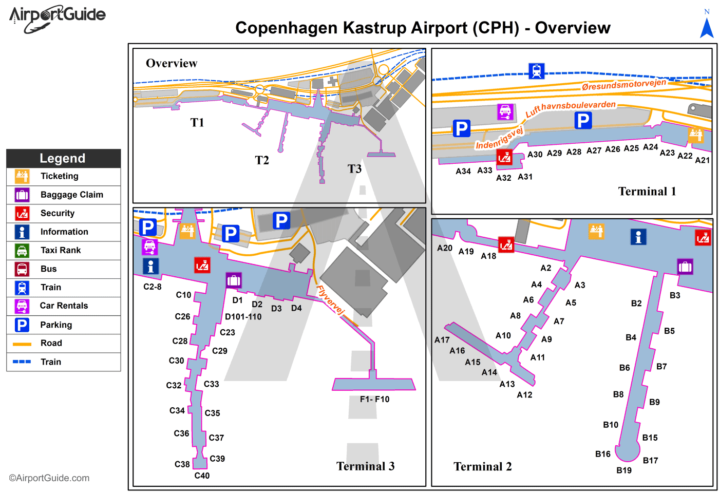
Maps & Diagrams
CPH Sectional
Flight Planning
at skyvector.com
at skyvector.com
