
Location
Latitude: |
53-54-37.0844N (53.910301) |
Longitude: |
008-49-06.5641W (-8.81849) |
Elevation: |
665 feet MSL (203 m MSL) |
Magnetic Variation: |
2.7 W (as of April 2024 from WMM2020 model) |
Time Zone: |
UTC +0.0 (Standard Time) UTC +1.0 (Daylight Savings Time) |
Contacts
Manager: |
: |
Operations
Airport Status: |
Operational |
Facility Use: |
Public |
Type: |
Airport |
Traffic Pattern Altitude (MSL): |
1665 feet (507 m) |
Based Aircraft
Annual Operations (as of )
Communications
| TWR: | 130.7 |
| GND: | 121.9 |
Fixed Based Operators (FBOs) & Fuel
(Click on a business for detail)
Please help us keep this information up to date. This is a FREE SERVICE just like everything else on Airport Guide! If you see that a business needs to be added, modified, or deleted please fill out our Update Form.
To add, modify, or delete a business click here.
Please help us keep this information up to date. This is a FREE SERVICE just like everything else on Airport Guide! If you see that a business needs to be added, modified, or deleted please fill out our Update Form.
| Business Name | Frequency | Phone | Fuel Grade |
|---|
Flight Service Stations
| Primary | Alternate | |
| FSS on Field: | ||
| FSS Name (ID): | ||
| Frequency: | ||
| Toll Free Phone: |
Instrument Procedures / Charts
Terminal Procedures are only available for airports in several countries with more being added all the time. If you are looking for a specific country's charts, please send an email to support(at)airportguide.com stating the country name. This will be used to prioritize the implementation.
Navigation Aids (Navaids) near NOC
| Dist (NM) | ID | Morse Code | Name | Type | Freq | True Hdg | Mag Hdg |
|---|---|---|---|---|---|---|---|
| 0.1 | CON | Connaught | VOR-DME | 117.40 | 202 | 205 | |
| 4.3 | KNK | Connaught | NDB | 364 | 258 | 261 | |
| 4.3 | OK | Connaught | NDB | 398 | 78 | 81 | |
| 23.5 | SLG | Sligo | NDB-DME | 384 | 19 | 22 | |
| 36.9 | CRN | Galway | NDB | 342 | 186 | 189 | |
| 50.3 | EKN | Enniskillen | DME | 116.75 | 53 | 56 | |
| 50.5 | EKN | Enniskillen | NDB | 358 | 54 | 57 | |
| 60.4 | ENS | Ennis | NDB | 352 | 183 | 186 | |
| 70.0 | CFN | Donegal | NDB | 361 | 13 | 16 | |
| 71.4 | SHA | Shannon | VOR-DME | 113.30 | 181 | 184 | |
| 81.8 | FOY | Foynes | NDB | 395 | 189 | 192 | |
| 87.2 | GAR | Garristown | NDB | 407 | 104 | 106 | |
| 89.2 | WST | Weston | VOR-DME | 114.70 | 111 | 113 | |
| 89.7 | OE | Dublin | NDB | 316 | 107 | 109 | |
| 92.0 | BAL | Baldonnel | VOR-DME | 115.80 | 112 | 114 | |
| 92.5 | DUB | Dublin | VOR-DME | 114.90 | 104 | 106 | |
| 93.2 | GMN | Gormanston | NDB-DME | 334 | 98 | 100 | |
| 93.4 | BKL | Ballykelly | TACAN | 109.15 | 41 | 43 | |
| 94.1 | DAP | Dublin | VOR-DME | 111.20 | 107 | 109 | |
| 95.2 | ID | Dublin | DME | 108.90 | 106 | 108 |
Nearby Airports with Fuel
| Dist (NM) | Name (Airport IDs) | True Hdg | Mag Hdg | Fuel Grade |
|---|
Notices to Airmen (NOTAMS)
Remarks
No remarks for this landing facility
Runways
Runway Summary
| Runways: | 08/26 |
| Longest Runway: | 08/26 is 7546 ft (2300 m) long |
| Runways with an Instrument Approach: |
NOC Airport Runway Details
| Runway 08/26 | 7546 ft x 148 ft (2300 m x 45 m) | |
| Runway Edge Lights: | Yes Intensity | |
Runway 08 |
Runway 26 |
|
Elevation: |
592 | 665 |
Latitude: |
53.90829849243 | 53.91230010986 |
Longitude: |
-8.835650444030 | -8.801329612731 |
|
Runway True Alignment: |
79 | 259 |
Glide Path Angle: |
0.0 degrees | 0.0 degrees |
REIL: |
Yes | Yes |
Threshold Elevation: |
592 | 665 |
Displaced Threshold: |
502 |
Services
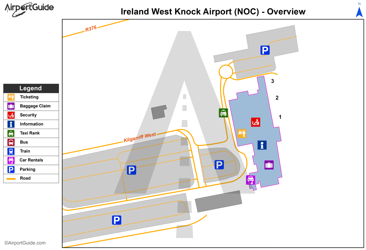
Maps & Diagrams
NOC Sectional
Flight Planning
at skyvector.com
at skyvector.com
