
Location
Latitude: |
50-54-05.0455N (50.901402) |
Longitude: |
004-29-03.9835E (4.48444) |
Elevation: |
184 feet MSL (56 m MSL) |
Magnetic Variation: |
2.3 E (as of April 2024 from WMM2020 model) |
Time Zone: |
UTC +1.0 (Standard Time) UTC +2.0 (Daylight Savings Time) |
Contacts
Manager: |
: |
Operations
Airport Status: |
Operational |
Facility Use: |
Public |
Type: |
Airport |
Traffic Pattern Altitude (MSL): |
1184 feet (361 m) |
Based Aircraft
Annual Operations (as of )
Communications
| ABELAG UNICOM: | 130.55 |
| TWR (RWY 07L/25R or 19): | 120.78 |
| TWR (RWY 07R/25L and 01): | 118.605 |
| CLNC DEL: | 121.95 |
| GND South: | 121.88 |
| GND North: | 118.055 |
| APP: | 118.255 |
| DEP: | 126.63 |
| ATIS DEP: | 121.755 |
| ATIS ARR: | 132.475 |
| MELSBROEK OPS: | 140.575 |
Fixed Based Operators (FBOs) & Fuel
(Click on a business for detail)
Please help us keep this information up to date. This is a FREE SERVICE just like everything else on Airport Guide! If you see that a business needs to be added, modified, or deleted please fill out our Update Form.
To add, modify, or delete a business click here.
Please help us keep this information up to date. This is a FREE SERVICE just like everything else on Airport Guide! If you see that a business needs to be added, modified, or deleted please fill out our Update Form.
| Business Name | Frequency | Phone | Fuel Grade |
|---|---|---|---|
| Aviapartner
Website Update FBO info |
131.90 | Phone : +33 5 46 42 86 70 |
Flight Service Stations
| Primary | Alternate | |
| FSS on Field: | ||
| FSS Name (ID): | ||
| Frequency: | ||
| Toll Free Phone: |
Instrument Procedures / Charts
Terminal Procedures are only available for airports in several countries with more being added all the time. If you are looking for a specific country's charts, please send an email to support(at)airportguide.com stating the country name. This will be used to prioritize the implementation.
Navigation Aids (Navaids) near BRU
| Dist (NM) | ID | Morse Code | Name | Type | Freq | True Hdg | Mag Hdg |
|---|---|---|---|---|---|---|---|
| 2.0 | BUB | Brussels | VOR-DME | 114.60 | 88 | 86 | |
| 4.5 | OZ | Brussels | NDB | 314 | 188 | 186 | |
| 5.1 | OB | Brussels | NDB | 293 | 77 | 75 | |
| 10.9 | HUL | Huldenberg | VOR-DME | 117.55 | 146 | 144 | |
| 13.1 | AFI | Affligem | VOR-DME | 114.90 | 271 | 269 | |
| 13.8 | BBE | Beauvechain | TACAN | 116.00 | 128 | 126 | |
| 16.3 | ONW | Antwerpen | NDB | 355 | 10 | 8 | |
| 17.4 | ANT | Antwerpen | VOR-DME | 113.50 | 358 | 356 | |
| 18.8 | BUN | Bruno | VOR-DME | 110.60 | 45 | 43 | |
| 19.5 | NIK | Nicky | VOR-DME | 117.40 | 324 | 322 | |
| 24.6 | FLO | Flora | VOR-DME | 112.05 | 93 | 91 | |
| 24.9 | ONC | Charleroi | NDB | 323 | 173 | 171 | |
| 26.0 | CC | Charleroi Lctr | NDB | 389 | 179 | 177 | |
| 26.9 | GSY | Gosly | VOR-DME | 115.70 | 183 | 181 | |
| 31.6 | CIV | Chièvres | VOR | 113.20 | 231 | 229 | |
| 32.0 | CIV | Chièvres | TACAN | 113.20 | 232 | 230 | |
| 33.2 | WDT | Woensdrecht | TACAN | 115.00 | 350 | 348 | |
| 37.6 | MAK | Mackel | NDB | 361 | 276 | 274 | |
| 40.1 | BFS | Florennes | TACAN | 111.50 | 170 | 168 | |
| 40.2 | LG | Liege | NDB | 349 | 111 | 109 |
Nearby Airports with Fuel
| Dist (NM) | Name (Airport IDs) | True Hdg | Mag Hdg | Fuel Grade |
|---|---|---|---|---|
| 63.4 | Rotterdam Airport (RTM EHRD) |
358 | 356 | 100LL |
Notices to Airmen (NOTAMS)
Remarks
No remarks for this landing facility
Runways
Runway Summary
| Runways: | 01/19 07L/25R 07R/25L |
| Longest Runway: | 07L/25R is 11936 ft (3638 m) long |
| Runways with an Instrument Approach: |
BRU Airport Runway Details
| Runway 01/19 | 9800 ft x 164 ft (2987 m x 50 m) | |
| Runway Edge Lights: | Yes Intensity | |
Runway 01 |
Runway 19 |
|
Elevation: |
183 | 113 |
Latitude: |
50.886902 | 50.912899 |
Longitude: |
4.49142 | 4.50202 |
|
Runway True Alignment: |
14 | 194 |
Glide Path Angle: |
0.0 degrees | 0.0 degrees |
REIL: |
Yes | Yes |
Threshold Elevation: |
183 | 113 |
Displaced Threshold: |
151 | 571 |
| Runway 07L/25R | 11936 ft x 148 ft (3638 m x 45 m) | |
| Runway Edge Lights: | Yes Intensity | |
Runway 07L |
Runway 25R |
|
Elevation: |
129 | 110 |
Latitude: |
50.89889907836 | 50.91260147094 |
Longitude: |
4.4556598663330 | 4.5026302337646 |
|
Runway True Alignment: |
65 | 245 |
Glide Path Angle: |
0.0 degrees | 0.0 degrees |
REIL: |
Yes | Yes |
Threshold Elevation: |
129 | 110 |
Displaced Threshold: |
846 | 984 |
| Runway 07R/25L | 10535 ft x 148 ft (3211 m x 45 m) | |
| Runway Edge Lights: | Yes Intensity | |
Runway 07R |
Runway 25L |
|
Elevation: |
175 | 159 |
Latitude: |
50.88899993896 | 50.89889907836 |
Longitude: |
4.4804201126098 | 4.5233001708984 |
|
Runway True Alignment: |
70 | 250 |
Glide Path Angle: |
0.0 degrees | 0.0 degrees |
REIL: |
Yes | Yes |
Threshold Elevation: |
175 | 159 |
Displaced Threshold: |
400 |
Services
Fuel Available: |
100LL |
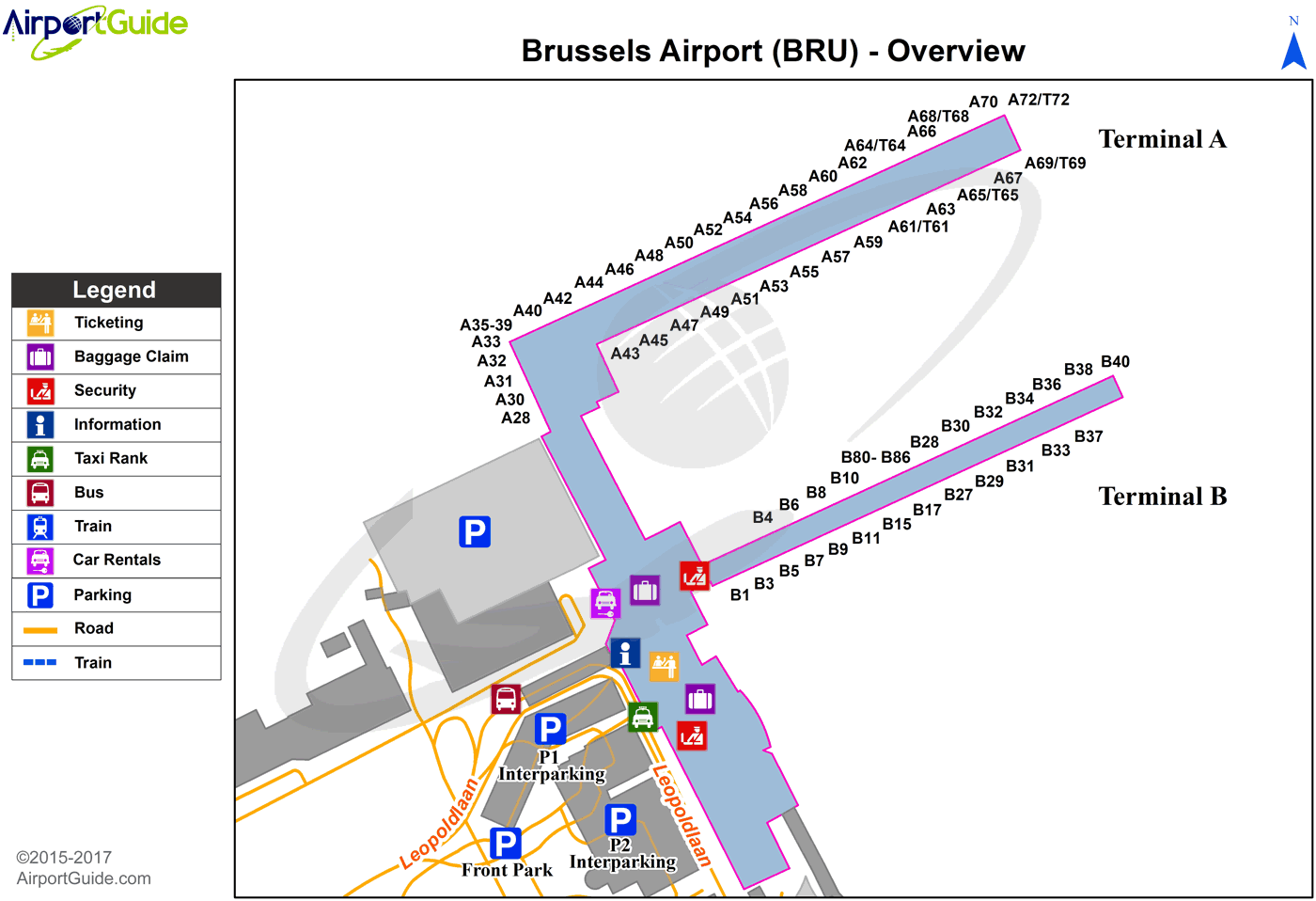
Maps & Diagrams
BRU Sectional
Flight Planning
at skyvector.com
at skyvector.com
