
Location
Latitude: |
50-58-47.2842N (50.979801) |
Longitude: |
010-57-29.1611E (10.9581) |
Elevation: |
1036 feet MSL (316 m MSL) |
Magnetic Variation: |
4.2 E (as of April 2024 from WMM2020 model) |
Time Zone: |
UTC +1.0 (Standard Time) UTC +2.0 (Daylight Savings Time) |
Contacts
Manager: |
: |
Operations
Airport Status: |
Operational |
Facility Use: |
Public |
Type: |
Airport |
Traffic Pattern Altitude (MSL): |
2036 feet (621 m) |
Based Aircraft
Annual Operations (as of )
Communications
| MUNCHEN INFO: | 120.65 |
| TWR: | 121.15 |
| GND: | 121.75 |
| APRON: | 121.9 |
| MUNCHEN RADAR: | 132.3 |
| ATIS: | 133.45 |
Fixed Based Operators (FBOs) & Fuel
(Click on a business for detail)
Please help us keep this information up to date. This is a FREE SERVICE just like everything else on Airport Guide! If you see that a business needs to be added, modified, or deleted please fill out our Update Form.
To add, modify, or delete a business click here.
Please help us keep this information up to date. This is a FREE SERVICE just like everything else on Airport Guide! If you see that a business needs to be added, modified, or deleted please fill out our Update Form.
| Business Name | Frequency | Phone | Fuel Grade |
|---|
Flight Service Stations
| Primary | Alternate | |
| FSS on Field: | ||
| FSS Name (ID): | ||
| Frequency: | ||
| Toll Free Phone: |
Instrument Procedures / Charts
Terminal Procedures are only available for airports in several countries with more being added all the time. If you are looking for a specific country's charts, please send an email to support(at)airportguide.com stating the country name. This will be used to prioritize the implementation.
Navigation Aids (Navaids) near ERF
| Dist (NM) | ID | Morse Code | Name | Type | Freq | True Hdg | Mag Hdg |
|---|---|---|---|---|---|---|---|
| 0.2 | EFD | Erfurt | DME | 112.05 | 354 | 350 | |
| 1.3 | ERT | Erfurt | NDB | 425 | 277 | 273 | |
| 10.7 | ERF | Erfurt | VOR-DME | 113.85 | 99 | 95 | |
| 32.5 | GOT | Gotem | VOR-DME | 115.25 | 47 | 43 | |
| 49.6 | LAU | Lichtenau | NDB | 341 | 286 | 282 | |
| 51.4 | SK | Leipzig | NDB | 434 | 57 | 53 | |
| 51.7 | HOF | Hof | NDB | 484 | 143 | 139 | |
| 53.7 | HOD | Hof | DME | 110.70 | 140 | 136 | |
| 54.2 | LED | Leipzig South | DME | 112.15 | 60 | 56 | |
| 54.9 | LND | Leipzig North | DME | 113.50 | 59 | 55 | |
| 56.7 | ZIG | Leipzig | NDB | 340 | 60 | 56 | |
| 57.5 | FUL | Fulda | VOR-DME | 112.10 | 246 | 242 | |
| 57.7 | MA | Leipzig | NDB | 357 | 63 | 59 | |
| 58.6 | FTZ | Fritzlar | NDB | 468 | 276 | 272 | |
| 58.7 | AGD | Altenburg | DME | 115.30 | 89 | 85 | |
| 59.0 | ABU | Altenburg | NDB | 330 | 88 | 84 | |
| 63.2 | LEG | Leipzig | VOR-DME | 115.85 | 63 | 59 | |
| 63.5 | KSL | Kassel | NDB | 349 | 297 | 293 | |
| 65.1 | BAY | Bayreuth | DME | 110.60 | 156 | 152 | |
| 65.1 | BAY | Bayreuth | VOR | 110.60 | 156 | 152 |
Nearby Airports with Fuel
| Dist (NM) | Name (Airport IDs) | True Hdg | Mag Hdg | Fuel Grade |
|---|
Notices to Airmen (NOTAMS)
Remarks
No remarks for this landing facility
Runways
Runway Summary
| Runways: | 09/27 |
| Longest Runway: | 09/27 is 8530 ft (2600 m) long |
| Runways with an Instrument Approach: |
ERF Airport Runway Details
| Runway 09/27 | 8530 ft x 164 ft (2600 m x 50 m) | |
| Runway Edge Lights: | Yes Intensity | |
Runway 09 |
Runway 27 |
|
Elevation: |
1025 | 1016 |
Latitude: |
50.981277 | 50.978344 |
Longitude: |
10.939734 | 10.976471 |
|
Runway True Alignment: |
98 | 278 |
Glide Path Angle: |
0.0 degrees | 0.0 degrees |
REIL: |
Yes | Yes |
Threshold Elevation: |
1025 | 1016 |
Displaced Threshold: |
689 |
Services
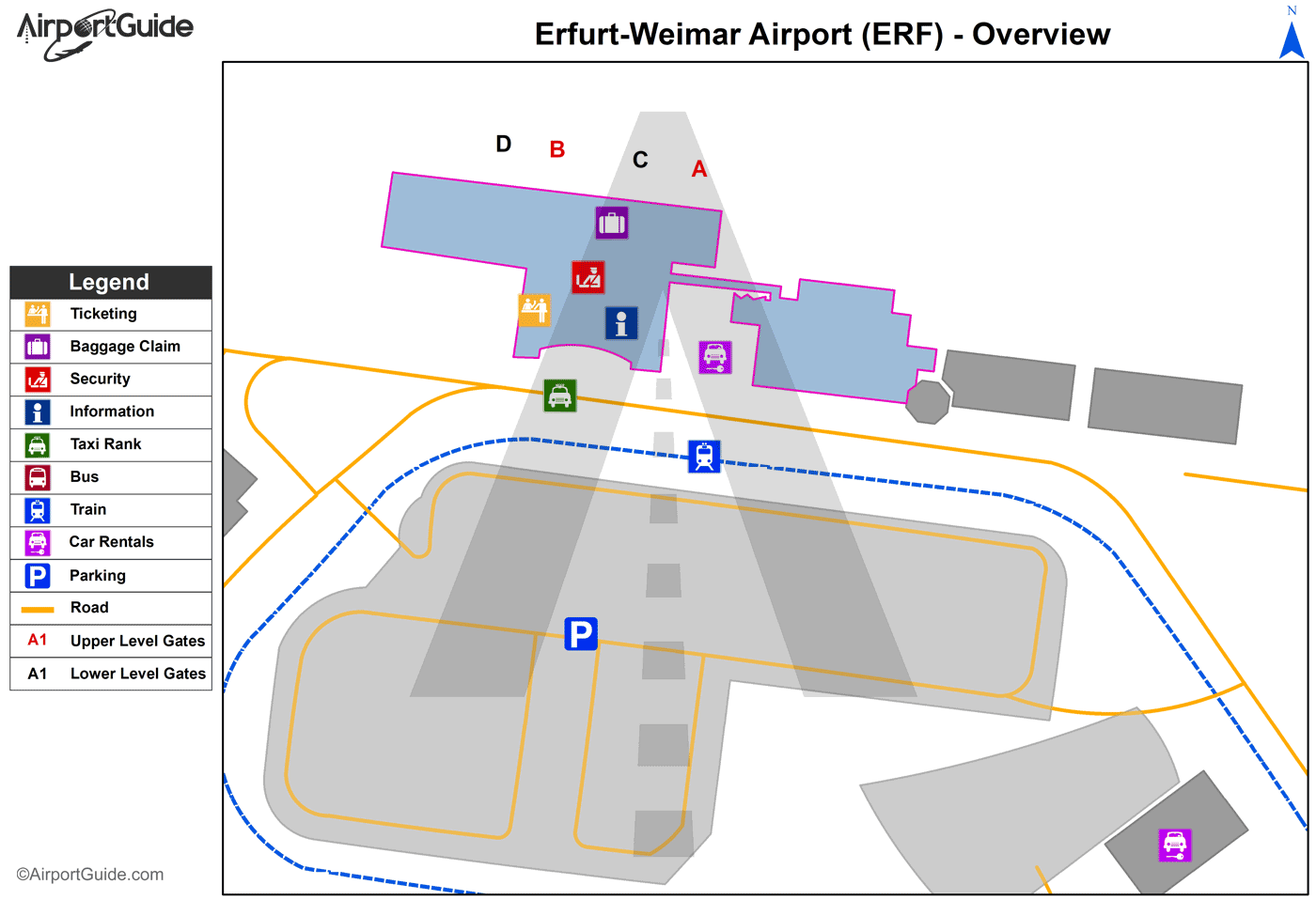
Maps & Diagrams
ERF Sectional
Flight Planning
at skyvector.com
at skyvector.com
