
Location
Latitude: |
14-30-30.96N (14.5086) |
Longitude: |
121-01-11.9892E (121.019997) |
Elevation: |
75 feet MSL (23 m MSL) |
Magnetic Variation: |
2.7 W (as of April 2024 from WMM2020 model) |
Time Zone: |
UTC +8.0 (Standard Time) UTC +8.0 (Daylight Savings Time) |
Contacts
Manager: |
: |
Operations
Airport Status: |
Operational |
Facility Use: |
Public / Military |
Type: |
Airport |
Traffic Pattern Altitude (MSL): |
1075 feet (328 m) |
Based Aircraft
Annual Operations (as of )
Communications
| MANILA RDO: | 544.75 |
| MANILA TWR: | 118.1 |
| CLNC DEL: | 125.1 |
| GND: | 121.9 |
| RAMP 1: | 121.7 |
| MANILA APP: | 119.7 |
| MANILA ATIS: | 126.4 |
| MANILA CON: | 128.3 |
Fixed Based Operators (FBOs) & Fuel
(Click on a business for detail)
Please help us keep this information up to date. This is a FREE SERVICE just like everything else on Airport Guide! If you see that a business needs to be added, modified, or deleted please fill out our Update Form.
To add, modify, or delete a business click here.
Please help us keep this information up to date. This is a FREE SERVICE just like everything else on Airport Guide! If you see that a business needs to be added, modified, or deleted please fill out our Update Form.
| Business Name | Frequency | Phone | Fuel Grade |
|---|
Flight Service Stations
| Primary | Alternate | |
| FSS on Field: | ||
| FSS Name (ID): | ||
| Frequency: | ||
| Toll Free Phone: |
Instrument Procedures / Charts
Terminal Procedures are only available for airports in several countries with more being added all the time. If you are looking for a specific country's charts, please send an email to support(at)airportguide.com stating the country name. This will be used to prioritize the implementation.
Navigation Aids (Navaids) near MNL
| Dist (NM) | ID | Morse Code | Name | Type | Freq | True Hdg | Mag Hdg |
|---|---|---|---|---|---|---|---|
| 0.1 | MIA | Manila | VOR-DME | 113.80 | 107 | 110 | |
| 10.9 | RS | Rosario | NDB | 285 | 235 | 238 | |
| 24.4 | PL | Plaridel | NDB | 295 | 336 | 339 | |
| 33.7 | LIP | Lipa | VOR | 115.10 | 169 | 172 | |
| 33.7 | LIP | Lipa | NDB | 259 | 169 | 172 | |
| 42.1 | BB | Basa | NDB | 404 | 312 | 315 | |
| 48.6 | CIA | Clark | VOR-DME | 113.10 | 326 | 329 | |
| 48.7 | SBA | Subic Bay | VOR-DME | 113.50 | 288 | 291 | |
| 48.9 | SFS | Subic Bay | NDB | 366 | 289 | 292 | |
| 49.5 | CIA | Clark | NDB | 362 | 328 | 331 | |
| 55.3 | AL | Alabat | NDB | 247 | 108 | 111 | |
| 58.4 | CAB | Cabanatuan | VOR-DME | 112.70 | 0 | 3 | |
| 66.1 | LBG | Lubang | VOR-DME | 117.50 | 233 | 236 | |
| 77.0 | JOM | Jomalig | VOR-DME | 116.70 | 81 | 84 | |
| 94.8 | LR | Larap | NDB | 228 | 98 | 101 |
Nearby Airports with Fuel
| Dist (NM) | Name (Airport IDs) | True Hdg | Mag Hdg | Fuel Grade |
|---|
Notices to Airmen (NOTAMS)
Remarks
No remarks for this landing facility
Runways
Runway Summary
| Runways: | 06/24 13/31 |
| Longest Runway: | 06/24 is 12261 ft (3737 m) long |
| Runways with an Instrument Approach: |
MNL Airport Runway Details
| Runway 06/24 | 12261 ft x 197 ft (3737 m x 60 m) | |
| Runway Edge Lights: | Yes Intensity | |
Runway 06 |
Runway 24 |
|
Elevation: |
16 | 75 |
Latitude: |
14.49779987335 | 14.51449966430 |
Longitude: |
121 | 121.02999877929 |
|
Runway True Alignment: |
60.3 | 240.3 |
Glide Path Angle: |
0.0 degrees | 0.0 degrees |
REIL: |
Yes | Yes |
Threshold Elevation: |
16 | 75 |
Displaced Threshold: |
580 | 490 |
| Runway 13/31 | 7408 ft x 148 ft (2258 m x 45 m) | |
| Runway Edge Lights: | Yes Intensity | |
Runway 13 |
Runway 31 |
|
Elevation: |
16 | 42 |
Latitude: |
14.52420043945 | 14.50979995727 |
Longitude: |
121.00299835205 | 121.01799774169 |
|
Runway True Alignment: |
134.8 | 314.8 |
Glide Path Angle: |
0.0 degrees | 0.0 degrees |
REIL: |
Yes | Yes |
Threshold Elevation: |
16 | 42 |
Displaced Threshold: |
665 | 760 |
Services
Fuel Available: |
Jet A1 |
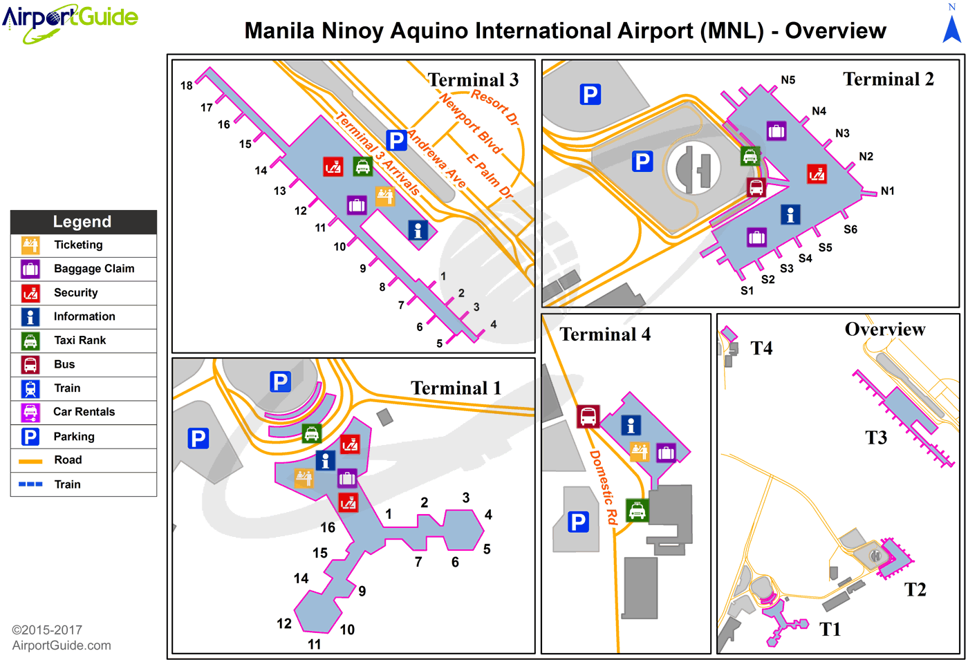
Maps & Diagrams
MNL Sectional
Flight Planning
at skyvector.com
at skyvector.com
