
Location
Latitude: |
40-54-54.2000N (40.915056) |
Longitude: |
081-26-37.1000W (-81.443639) |
Elevation: |
1225.5 feet MSL (374 m MSL) |
Magnetic Variation: |
8.4 W (as of April 2024 from WMM2020 model) |
Time Zone: |
UTC -5.0 (Standard Time) UTC -4.0 (Daylight Savings Time) |
From City: |
10 N.M. SE of Akron, Ohio |
Found On: |
Detroit Chart |
FAA Region: |
AGL |
Contacts
Manager: |
Publicly owned: |
| RENATO CAMACHO 5400 LAUBY RD NORTH CANTON, OH 44720 330-754-5233 |
AKRON CANTON RGNL ARPT AUTHORITY 5400 LAUBY RD NORTH CANTON, OH 44720 330-499-4059 |
Operations
Airport Status: |
Operational |
Facility Use: |
Public |
Type: |
Airport |
Control tower: |
Yes |
Attendance (Months/Days/Hours): |
Months/Days/Hours ALL/ALL/ALL |
Boundary ARTCC: |
ZOB (Cleveland) |
Responsible ARTCC: |
ZOB (Cleveland) |
Segmented Circle Indicator: |
No |
Traffic Pattern Altitude (MSL): |
2226 feet (678 m) |
NOTAMs Facility: |
CAK |
NOTAM-D Service: |
Yes |
International Airport of Entry: |
No |
Customs Landing Rights: |
Yes |
Military Landing Rights: |
Yes |
Civil/Military Joint Use: |
No |
Aircraft Rescue and Firefighting: |
Class I ARFF Index: B Air Carrier Service: Scheduled Certification Date: 05/1973 |
Based Aircraft
| Single Engine: | 100 |
| Multi Engine: | 6 |
| Jet Engine: | 33 |
| GA Helicopters: | 2 |
| Military Aircraft: | 12 |
Annual Operations (as of 12/31/2022)
| Total Operations: | 48472 | |
| Commercial: | 5651 | 11.7% |
| Air Taxi: | 16559 | 34.2% |
| GA Local: | 4346 | 9.0% |
| GA Itinerant: | 20766 | 42.8% |
| Military Aircraft: | 1150 | 2.4% |
Communications
| Unicom: | 122.950 |
| Tower: | AKRON-CANTON 134.75 279.575 Hrs: 24 |
| Clearance Del.: | 132.05 |
| Ground: | 121.7 348.6 |
| Approach: | CLEVELAND CLEVELAND ARTCC |
| Departure: | CLEVELAND CLEVELAND ARTCC |
| ATIS: | 121.05 Hrs: 24 |
| ASOS: | (330-493-5260) |
| EMERG: | 121.5 |
| ARNG OPS: | 40.1FM |
| ARNG OPS: | 138.55 |
| ARNG OPS: | 226.9 |
| EMERG: | 243.0 |
- APCH/DEP SVC PRVDD BY CLEVELAND APCH (CLE) 0600-0100. APCH/DEP SVC PRVDD BY CLEVELAND ARTCC (ZOB) ON FREQS 134.9/269.475 (MANSFIELD RCAG) 0100-0600.
Fixed Based Operators (FBOs) & Fuel
(Click on a business for detail)
Please help us keep this information up to date. This is a FREE SERVICE just like everything else on Airport Guide! If you see that a business needs to be added, modified, or deleted please fill out our Update Form.
To add, modify, or delete a business click here.
Please help us keep this information up to date. This is a FREE SERVICE just like everything else on Airport Guide! If you see that a business needs to be added, modified, or deleted please fill out our Update Form.
Area Code: 330 |
| Business Name | Frequency | Phone | Fuel Grade |
|---|---|---|---|
| A-Flite, Inc.
Update FBO info |
494-5560 | 100LL, Jet A | |
| Air Camis
Update FBO info |
896-3765, 494-2644 | 100LL, Jet A | |
| Air Instructors, Inc.
Update FBO info |
494-5153 | ||
| Avflight Akron-Canton
Website Update FBO info |
844-383-5225 | 100LL, Jet A, Jet A+ | |

|
AvFuel | 100LL - 6.29 USD per gallon on 10/2/14 |
Trucks price includes tax |
|
|
AvFuel | Jet A - 5.15 USD per gallon on 10/2/14 |
Trucks price includes tax |
|
|
AvFuel | Jet A+ - 5.19 USD per gallon on 10/2/14 |
Trucks price includes tax |
| Aviation Insurance Managers, Inc.
Update FBO info |
800-827-4554 | ||
| BF Goodrich De-Icing Aircraft Svc Ctr
Update FBO info |
494-4447 | ||
| G Force Aviation, Inc.
Website Update FBO info |
499-9790 | ||
| Kinney, E. M. & Associates, Inc.
Update FBO info |
494-9995 | ||
| McKinley Air Transport
Update FBO info |
Unicom 122.95 | 800-225-6446, 499-3316 | 100LL, Jet A |
| Norton Performance Plastics Corp.
Update FBO info |
296-9948 |
Flight Service Stations
| Primary | Alternate | |
| FSS on Field: | N | |
| FSS Name (ID): | Cleveland(CLE) | |
| Frequency: | ||
| Toll Free Phone: | 1-800-WX-BRIEF |
Instrument Procedures / Charts
FAA Terminal Procedures valid from 0901Z 03/21/24 to 0901Z 04/18/24.
There are various types of charts available for an airport. They are listed in the Page Type column. Here is a legend for those types:
APD - Airport Diagram
DP - Departure Procedure Charts
HOT - Hot Spots
IAP - Instrument Approach Procedure Charts
MIN - Minimums
STAR - Standard Terminal Arrival Charts
| Page Type | Page Name | Volume | Action Since Last Cycle |
|---|---|---|---|
| APD | AIRPORT DIAGRAM | EC-2 | |
| HOT | HOT SPOT | EC-2 | |
| IAP | ILS OR LOC RWY 01 | EC-2 | |
| IAP | ILS OR LOC RWY 05 | EC-2 | |
| IAP | ILS OR LOC RWY 19 | EC-2 | |
| IAP | ILS OR LOC RWY 23 | EC-2 | |
| IAP | RNAV (GPS) RWY 01 | EC-2 | |
| IAP | RNAV (GPS) RWY 05 | EC-2 | |
| IAP | RNAV (GPS) RWY 19 | EC-2 | |
| IAP | RNAV (GPS) RWY 23 | EC-2 | |
| IAP | VOR RWY 05 | EC-2 | |
| IAP | VOR RWY 23 | EC-2 | |
| LAH | LAHSO | EC-2 | |
| MIN | TAKEOFF MINIMUMS | EC-2 | |
| STAR | BRWNZ FOUR (RNAV) | EC-2 | |
| STAR | BRWNZ FOUR (RNAV)[DELIMITER] CONT.1 | EC-2 | |
| STAR | BRWNZ FOUR (RNAV)[DELIMITER] CONT.2 | EC-2 | |
| STAR | HUUVR ONE (RNAV) | EC-2 | |
| STAR | ZZIPS ONE (RNAV) | EC-2 |
Terminal Procedures are only available for airports in several countries with more being added all the time. If you are looking for a specific country's charts, please send an email to support(at)airportguide.com stating the country name. This will be used to prioritize the implementation.
Navigation Aids (Navaids) near CAK
| Dist (NM) | ID | Morse Code | Name | Type | Freq | True Hdg | Mag Hdg |
|---|---|---|---|---|---|---|---|
| 0.1 | CAK | _ . _ . . _ _ . _ | Akron/Canton Regional | VOT | 110.60 | 43 | 51 |
| 9.6 | AK | . _ _ . _ | Akron | NDB | 362 | 15 | 23 |
| 10.5 | BSV | _ . . . . . . . . . _ | Briggs | VOR-DME | 112.40 | 177 | 185 |
| 15.9 | ACO | . _ _ . _ . _ _ _ | Akron | VOR-DME | 114.40 | 43 | 52 |
| 29.7 | MLR | _ _ . _ . . . _ . | Millersburg/Dcmsnd | NDB | 382 | 221 | 229 |
| 35.4 | CLE | _ . _ . . _ . . . | Cleveland | VOT | 110.40 | 328 | 336 |
| 36.8 | AAU | . _ . _ . . _ | Ashland | NDB | 329 | 274 | 282 |
| 38.3 | CXR | _ . _ . _ . . _ . _ . | Chardon | VOR-DME | 112.70 | 19 | 28 |
| 41.2 | CTW | _ . _ . _ . _ _ | Newcomerstown | DME | 111.8 | 182 | 190 |
| 42.0 | DJB | _ . . . _ _ _ _ . . . | Dryer | VOR-DME | 113.60 | 309 | 317 |
| 42.0 | YN | _ . _ _ _ . | Fetch | NDB | 338 | 65 | 74 |
| 42.8 | YNG | _ . _ _ _ . _ _ . | Youngstown | VORTAC | 109.00 | 54 | 63 |
| 43.7 | HBD | . . . . _ . . . _ . . | Hubbard | NDB | 408 | 70 | 79 |
| 45.2 | CFX | _ . _ . . . _ . _ . . _ | Cadiz | NDB | 239 | 154 | 163 |
| 46.1 | LQL | . _ . . _ _ . _ . _ . . | Lakeland | NDB | 263 | 3 | 12 |
| 46.3 | MF | _ _ . . _ . | Manns | NDB | 372 | 259 | 267 |
| 47.0 | UCP | . . _ _ . _ . . _ _ . | Castle | NDB | 272 | 81 | 90 |
| 52.1 | MFD | _ _ . . _ . _ . . | Mansfield | VORTAC | 108.80 | 267 | 275 |
| 56.0 | HLG | . . . . . _ . . _ _ . | Wheeling | VOR-DME | 114.25 | 134 | 143 |
| 56.2 | EWC | . . _ _ _ . _ . | Ellwood City | VOR-DME | 115.80 | 95 | 104 |
Nearby Airports with Fuel
Notices to Airmen (NOTAMS)
Remarks
| A110-1 | DEER & BIRDS ON & INVOF ARPT. |
| A110-2 | ALL ACFT TAXIING ON AIR CAMIS RAMP & NORTH HANGAR AREAS NOT VISIBLE FM ATCT. |
| A110-4 | TWY E EAST OF TWY B CLSD TO ACFT OVER 118 FT WINGSPAN. |
| A110-5 | FOR CD CTC CLEVELAND ARTCC AT 440-774-0223. |
| A24 | MULTI ENG ONLY |
| A26 | ARFF SVC NOT AVBL 0100-0500 LCL DLY. ONE HOUR PPR FOR UNSKED ACR OPNS; CALL AMGR 330-499-4059. |
Runways
Runway Summary
| Runways: | 01/19 05/23 |
| Longest Runway: | 05/23 is 8204 ft (2501 m) long |
| Runways with an Instrument Approach: | 01, 19, 05, 23 |
CAK Airport Runway Details
| Runway 01/19 | 7601 ft x 150 ft (2317 m x 46 m) | |
| Runway Length Source: | 3RD PARTY SURVEY as of 03/08/2013 | |
| Surface: | Asphalt - Good condition - Saw-cut or plastic grooved | |
| Runway Pavement Class: | 85 /F/C/X/T | |
| Runway Edge Lights: | High Intensity | |
Runway Weight Bearing Capacity (in thousands of pounds) |
||
| Single Wheel Landing Gear: | 120.0 | |
| Dual Wheel Landing Gear: | 160.0 | |
| Dual Tandem Wheel Landing Gear: | 250.0 | |
Runway 01 |
Runway 19 |
|
Elevation: |
1208.6 | 1214.0 |
Latitude: |
40-54-25.8052N | 40-55-40.8339N |
Longitude: |
081-26-28.8974W | 081-26-24.6183W |
|
Runway True Alignment: |
002 | 182 |
ILS Type: |
ILS | ILS |
Glide Path Angle: |
0.0 degrees | 3.0 degrees |
Traffic Pattern: |
Left | Left |
Runway Markings Type: |
Precision Instrument | Precision Instrument |
Runway Markings Condition: |
Good | Good |
Visual Glide Slope Indicators: |
4-Light PAPI On Left Side Of Runway | |
Runway Visual Range (RVR): |
Touchdown, Rollout | Touchdown, Rollout |
Approach Light System: |
1,400 Foot Medium Intensity Approach Lighting System With Runway Alignment Indicator Lights | 1,400 Foot Medium Intensity Approach Lighting System With Runway Alignment Indicator Lights |
REIL: |
No | No |
Touchdown Lights: |
No | No |
Centerline Lights: |
No | No |
Threshold Crossing Height: |
53 | |
Threshold Elevation: |
1214.3 | |
Displaced Threshold: |
601 | |
Threshold Latitude: |
40-55-34.9014N | |
Threshold Longitude: |
081-26-24.9567W | |
Declared Distances |
||
Take Off Run Avbl. (TORA): |
7601 | 7601 |
Take Off Distance Avbl. (TODA): |
7601 | 7601 |
Actual Stop Dist. Avbl. (ASDA): |
7007 | 7601 |
Landing Dist. Avbl. (LDA): |
7007 | 7007 |
| Runway 05/23 | 8204 ft x 150 ft (2501 m x 46 m) | |
| Runway Length Source: | 3RD PARTY SURVEY as of 03/08/2013 | |
| Surface: | Asphalt - Good condition - Saw-cut or plastic grooved | |
| Runway Pavement Class: | 133/F/C/X/T | |
| Runway Edge Lights: | High Intensity | |
Runway Weight Bearing Capacity (in thousands of pounds) |
||
| Single Wheel Landing Gear: | 120.0 | |
| Dual Wheel Landing Gear: | 160.0 | |
| Dual Tandem Wheel Landing Gear: | 250.0 | |
Runway 05 |
Runway 23 |
|
Elevation: |
1179.6 | 1225.5 |
Latitude: |
40-54-18.2936N | 40-55-13.0871N |
Longitude: |
081-27-26.0169W | 081-26-07.2834W |
|
Runway True Alignment: |
047 | 227 |
ILS Type: |
ILS/DME | ILS/DME |
Glide Path Angle: |
3.0 degrees | 3.0 degrees |
Traffic Pattern: |
Left | Left |
Runway Markings Type: |
Precision Instrument | Precision Instrument |
Runway Markings Condition: |
Good | Good |
Visual Glide Slope Indicators: |
4-Light PAPI On Left Side Of Runway | 4-Light PAPI On Left Side Of Runway |
Runway Visual Range (RVR): |
Touchdown, Rollout | Touchdown, Rollout |
Approach Light System: |
1,400 Foot Medium Intensity Approach Lighting System With Runway Alignment Indicator Lights | 1,400 Foot Medium Intensity Approach Lighting System With Runway Alignment Indicator Lights |
REIL: |
No | No |
Touchdown Lights: |
No | No |
Centerline Lights: |
No | No |
Threshold Crossing Height: |
50 | 47 |
Declared Distances |
||
Take Off Run Avbl. (TORA): |
8204 | 8204 |
Take Off Distance Avbl. (TODA): |
8204 | 8204 |
Actual Stop Dist. Avbl. (ASDA): |
8204 | 8204 |
Landing Dist. Avbl. (LDA): |
8204 | 8204 |
Services
Airframe Repair: |
Major |
Powerplant Repair: |
Major |
Bottled Oxygen: |
High Pressure / Low Pressure |
Bulk Oxygen: |
High Pressure / Low Pressure |
Fuel Available: |
100LL, Jet A |
Landing Fees: |
Yes |
Parking: |
Hangars and tiedowns available |
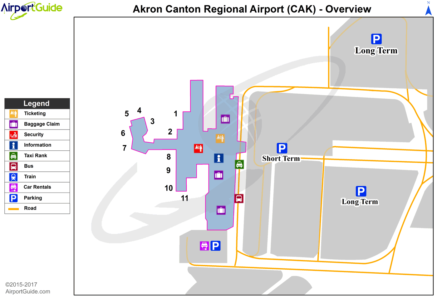
Maps & Diagrams
CAK Sectional
Flight Planning
at skyvector.com
at skyvector.com
 Diagram")