
Location
Latitude: |
43-10-43.3182N (43.178699) |
Longitude: |
0000-000-23.1804W (-.006439) |
Elevation: |
1260 feet MSL (384 m MSL) |
Magnetic Variation: |
1.3 E (as of April 2024 from WMM2020 model) |
Time Zone: |
UTC +1.0 (Standard Time) UTC +2.0 (Daylight Savings Time) |
Contacts
Manager: |
: |
Operations
Airport Status: |
Operational |
Facility Use: |
Public |
Type: |
Airport |
Traffic Pattern Altitude (MSL): |
2260 feet (689 m) |
Based Aircraft
Annual Operations (as of )
Communications
| TWR: | 119.05 |
| GND: | 121.8 |
| APP: | 120.3 |
| PYRENEES APP: | 121.175 |
| ATIS: | 125.95 |
Fixed Based Operators (FBOs) & Fuel
(Click on a business for detail)
Please help us keep this information up to date. This is a FREE SERVICE just like everything else on Airport Guide! If you see that a business needs to be added, modified, or deleted please fill out our Update Form.
To add, modify, or delete a business click here.
Please help us keep this information up to date. This is a FREE SERVICE just like everything else on Airport Guide! If you see that a business needs to be added, modified, or deleted please fill out our Update Form.
| Business Name | Frequency | Phone | Fuel Grade |
|---|
Flight Service Stations
| Primary | Alternate | |
| FSS on Field: | ||
| FSS Name (ID): | ||
| Frequency: | ||
| Toll Free Phone: |
Instrument Procedures / Charts
Terminal Procedures are only available for airports in several countries with more being added all the time. If you are looking for a specific country's charts, please send an email to support(at)airportguide.com stating the country name. This will be used to prioritize the implementation.
Navigation Aids (Navaids) near LDE
| Dist (NM) | ID | Morse Code | Name | Type | Freq | True Hdg | Mag Hdg |
|---|---|---|---|---|---|---|---|
| 7.0 | TL | Tarbes | NDB | 321 | 20 | 19 | |
| 11.4 | TBO | Tarbes | VOR | 113.90 | 35 | 34 | |
| 17.3 | TAN | Lahitte | VOR | 111.80 | 358 | 357 | |
| 48.9 | MDM | Mont De Marsan | TACAN | 108.70 | 333 | 332 | |
| 49.7 | TW | Toulouse | NDB | 406 | 64 | 63 | |
| 57.2 | AGN | Agen | VOR-DME | 114.80 | 41 | 40 | |
| 63.5 | BZ | Biarritz | NDB | 341 | 286 | 285 | |
| 63.9 | TLU | Toulouse/Francazal | TACAN | 116.00 | 69 | 68 | |
| 64.8 | TOU | Toulouse | VOR-DME | 117.70 | 61 | 60 | |
| 67.9 | BTZ | Biarritz | VOR-DME | 114.15 | 285 | 284 | |
| 68.1 | TS | Toulouse | NDB | 423 | 72 | 71 | |
| 73.5 | CSM | Castelsarrasin Moissac | NDB | 327 | 41 | 40 | |
| 75.8 | TOE | Toulouse | NDB | 415 | 75 | 74 | |
| 75.9 | NO | Pamplona | NDB | 386 | 250 | 249 | |
| 76.9 | PAM | Pamplona | NDB | 422 | 249 | 248 | |
| 78.3 | TON | Torralba De Aragon | NDB | 335 | 196 | 195 | |
| 78.4 | PAP | Pamplona | VOR-DME | 113.55 | 248 | 247 | |
| 79.1 | PPN | Pamplona | VOR-DME | 112.30 | 250 | 249 | |
| 79.1 | HIG | San Sebastian | NDB-DME | 328 | 279 | 278 | |
| 80.1 | SSN | San Sebastian | VOR-DME | 117.90 | 276 | 275 |
Nearby Airports with Fuel
| Dist (NM) | Name (Airport IDs) | True Hdg | Mag Hdg | Fuel Grade |
|---|
Notices to Airmen (NOTAMS)
Remarks
No remarks for this landing facility
Runways
Runway Summary
| Runways: | 02/20 |
| Longest Runway: | 02/20 is 9843 ft (3000 m) long |
| Runways with an Instrument Approach: |
LDE Airport Runway Details
| Runway 02/20 | 9843 ft x 148 ft (3000 m x 45 m) | |
| Runway Edge Lights: | Yes Intensity | |
Runway 02 |
Runway 20 |
|
Elevation: |
1238 | 1170 |
Latitude: |
43.16600036621 | 43.19129943847 |
Longitude: |
-0.012749999761 | 0.0000690000015 |
|
Runway True Alignment: |
20 | 200 |
Glide Path Angle: |
0.0 degrees | 0.0 degrees |
REIL: |
Yes | Yes |
Threshold Elevation: |
1238 | 1170 |
Displaced Threshold: |
2199 |
Services
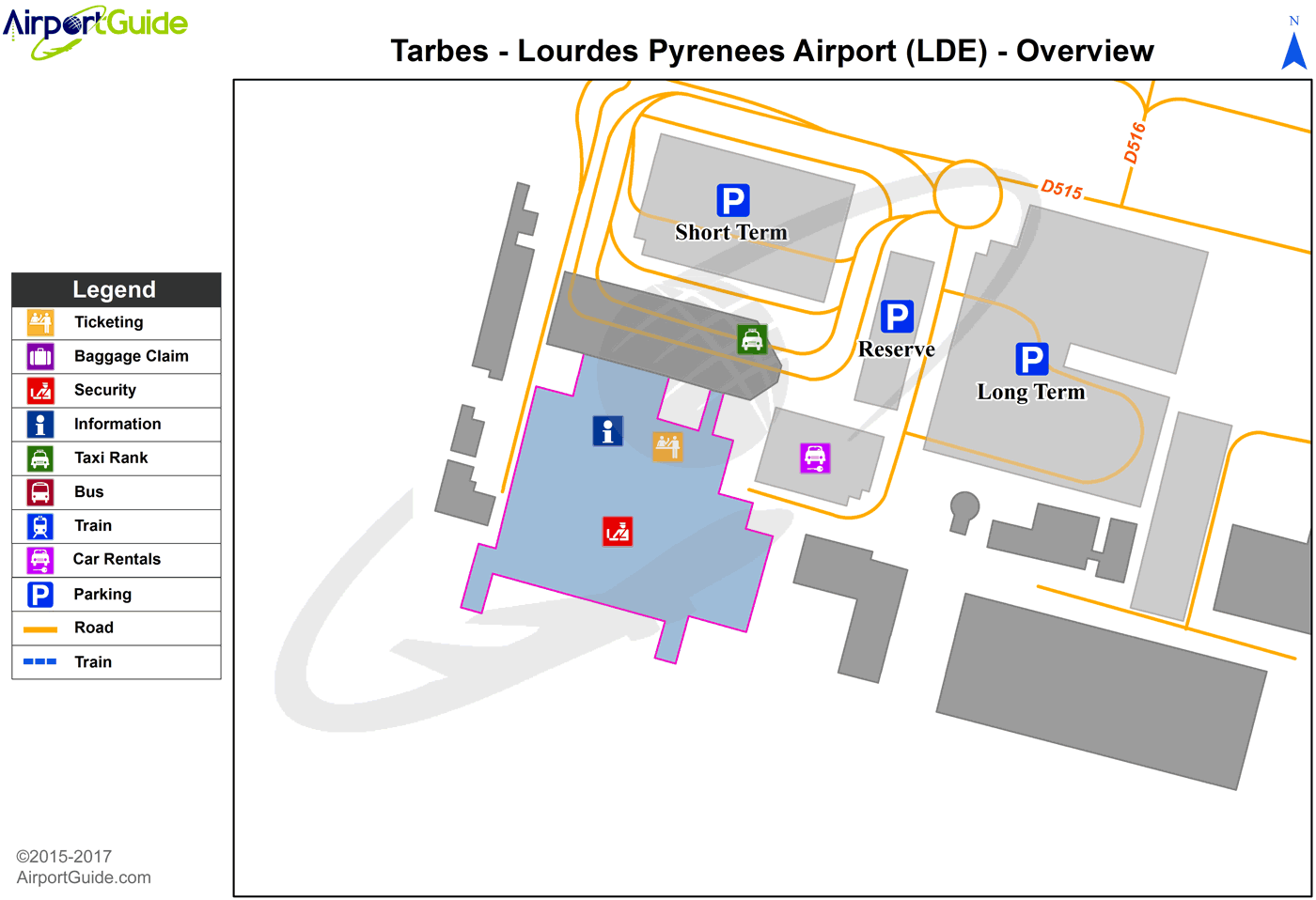
Maps & Diagrams
LDE Sectional
Flight Planning
at skyvector.com
at skyvector.com
