
Location
Latitude: |
44-24-47.88N (44.4133) |
Longitude: |
008-50-15E (8.8375) |
Elevation: |
13 feet MSL (4 m MSL) |
Magnetic Variation: |
3.4 E (as of April 2024 from WMM2020 model) |
Time Zone: |
UTC +1.0 (Standard Time) UTC +2.0 (Daylight Savings Time) |
Contacts
Manager: |
: |
Operations
Airport Status: |
Operational |
Facility Use: |
Public |
Type: |
Airport |
Traffic Pattern Altitude (MSL): |
1013 feet (309 m) |
Based Aircraft
Annual Operations (as of )
Communications
| TWR: | 118.6 |
| APP: | 119.6 |
| ATIS: | 122.825 |
Fixed Based Operators (FBOs) & Fuel
(Click on a business for detail)
Please help us keep this information up to date. This is a FREE SERVICE just like everything else on Airport Guide! If you see that a business needs to be added, modified, or deleted please fill out our Update Form.
To add, modify, or delete a business click here.
Please help us keep this information up to date. This is a FREE SERVICE just like everything else on Airport Guide! If you see that a business needs to be added, modified, or deleted please fill out our Update Form.
| Business Name | Frequency | Phone | Fuel Grade |
|---|
Flight Service Stations
| Primary | Alternate | |
| FSS on Field: | ||
| FSS Name (ID): | ||
| Frequency: | ||
| Toll Free Phone: |
Instrument Procedures / Charts
Terminal Procedures are only available for airports in several countries with more being added all the time. If you are looking for a specific country's charts, please send an email to support(at)airportguide.com stating the country name. This will be used to prioritize the implementation.
Navigation Aids (Navaids) near GOA
| Dist (NM) | ID | Morse Code | Name | Type | Freq | True Hdg | Mag Hdg |
|---|---|---|---|---|---|---|---|
| 0.6 | SES | Genova Sestri | VOR-DME | 108.60 | 291 | 288 | |
| 10.5 | GEN | Genova | VOR-DME | 112.80 | 86 | 83 | |
| 10.6 | GEN | Genova | NDB | 318 | 86 | 83 | |
| 14.9 | CMO | Camogli | NDB | 389 | 105 | 102 | |
| 33.5 | VOG | Voghera | NDB | 334 | 9 | 6 | |
| 33.5 | VOG | Voghera | VOR-DME | 115.50 | 9 | 6 | |
| 34.1 | ABN | Albenga | NDB | 420 | 231 | 228 | |
| 37.6 | ALB | Albenga | VOR-DME | 116.95 | 234 | 231 | |
| 48.3 | PIA | Piacenza | TACAN | 117.40 | 50 | 47 | |
| 50.4 | PIA | Piacenza | NDB | 440 | 56 | 53 | |
| 51.5 | SAZ | Sarzana | TACAN | 111.10 | 112 | 109 | |
| 51.7 | TOP | Torino | VOR-DME | 114.50 | 306 | 303 | |
| 51.8 | TOP | Torino | NDB | 393 | 306 | 303 | |
| 52.9 | LEV | Levaldigi | NDB | 371 | 278 | 275 | |
| 57.2 | COD | Codogno | NDB | 401 | 31 | 28 | |
| 59.1 | LIN | Linate | NDB | 386 | 18 | 15 | |
| 60.7 | NOV | Novara | NDB | 292 | 358 | 355 | |
| 61.2 | CAM | Cameri | NDB | 323 | 354 | 351 | |
| 65.6 | LIN | Linate | VOR-DME | 112.25 | 16 | 13 | |
| 66.3 | CAS | Caselle | NDB | 357 | 310 | 307 |
Nearby Airports with Fuel
| Dist (NM) | Name (Airport IDs) | True Hdg | Mag Hdg | Fuel Grade |
|---|
Notices to Airmen (NOTAMS)
Remarks
No remarks for this landing facility
Runways
Runway Summary
| Runways: | 10/28 |
| Longest Runway: | 10/28 is 9564 ft (2915 m) long |
| Runways with an Instrument Approach: |
GOA Airport Runway Details
| Runway 10/28 | 9564 ft x 148 ft (2915 m x 45 m) | |
| Runway Edge Lights: | Yes Intensity | |
Runway 10 |
Runway 28 |
|
Elevation: |
9 | 12 |
Latitude: |
44.41540145874 | 44.40850067138 |
Longitude: |
8.8241901397705 | 8.8595800399780 |
|
Runway True Alignment: |
105 | 285 |
Glide Path Angle: |
0.0 degrees | 0.0 degrees |
REIL: |
Yes | Yes |
Threshold Elevation: |
9 | 12 |
Displaced Threshold: |
528 |
Services
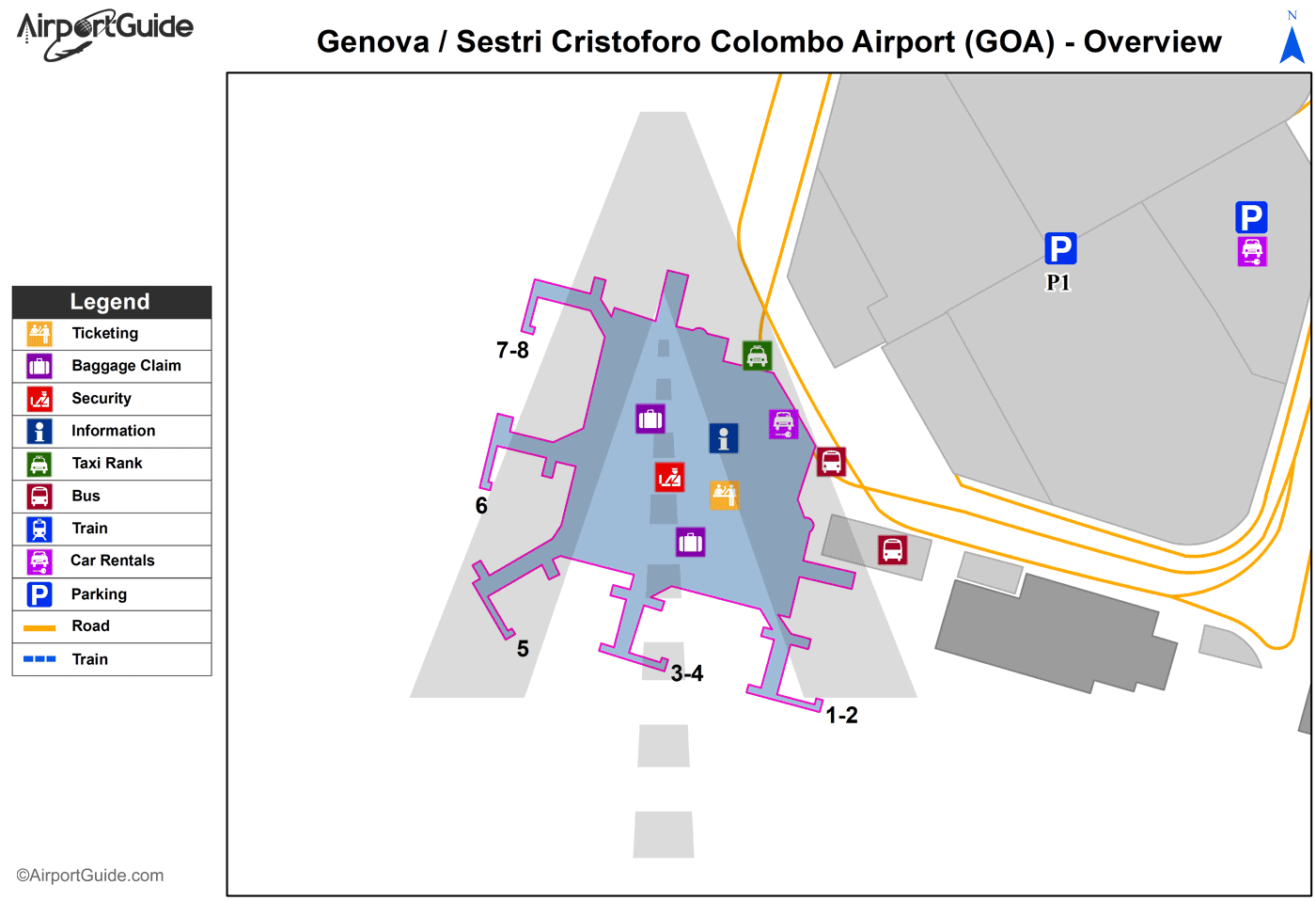
Maps & Diagrams
GOA Sectional
Flight Planning
at skyvector.com
at skyvector.com
