
Location
Latitude: |
09-59-37.8969N (9.99386) |
Longitude: |
084-12-31.6846W (-84.208801) |
Elevation: |
3021 feet MSL (921 m MSL) |
Magnetic Variation: |
2.6 W (as of April 2024 from WMM2020 model) |
Time Zone: |
UTC -6.0 (Standard Time) UTC -6.0 (Daylight Savings Time) |
Contacts
Manager: |
: |
Operations
Airport Status: |
Operational |
Facility Use: |
Public |
Type: |
Airport |
Traffic Pattern Altitude (MSL): |
4021 feet (1226 m) |
Based Aircraft
Annual Operations (as of )
Communications
| COCO RDO: | 126.8 |
| COCO TWR: | 118.6 |
| CLNC: | 121.3 |
| GND: | 121.9 |
| COCO APP: | 120.5 |
| COCO CON: | 119.6 |
Fixed Based Operators (FBOs) & Fuel
(Click on a business for detail)
Please help us keep this information up to date. This is a FREE SERVICE just like everything else on Airport Guide! If you see that a business needs to be added, modified, or deleted please fill out our Update Form.
To add, modify, or delete a business click here.
Please help us keep this information up to date. This is a FREE SERVICE just like everything else on Airport Guide! If you see that a business needs to be added, modified, or deleted please fill out our Update Form.
| Business Name | Frequency | Phone | Fuel Grade |
|---|
Flight Service Stations
| Primary | Alternate | |
| FSS on Field: | ||
| FSS Name (ID): | ||
| Frequency: | ||
| Toll Free Phone: |
Instrument Procedures / Charts
Terminal Procedures are only available for airports in several countries with more being added all the time. If you are looking for a specific country's charts, please send an email to support(at)airportguide.com stating the country name. This will be used to prioritize the implementation.
Navigation Aids (Navaids) near SJO
| Dist (NM) | ID | Morse Code | Name | Type | Freq | True Hdg | Mag Hdg |
|---|---|---|---|---|---|---|---|
| 1.7 | TIO | El Coco | VOR-DME | 115.70 | 249 | 252 | |
| 5.4 | HOR | Horcones | NDB | 260 | 248 | 251 | |
| 29.3 | PAR | Parrita | NDB | 395 | 192 | 195 | |
| 31.2 | FIO | Fiora | NDB | 212 | 330 | 333 | |
| 58.6 | COL | Barra Del Colorado | NDB | 380 | 38 | 41 | |
| 69.3 | CHI | Los Chiles | NDB | 221 | 334 | 337 | |
| 69.9 | LIO | Limon | VOR-DME | 116.30 | 91 | 94 | |
| 86.8 | LIB | Liberia | VOR-DME | 112.80 | 294 | 296 |
Nearby Airports with Fuel
| Dist (NM) | Name (Airport IDs) | True Hdg | Mag Hdg | Fuel Grade |
|---|
Notices to Airmen (NOTAMS)
Remarks
No remarks for this landing facility
Runways
Runway Summary
| Runways: | 07/25 |
| Longest Runway: | 07/25 is 9882 ft (3012 m) long |
| Runways with an Instrument Approach: |
SJO Airport Runway Details
| Runway 07/25 | 9882 ft x 151 ft (3012 m x 46 m) | |
| Runway Edge Lights: | Yes Intensity | |
Runway 07 |
Runway 25 |
|
Elevation: |
2936 | 3045 |
Latitude: |
9.989000320434 | 9.998849868774 |
Longitude: |
-84.22190093994 | -84.19589996337 |
|
Runway True Alignment: |
69.1 | 249.1 |
Glide Path Angle: |
0.0 degrees | 0.0 degrees |
REIL: |
Yes | Yes |
Threshold Elevation: |
2936 | 3045 |
Displaced Threshold: |
1969 |
Services
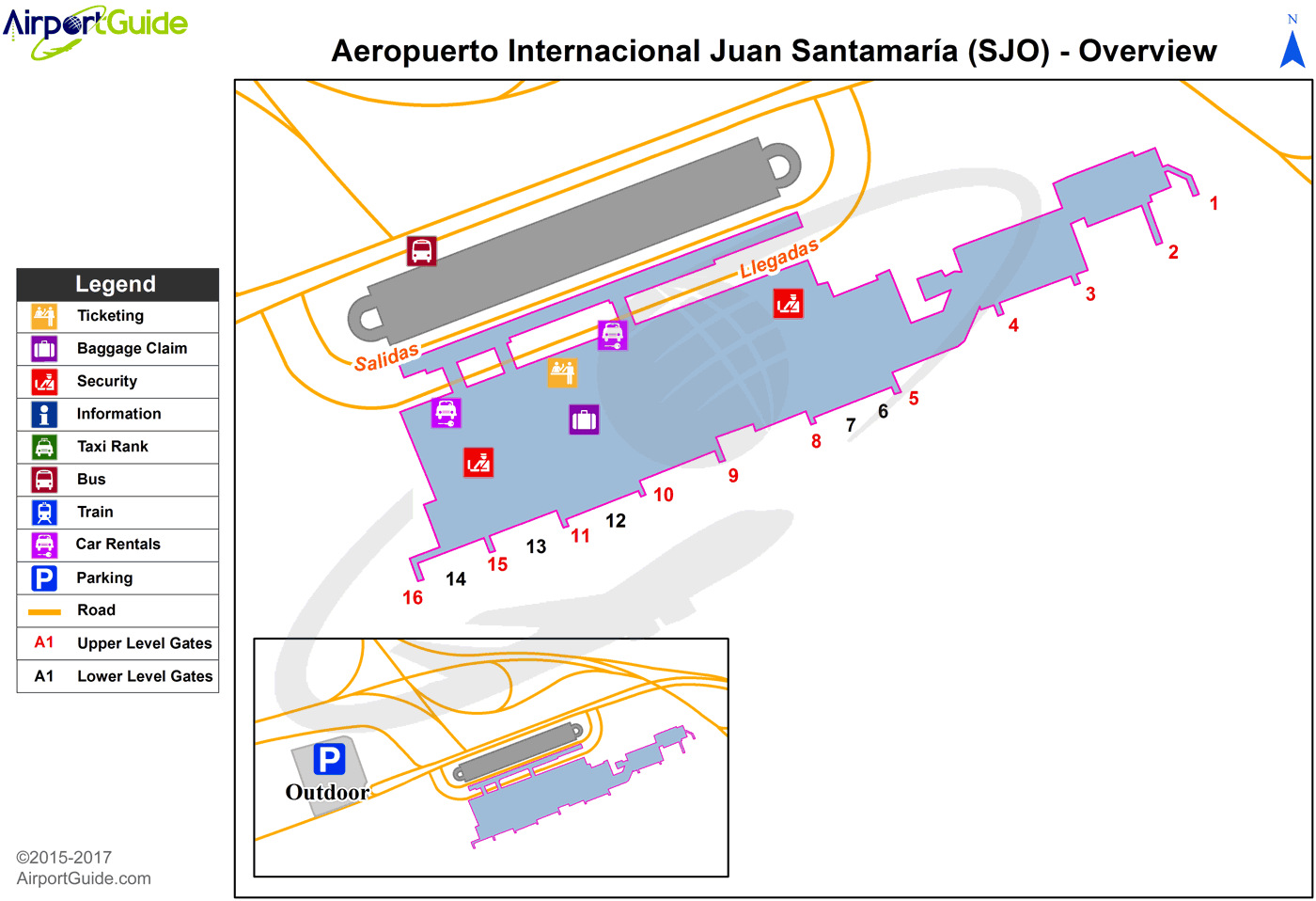
Maps & Diagrams
SJO Sectional
Flight Planning
at skyvector.com
at skyvector.com
