
Location
Latitude: |
51-36-08.6462N (51.602402) |
Longitude: |
006-08-31.8118E (6.14217) |
Elevation: |
106 feet MSL (32 m MSL) |
Magnetic Variation: |
2.8 E (as of April 2024 from WMM2020 model) |
Time Zone: |
UTC +1.0 (Standard Time) UTC +2.0 (Daylight Savings Time) |
Contacts
Manager: |
: |
Operations
Airport Status: |
Operational |
Facility Use: |
Public |
Type: |
Airport |
Traffic Pattern Altitude (MSL): |
1106 feet (337 m) |
Based Aircraft
Annual Operations (as of )
Communications
| LANGEN INFO: | 129.875 |
| TWR: | 129.4 |
| LANGEN RADAR: | 128.5 |
| ATIS: | 124.45 |
Fixed Based Operators (FBOs) & Fuel
(Click on a business for detail)
Please help us keep this information up to date. This is a FREE SERVICE just like everything else on Airport Guide! If you see that a business needs to be added, modified, or deleted please fill out our Update Form.
To add, modify, or delete a business click here.
Please help us keep this information up to date. This is a FREE SERVICE just like everything else on Airport Guide! If you see that a business needs to be added, modified, or deleted please fill out our Update Form.
| Business Name | Frequency | Phone | Fuel Grade |
|---|
Flight Service Stations
| Primary | Alternate | |
| FSS on Field: | ||
| FSS Name (ID): | ||
| Frequency: | ||
| Toll Free Phone: |
Instrument Procedures / Charts
Terminal Procedures are only available for airports in several countries with more being added all the time. If you are looking for a specific country's charts, please send an email to support(at)airportguide.com stating the country name. This will be used to prioritize the implementation.
Navigation Aids (Navaids) near NRN
| Dist (NM) | ID | Morse Code | Name | Type | Freq | True Hdg | Mag Hdg |
|---|---|---|---|---|---|---|---|
| 0.1 | NID | Niederrhein | DME | 115.50 | 189 | 186 | |
| 16.5 | VKL | Volkel | TACAN | 108.30 | 281 | 278 | |
| 16.8 | LMA | Lima | NDB | 311 | 145 | 142 | |
| 23.9 | PH | Eindhoven | NDB | 316 | 264 | 261 | |
| 25.5 | MHV | Monchengladbach | VOR | 109.80 | 149 | 146 | |
| 25.6 | MHD | Monchengladbach | DME | 112.50 | 149 | 146 | |
| 26.3 | MGB | Monchengladbach | NDB | 377 | 148 | 145 | |
| 27.7 | THN | Thorn | NDB | 434 | 204 | 201 | |
| 29.0 | EHN | Eindhoven | NDB | 397 | 254 | 251 | |
| 29.1 | DLN | Deelen | TACAN | 112.20 | 340 | 337 | |
| 29.8 | DUS | Dusseldorf | VOR-DME | 115.15 | 129 | 126 | |
| 30.1 | EHV | Eindhoven | TACAN | 117.20 | 252 | 249 | |
| 31.9 | LI | Dusseldorf | NDB | 417 | 118 | 115 | |
| 32.0 | ONT | Kleine Brogel | NDB | 431 | 223 | 220 | |
| 32.8 | BOT | Bottrop | NDB | 407 | 91 | 88 | |
| 36.2 | BBL | Kleine Brogel | TACAN | 109.60 | 224 | 221 | |
| 36.4 | NW | Maastricht | NDB | 373 | 195 | 192 | |
| 38.4 | MAS | Maastricht | VOR-DME | 108.60 | 190 | 187 | |
| 38.5 | GIX | Geilenkirchen | TACAN | 108.10 | 185 | 182 | |
| 39.3 | RKN | Rekken | VOR-DME | 116.80 | 35 | 32 |
Nearby Airports with Fuel
| Dist (NM) | Name (Airport IDs) | True Hdg | Mag Hdg | Fuel Grade |
|---|---|---|---|---|
| 66.8 | Rotterdam Airport (RTM EHRD) |
289 | 287 | 100LL |
Notices to Airmen (NOTAMS)
Remarks
No remarks for this landing facility
Runways
Runway Summary
| Runways: | 09/27 |
| Longest Runway: | 09/27 is 8005 ft (2440 m) long |
| Runways with an Instrument Approach: |
NRN Airport Runway Details
| Runway 09/27 | 8005 ft x 148 ft (2440 m x 45 m) | |
| Runway Edge Lights: | Yes Intensity | |
Runway 09 |
Runway 27 |
|
Elevation: |
95 | 105 |
Latitude: |
51.60279846191 | 51.60210037231 |
Longitude: |
6.1245398521423 | 6.1597299575805 |
|
Runway True Alignment: |
92 | 272 |
Glide Path Angle: |
0.0 degrees | 0.0 degrees |
REIL: |
Yes | Yes |
Threshold Elevation: |
95 | 105 |
Services
Fuel Available: |
100LL |
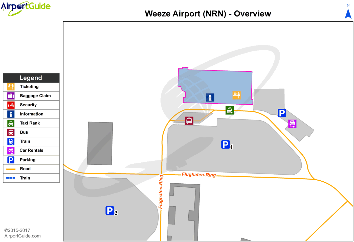
Maps & Diagrams
NRN Sectional
Flight Planning
at skyvector.com
at skyvector.com
