
Location
Latitude: |
40-07-41.1649N (40.128101) |
Longitude: |
032-59-42.3532E (32.995098) |
Elevation: |
3125 feet MSL (952 m MSL) |
Magnetic Variation: |
6.3 E (as of April 2024 from WMM2020 model) |
Time Zone: |
UTC +2.0 (Standard Time) UTC +3.0 (Daylight Savings Time) |
Contacts
Manager: |
: |
Operations
Airport Status: |
Operational |
Facility Use: |
Public |
Type: |
Airport |
Traffic Pattern Altitude (MSL): |
4125 feet (1257 m) |
Based Aircraft
Annual Operations (as of )
Communications
| CTAF: | 122.9 |
| TWR: | 118.1 |
| GND: | 121.9 |
| APP: | 119.1 |
| ATIS: | 123.6 |
Fixed Based Operators (FBOs) & Fuel
(Click on a business for detail)
Please help us keep this information up to date. This is a FREE SERVICE just like everything else on Airport Guide! If you see that a business needs to be added, modified, or deleted please fill out our Update Form.
To add, modify, or delete a business click here.
Please help us keep this information up to date. This is a FREE SERVICE just like everything else on Airport Guide! If you see that a business needs to be added, modified, or deleted please fill out our Update Form.
| Business Name | Frequency | Phone | Fuel Grade |
|---|
Flight Service Stations
| Primary | Alternate | |
| FSS on Field: | ||
| FSS Name (ID): | ||
| Frequency: | ||
| Toll Free Phone: |
Instrument Procedures / Charts
Terminal Procedures are only available for airports in several countries with more being added all the time. If you are looking for a specific country's charts, please send an email to support(at)airportguide.com stating the country name. This will be used to prioritize the implementation.
Navigation Aids (Navaids) near ESB
| Dist (NM) | ID | Morse Code | Name | Type | Freq | True Hdg | Mag Hdg |
|---|---|---|---|---|---|---|---|
| 8.5 | BUK | Cubuk | VOR-DME | 114.30 | 36 | 30 | |
| 8.5 | BUK | Cubuk | NDB | 425 | 36 | 30 | |
| 9.2 | BAG | Baglum | VOR-DME | 113.10 | 247 | 241 | |
| 13.0 | ANK | Ankara | NDB-DME | 356 | 216 | 210 | |
| 17.9 | ETI | Etimesgut | TACAN | 116.60 | 235 | 229 | |
| 19.4 | ZIR | Akinci | TACAN | 114.50 | 262 | 256 | |
| 26.2 | GBI | Golbasi | NDB | 315 | 197 | 191 | |
| 47.1 | HAY | Haymana | NDB-DME | 350 | 208 | 202 | |
| 48.9 | BEY | Beypazari | NDB | 487 | 272 | 266 | |
| 85.2 | SYT | Sivrihisar | TACAN | 109.20 | 241 | 235 | |
| 93.8 | CAY | Caycuma | NDB-DME | 292 | 332 | 326 | |
| 98.5 | ERD | Erdemir | NDB | 401 | 313 | 307 |
Nearby Airports with Fuel
| Dist (NM) | Name (Airport IDs) | True Hdg | Mag Hdg | Fuel Grade |
|---|
Notices to Airmen (NOTAMS)
Remarks
No remarks for this landing facility
Runways
Runway Summary
| Runways: | 03L/21R 03R/21L |
| Longest Runway: | 03L/21R is 12303 ft (3750 m) long |
| Runways with an Instrument Approach: |
ESB Airport Runway Details
| Runway 03L/21R | 12303 ft x 148 ft (3750 m x 45 m) | |
| Runway Edge Lights: | Yes Intensity | |
Runway 03L |
Runway 21R |
|
Elevation: |
3100 | 3123 |
Latitude: |
40.11780166625 | 40.14239883422 |
Longitude: |
32.983699798583 | 33.007198333740 |
|
Runway True Alignment: |
36.3 | 216.3 |
Glide Path Angle: |
0.0 degrees | 0.0 degrees |
REIL: |
Yes | Yes |
Threshold Elevation: |
3100 | 3123 |
Displaced Threshold: |
1148 |
| Runway 03R/21L | 12303 ft x 197 ft (3750 m x 60 m) | |
| Runway Edge Lights: | Yes Intensity | |
Runway 03R |
Runway 21L |
|
Elevation: |
3097 | 3125 |
Latitude: |
40.11410140991 | 40.14130020141 |
Longitude: |
32.983200073242 | 33.009101867675 |
|
Runway True Alignment: |
35.4 | 215.4 |
Glide Path Angle: |
0.0 degrees | 0.0 degrees |
REIL: |
Yes | Yes |
Threshold Elevation: |
3097 | 3125 |
Services
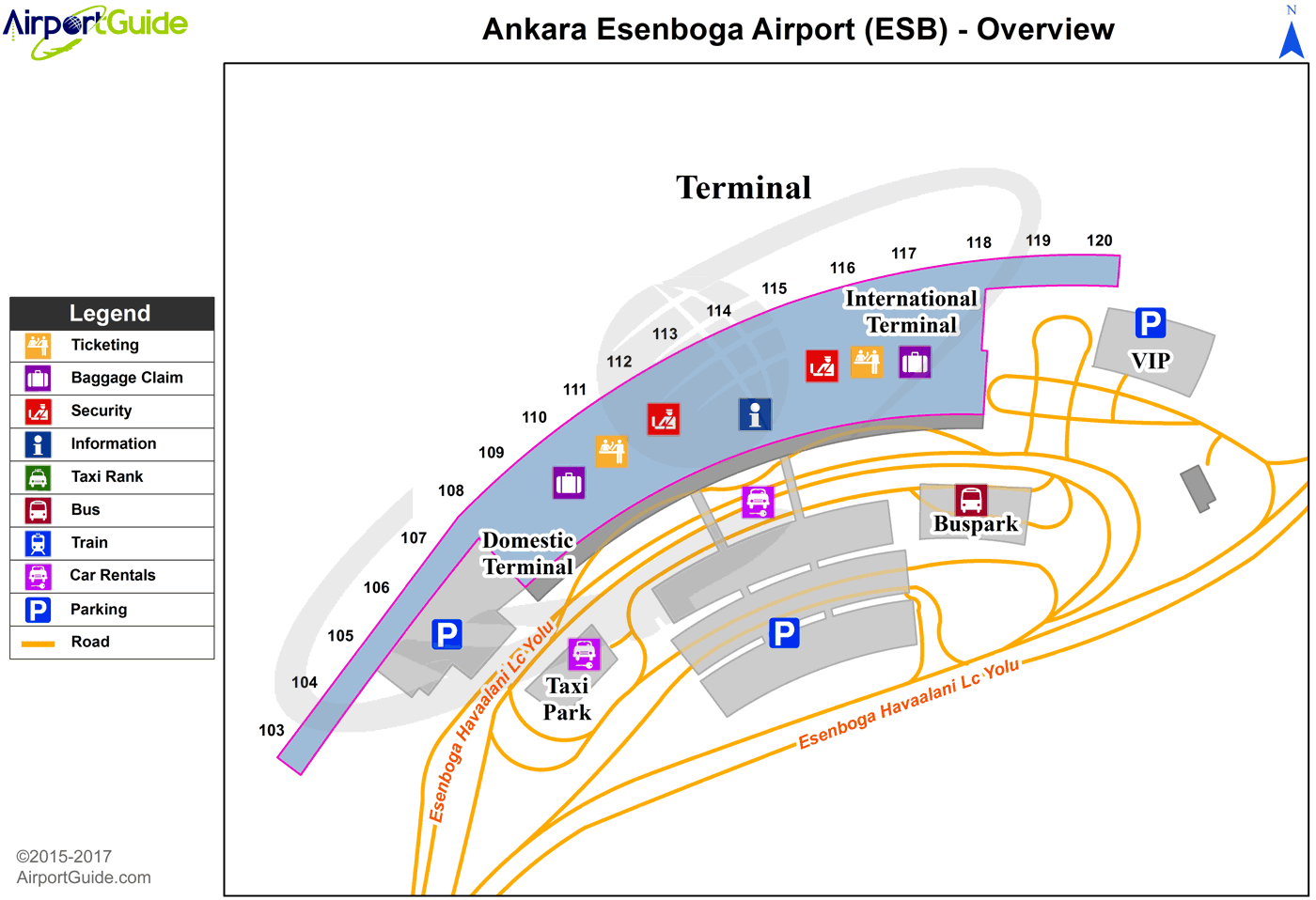
Maps & Diagrams
ESB Sectional
Flight Planning
at skyvector.com
at skyvector.com
