
Location
Latitude: |
47-25-47.136N (47.436901) |
Longitude: |
019-15-39.9348E (19.2556) |
Elevation: |
495 feet MSL (151 m MSL) |
Magnetic Variation: |
5.7 E (as of April 2024 from WMM2020 model) |
Time Zone: |
UTC +1.0 (Standard Time) UTC +2.0 (Daylight Savings Time) |
Contacts
Manager: |
: |
Operations
Airport Status: |
Operational |
Facility Use: |
Public |
Type: |
Airport |
Traffic Pattern Altitude (MSL): |
1495 feet (456 m) |
Based Aircraft
Annual Operations (as of )
Communications
| TWR: | 118.1 |
| Delivery: | 134.55 |
| Apron Guide South: | 122.45 |
| Apron Guide West: | 131.55 |
| GND: | 121.9 |
| BUDAPEST APP: | 129.7 |
| ATIS: | 132.375 |
| DIRECTOR: | 119.5 |
Fixed Based Operators (FBOs) & Fuel
(Click on a business for detail)
Please help us keep this information up to date. This is a FREE SERVICE just like everything else on Airport Guide! If you see that a business needs to be added, modified, or deleted please fill out our Update Form.
To add, modify, or delete a business click here.
Please help us keep this information up to date. This is a FREE SERVICE just like everything else on Airport Guide! If you see that a business needs to be added, modified, or deleted please fill out our Update Form.
| Business Name | Frequency | Phone | Fuel Grade |
|---|
Flight Service Stations
| Primary | Alternate | |
| FSS on Field: | ||
| FSS Name (ID): | ||
| Frequency: | ||
| Toll Free Phone: |
Instrument Procedures / Charts
Terminal Procedures are only available for airports in several countries with more being added all the time. If you are looking for a specific country's charts, please send an email to support(at)airportguide.com stating the country name. This will be used to prioritize the implementation.
Navigation Aids (Navaids) near BUD
| Dist (NM) | ID | Morse Code | Name | Type | Freq | True Hdg | Mag Hdg |
|---|---|---|---|---|---|---|---|
| 0.8 | M | Budapest | NDB | 403 | 165 | 159 | |
| 0.8 | BUD | Budapest | VOR-DME | 117.30 | 342 | 336 | |
| 1.0 | L | Budapest | NDB | 357 | 339 | 333 | |
| 2.1 | A | Budapest | NDB | 343 | 300 | 294 | |
| 2.3 | R | Budapest | NDB | 381 | 121 | 115 | |
| 2.4 | HM | Budapest | NDB | 420 | 143 | 137 | |
| 4.2 | BL | Budapest | NDB | 335 | 318 | 312 | |
| 5.4 | HA | Budapest | NDB | 329 | 306 | 300 | |
| 5.8 | BR | Budapest | NDB | 395 | 128 | 122 | |
| 8.3 | MNR | Monor | NDB | 288 | 135 | 129 | |
| 8.4 | TPS | Tapiosap | VOR-DME | 115.90 | 66 | 60 | |
| 8.4 | TPS | Tapiosap | NDB | 306 | 66 | 60 | |
| 8.6 | MNR | Monor | VOR-DME | 112.50 | 135 | 129 | |
| 12.1 | DU | Tokol | NDB | 510 | 230 | 224 | |
| 12.2 | D | Tokol | NDB | 300 | 238 | 232 | |
| 26.1 | JBR | Jaszbereny | NDB | 517 | 82 | 76 | |
| 27.0 | PTB | Pusztaszabolcs | NDB | 386 | 230 | 224 | |
| 27.0 | PTB | Pusztaszabolcs | VOR-DME | 117.10 | 230 | 224 | |
| 34.6 | NT | Titan | NDB | 313 | 148 | 142 | |
| 36.0 | N | Titan | NDB | 440 | 147 | 141 |
Nearby Airports with Fuel
| Dist (NM) | Name (Airport IDs) | True Hdg | Mag Hdg | Fuel Grade |
|---|---|---|---|---|
| 86.8 | Subotica Airport (LYSU) |
167 | 161 | 100LL |
| 91.4 | Piešťany Airport (PZY LZPP) |
321 | 315 | Jet A1 |
Notices to Airmen (NOTAMS)
Remarks
No remarks for this landing facility
Runways
Runway Summary
| Runways: | 13L/31R 13R/31L |
| Longest Runway: | 13L/31R is 12162 ft (3707 m) long |
| Runways with an Instrument Approach: |
BUD Airport Runway Details
| Runway 13L/31R | 12162 ft x 148 ft (3707 m x 45 m) | |
| Runway Edge Lights: | Yes Intensity | |
Runway 13L |
Runway 31R |
|
Elevation: |
495 | 417 |
Latitude: |
47.4454 | 47.423 |
Longitude: |
19.2575 | 19.2939 |
|
Runway True Alignment: |
132 | 312 |
Glide Path Angle: |
0.0 degrees | 0.0 degrees |
REIL: |
Yes | Yes |
Threshold Elevation: |
495 | 417 |
| Runway 13R/31L | 9875 ft x 148 ft (3010 m x 45 m) | |
| Runway Edge Lights: | Yes Intensity | |
Runway 13R |
Runway 31L |
|
Elevation: |
450 | 450 |
Latitude: |
47.4487 | 47.4305 |
Longitude: |
19.2208 | 19.2502 |
|
Runway True Alignment: |
132 | 312 |
Glide Path Angle: |
0.0 degrees | 0.0 degrees |
REIL: |
Yes | Yes |
Threshold Elevation: |
450 | 450 |
Services
Other Services: |
Full ground, passenger and cargo handling |
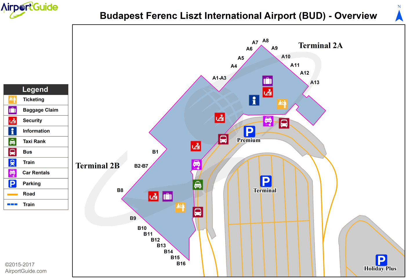
Maps & Diagrams
BUD Sectional
Flight Planning
at skyvector.com
at skyvector.com
