
Location
Latitude: |
49-29-55.3164N (49.498699) |
Longitude: |
011-04-41.0016E (11.0669) |
Elevation: |
1046 feet MSL (319 m MSL) |
Magnetic Variation: |
4.1 E (as of April 2024 from WMM2020 model) |
Time Zone: |
UTC +1.0 (Standard Time) UTC +2.0 (Daylight Savings Time) |
Contacts
Manager: |
: |
Operations
Airport Status: |
Operational |
Facility Use: |
Public |
Type: |
Airport |
Traffic Pattern Altitude (MSL): |
2046 feet (624 m) |
Based Aircraft
Annual Operations (as of )
Communications
| NUERNBERG TOWER: | 118.3 |
| NUERNBERG GROUND: | 118.1 |
| MUNCHEN RADAR: | 129.525 |
| ATIS: | 123.075 |
| Nürnberg Director: | 119.475 |
Fixed Based Operators (FBOs) & Fuel
(Click on a business for detail)
Please help us keep this information up to date. This is a FREE SERVICE just like everything else on Airport Guide! If you see that a business needs to be added, modified, or deleted please fill out our Update Form.
To add, modify, or delete a business click here.
Please help us keep this information up to date. This is a FREE SERVICE just like everything else on Airport Guide! If you see that a business needs to be added, modified, or deleted please fill out our Update Form.
| Business Name | Frequency | Phone | Fuel Grade |
|---|
Flight Service Stations
| Primary | Alternate | |
| FSS on Field: | ||
| FSS Name (ID): | ||
| Frequency: | ||
| Toll Free Phone: |
Instrument Procedures / Charts
Terminal Procedures are only available for airports in several countries with more being added all the time. If you are looking for a specific country's charts, please send an email to support(at)airportguide.com stating the country name. This will be used to prioritize the implementation.
Navigation Aids (Navaids) near NUE
| Dist (NM) | ID | Morse Code | Name | Type | Freq | True Hdg | Mag Hdg |
|---|---|---|---|---|---|---|---|
| 0.5 | NGD | Nurnberg | DME | 113.10 | 73 | 69 | |
| 7.3 | RTB | Rothenbach | NDB | 415 | 97 | 93 | |
| 10.0 | ERL | Erlangen | VOR-DME | 114.90 | 19 | 15 | |
| 18.1 | ALB | Allersberg | VOR-DME | 111.20 | 160 | 156 | |
| 20.4 | ANS | Ansbach | NDB | 452 | 236 | 232 | |
| 26.5 | ILM | Illesheim | NDB | 488 | 266 | 262 | |
| 33.6 | BAZ | Bayreuth | NDB | 420 | 34 | 30 | |
| 35.2 | HFX | Hohenfels | NDB | 286 | 118 | 114 | |
| 35.8 | GRF | Grafenwohr | TACAN | 111.80 | 70 | 66 | |
| 36.0 | GRW | Grafenwohr | NDB | 405 | 70 | 66 | |
| 36.3 | KTG | Kitzingen | VOR | 111.40 | 294 | 290 | |
| 36.6 | BAY | Bayreuth | VOR | 110.60 | 36 | 32 | |
| 36.7 | BAY | Bayreuth | DME | 110.60 | 36 | 32 | |
| 38.8 | DKB | Dinkelsbuhl | VORTAC | 117.80 | 236 | 232 | |
| 43.2 | GBL | Giebelstadt | NDB | 429 | 282 | 278 | |
| 43.4 | NSN | Niederstetten | NDB | 311 | 262 | 258 | |
| 44.3 | GBL | Giebelstadt | TACAN | 111.00 | 281 | 277 | |
| 45.5 | WUR | Wurzburg | VOR | 110.20 | 287 | 283 | |
| 47.5 | NEU | Neuburg | TACAN | 108.90 | 173 | 169 | |
| 47.5 | NDG | Nordlingen | NDB | 375 | 212 | 208 |
Nearby Airports with Fuel
| Dist (NM) | Name (Airport IDs) | True Hdg | Mag Hdg | Fuel Grade |
|---|
Notices to Airmen (NOTAMS)
Remarks
No remarks for this landing facility
Runways
Runway Summary
| Runways: | 10/28 |
| Longest Runway: | 10/28 is 8858 ft (2700 m) long |
| Runways with an Instrument Approach: |
NUE Airport Runway Details
| Runway 10/28 | 8858 ft x 148 ft (2700 m x 45 m) | |
| Runway Edge Lights: | Yes Intensity | |
Runway 10 |
Runway 28 |
|
Elevation: |
1022 | 1046 |
Latitude: |
49.50049972534 | 49.49689865112 |
Longitude: |
11.059200286865 | 11.095999717712 |
|
Runway True Alignment: |
99 | 279 |
Glide Path Angle: |
0.0 degrees | 0.0 degrees |
REIL: |
Yes | Yes |
Threshold Elevation: |
1022 | 1046 |
Services
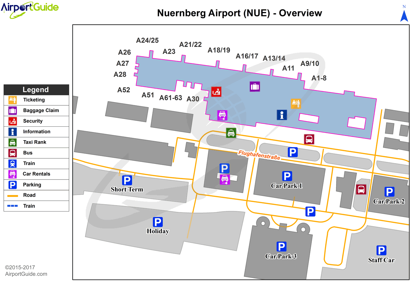
Maps & Diagrams
NUE Sectional
Flight Planning
at skyvector.com
at skyvector.com
