
Location
Latitude: |
33-39-49.2000N (33.663667) |
Longitude: |
101-49-14.0000W (-101.820556) |
Elevation: |
3282.4 feet MSL (1000 m MSL) |
Magnetic Variation: |
5.5 E (as of April 2024 from WMM2020 model) |
Time Zone: |
UTC -6.0 (Standard Time) UTC -5.0 (Daylight Savings Time) |
From City: |
04 N.M. N of Lubbock, Texas |
Found On: |
Dallas-Ft Worth Chart |
FAA Region: |
ASW |
Contacts
Manager: |
Publicly owned: |
| KELLY CAMPBELL RT 3 BOX 389 LUBBOCK, TX 79401 806-775-3126 |
CITY OF LUBBOCK PO BOX 2000 LUBBOCK, TX 79457 806-775-3000 |
Operations
Airport Status: |
Operational |
Facility Use: |
Public |
Type: |
Airport |
Activation Date: |
11/1937 |
Control tower: |
Yes |
Attendance (Months/Days/Hours): |
Months/Days/Hours ALL/ALL/ALL |
Boundary ARTCC: |
ZFW (Fort Worth) |
Responsible ARTCC: |
ZFW (Fort Worth) |
Lighting Schedule: |
SS-SR |
Segmented Circle Indicator: |
No |
Traffic Pattern Altitude (MSL): |
4282 feet (1305 m) |
NOTAMs Facility: |
LBB |
NOTAM-D Service: |
Yes |
International Airport of Entry: |
No |
Customs Landing Rights: |
Yes |
Military Landing Rights: |
Yes |
Civil/Military Joint Use: |
No |
Aircraft Rescue and Firefighting: |
Class I ARFF Index: C Air Carrier Service: Scheduled Certification Date: 05/1973 |
Based Aircraft
| Single Engine: | 100 |
| Multi Engine: | 35 |
| Jet Engine: | 19 |
| GA Helicopters: | 2 |
Annual Operations (as of 05/31/2023)
| Total Operations: | 85277 | |
| Commercial: | 12635 | 14.8% |
| Air Taxi: | 15996 | 18.8% |
| GA Local: | 18798 | 22.0% |
| GA Itinerant: | 28366 | 33.3% |
| Military Aircraft: | 9482 | 11.1% |
Communications
| Unicom: | 122.950 |
| Tower: | LUBBOCK 120.5 239.3 Hrs: 24 |
| Clearance Del.: | 125.8 281.55 |
| Ground: | 121.9 348.6 |
| Approach: | LUBBOCK 119.2 351.8 Hrs: 24 119.9 279.9 335.6 |
| Departure: | LUBBOCK 119.2 351.8 Hrs: 24 119.9 279.9 335.6 |
| ATIS: | 125.3 270.275 Hrs: 24 |
| ASOS: | (806-766-6432) |
| CLASS C: | 119.2 |
| CLASS C: | 351.8 |
| CLASS C/S: | 119.9 |
| EMERG: | 121.5 |
| CLASS C/S: | 335.6 |
Fixed Based Operators (FBOs) & Fuel
(Click on a business for detail)
Please help us keep this information up to date. This is a FREE SERVICE just like everything else on Airport Guide! If you see that a business needs to be added, modified, or deleted please fill out our Update Form.
To add, modify, or delete a business click here.
Please help us keep this information up to date. This is a FREE SERVICE just like everything else on Airport Guide! If you see that a business needs to be added, modified, or deleted please fill out our Update Form.
Area Code: 806 |
| Business Name | Frequency | Phone | Fuel Grade |
|---|---|---|---|
| Chaparral Jet Center
Update FBO info |
Unicom 122.95 | 762-6670 | 100LL, JEt A |
| G & G Aero Service
Update FBO info |
747-1296 | ||
| Horton Aero Service
Update FBO info |
Unicom 122.875 | 763-5101 | 100LL |
| Lubbock Aero
Update FBO info |
Unicom 123.3 | 747-5101 | 100LL, Jet A |
Flight Service Stations
| Primary | Alternate | |
| FSS on Field: | N | |
| FSS Name (ID): | Fort Worth(FTW) | |
| Frequency: | ||
| Toll Free Phone: | 1-800-WX-BRIEF |
Instrument Procedures / Charts
FAA Terminal Procedures valid from 0901Z 03/21/24 to 0901Z 04/18/24.
There are various types of charts available for an airport. They are listed in the Page Type column. Here is a legend for those types:
APD - Airport Diagram
DP - Departure Procedure Charts
HOT - Hot Spots
IAP - Instrument Approach Procedure Charts
MIN - Minimums
STAR - Standard Terminal Arrival Charts
| Page Type | Page Name | Volume | Action Since Last Cycle |
|---|---|---|---|
| APD | AIRPORT DIAGRAM | SC-2 | |
| IAP | HI-ILS OR LOC RWY 17R | SC-2 | |
| IAP | HI-LOC/DME BC RWY 35L | SC-2 | |
| IAP | HI-VOR OR TACAN Z RWY 26 | SC-2 | |
| IAP | ILS OR LOC RWY 17R | SC-2 | |
| IAP | ILS OR LOC RWY 26 | SC-2 | |
| IAP | LOC BC RWY 35L | SC-2 | |
| IAP | RNAV (GPS) RWY 08 | SC-2 | |
| IAP | RNAV (GPS) RWY 26 | SC-2 | |
| IAP | RNAV (GPS) Y RWY 17R | SC-2 | |
| IAP | RNAV (GPS) Y RWY 35L | SC-2 | |
| IAP | RNAV (RNP) Z RWY 17R | SC-2 | |
| IAP | RNAV (RNP) Z RWY 35L | SC-2 | |
| IAP | VOR-A | SC-2 | |
| IAP | VOR/DME OR TACAN RWY 26 | SC-2 | |
| MIN | ALTERNATE MINIMUMS | SC-2 | |
| MIN | TAKEOFF MINIMUMS | SC-2 |
Terminal Procedures are only available for airports in several countries with more being added all the time. If you are looking for a specific country's charts, please send an email to support(at)airportguide.com stating the country name. This will be used to prioritize the implementation.
Navigation Aids (Navaids) near LBB
| Dist (NM) | ID | Morse Code | Name | Type | Freq | True Hdg | Mag Hdg |
|---|---|---|---|---|---|---|---|
| 4.9 | LD | . _ . . _ . . | Lubbi | NDB | 272 | 90 | 85 |
| 5.3 | LBB | . _ . . _ . . . _ . . . | Lubbock | VORTAC | 109.20 | 298 | 292 |
| 25.4 | PVW | . _ _ . . . . _ . _ _ | Plainview | VOR-DME | 112.90 | 3 | 358 |
| 28.5 | LLN | . _ . . . _ . . _ . | Levelland | NDB | 266 | 256 | 250 |
| 29.2 | CZX | _ . _ . _ _ . . _ . . _ | Crosbyton | NDB | 332 | 94 | 89 |
| 32.1 | LIU | . _ . . . . . . _ | Littlefield | NDB | 212 | 298 | 292 |
| 54.5 | LSA | . _ . . . . . . _ | Lamesa | NDB | 338 | 185 | 180 |
| 71.1 | TXO | _ _ . . _ _ _ _ | Texico | VORTAC | 112.20 | 314 | 308 |
| 72.5 | GNC | _ _ . _ . _ . _ . | Gaines County | NDB | 344 | 215 | 209 |
| 72.5 | SDR | . . . _ . . . _ . | Snyder | NDB | 359 | 142 | 137 |
| 74.4 | GTH | _ _ . _ . . . . | Guthrie | DME | 114.5 | 84 | 79 |
| 75.8 | HRX | . . . . . _ . _ . . _ | Hereford | NDB | 341 | 340 | 334 |
| 78.5 | BGS | _ . . . _ _ . . . . | Big Spring | VORTAC | 117.20 | 167 | 162 |
| 79.0 | CV | _ . _ . . . . _ | Hisan | NDB | 335 | 301 | 295 |
| 86.2 | CVS | _ . _ . . . . _ . . . | Cannon | TACAN | 111.60 | 300 | 294 |
| 87.1 | CDS | _ . _ . _ . . . . . | Childress | VORTAC | 117.00 | 60 | 55 |
| 89.0 | AM | . _ _ _ | Pande | NDB | 251 | 0 | 354 |
| 94.5 | PNH | . _ _ . _ . . . . . | Panhandle | VORTAC | 116.60 | 3 | 357 |
| 95.3 | HOB | . . . . _ _ _ _ . . . | Hobbs | VORTAC | 111.00 | 230 | 224 |
| 99.2 | SWW | . . . . _ _ . _ _ | Sweetwater | NDB | 275 | 136 | 131 |
Nearby Airports with Fuel
Notices to Airmen (NOTAMS)
Remarks
| A110-1 | RWY 17L/35R RSTRD TO GEN AVN ACFT 12500 LBS OR LESS. |
| A110-11 | TWY L BTN TWY F AND TWY J CLSD TO MORE THAN 120001 LB. |
| A110-3 | TWYS B & D; TXLS E & E1 RSTRD TO ACFT WEIGHING LESS THAN 50000 LBS. |
| A110-4 | PSGR TRML RAMP ACES RSTRD TO ACRS & OTRS WITH PRIOR PMSN, CALL 806-775-2044. |
| A110-5 | RWY 17L/35R; TWYS B & D; TXLS E & E1 NOT AVBL FOR ACR ACFT WITH OVER 9 PSGR SEATS. |
| A110-7 | NMRS BIRDS ON & INVOF ARPT. |
| A110-8 | EAST RAMP DELINEATED TXL & APRON AREA RSTRD TO 120000 LBS DUAL TAND ACFT; 89000 LBS DUAL SNGL WHEEL ACFT; 60000 LBS SNGL WHEEL ACFT. ALL OTR EAST RAMP PAVEMENTS RSTRD TO ACFT LESS THAN 12500 LBS SNGL WHEEL ACFT. |
| A110-9 | PAEW ADJ RWYS 08/26 & 17R/35L. |
Runways
Runway Summary
| Runways: | 08/26 17L/35R 17R/35L |
| Longest Runway: | 17R/35L is 11500 ft (3505 m) long |
| Runways with an Instrument Approach: | 26, 17R |
LBB Airport Runway Details
| Runway 08/26 | 8003 ft x 150 ft (2439 m x 46 m) | |
| Runway Length Source: | 3RD PARTY SURVEY as of 08/30/2012 | |
| Surface: | Concrete - Good condition - Saw-cut or plastic grooved | |
| Runway Pavement Class: | 71 /R/B/W/T | |
| Runway Edge Lights: | High Intensity | |
Runway Weight Bearing Capacity (in thousands of pounds) |
||
| Single Wheel Landing Gear: | 100.0 | |
| Dual Wheel Landing Gear: | 170.0 | |
| Dual Tandem Wheel Landing Gear: | 350.0 | |
Runway 08 |
Runway 26 |
|
Elevation: |
3258.3 | 3252.6 |
Latitude: |
33-39-44.0200N | 33-39-44.4810N |
Longitude: |
101-49-22.4350W | 101-47-47.7725W |
|
Runway True Alignment: |
089 | 269 |
ILS Type: |
ILS | |
Glide Path Angle: |
3.0 degrees | 3.0 degrees |
Traffic Pattern: |
Right | Left |
Runway Markings Type: |
Precision Instrument | Precision Instrument |
Runway Markings Condition: |
Good | Good |
Visual Glide Slope Indicators: |
4-Light PAPI On Left Side Of Runway | 4-Light PAPI On Left Side Of Runway |
Runway Visual Range (RVR): |
Rollout | Touchdown |
Approach Light System: |
1,400 Foot Medium Intensity Approach Lighting System With Runway Alignment Indicator Lights | |
REIL: |
Yes | |
Threshold Crossing Height: |
50 | 50 |
Declared Distances |
||
Take Off Run Avbl. (TORA): |
8003 | 8003 |
Take Off Distance Avbl. (TODA): |
8003 | 8003 |
Actual Stop Dist. Avbl. (ASDA): |
8003 | 8003 |
Landing Dist. Avbl. (LDA): |
8003 | 8003 |
| Runway 17L/35R | 2891 ft x 74 ft (881 m x 23 m) | |
| Runway Length Source: | 3RD PARTY SURVEY as of 04/01/2011 | |
| Surface: | Concrete - Good condition - No special surface treatment | |
Runway Weight Bearing Capacity (in thousands of pounds) |
||
| Single Wheel Landing Gear: | 12.5 | |
Runway 17L |
Runway 35R |
|
Elevation: |
3254.6 | 3262.4 |
Latitude: |
33-39-35.3489N | 33-39-06.7535N |
Longitude: |
101-49-01.7568W | 101-49-01.5456W |
|
Runway True Alignment: |
180 | 360 |
Glide Path Angle: |
0.0 degrees | 0.0 degrees |
Traffic Pattern: |
Left | Right |
Runway Markings Type: |
Basic | Basic |
Runway Markings Condition: |
Good | Good |
Object at End: |
ROAD | |
Object Height: |
18 | |
Distance from End: |
573 | |
Declared Distances |
||
Take Off Run Avbl. (TORA): |
2891 | 2891 |
Take Off Distance Avbl. (TODA): |
2891 | 2891 |
Actual Stop Dist. Avbl. (ASDA): |
2891 | 2891 |
Landing Dist. Avbl. (LDA): |
2891 | 2891 |
| Runway 17R/35L | 11500 ft x 150 ft (3505 m x 46 m) | |
| Runway Length Source: | 3RD PARTY SURVEY as of 04/01/2011 | |
| Surface: | Concrete - Good condition - Saw-cut or plastic grooved | |
| Runway Pavement Class: | 65 /R/B/W/T | |
| Runway Edge Lights: | High Intensity | |
Runway Weight Bearing Capacity (in thousands of pounds) |
||
| Single Wheel Landing Gear: | 100.0 | |
| Dual Wheel Landing Gear: | 170.0 | |
| Dual Tandem Wheel Landing Gear: | 350.0 | |
Runway 17R |
Runway 35L |
|
Elevation: |
3282.4 | 3242.5 |
Latitude: |
33-40-56.4949N | 33-39-02.7442N |
Longitude: |
101-49-44.5306W | 101-49-43.7415W |
|
Runway True Alignment: |
180 | 360 |
ILS Type: |
ILS/DME | |
Glide Path Angle: |
3.0 degrees | 3.0 degrees |
Traffic Pattern: |
Right | Left |
Runway Markings Type: |
Precision Instrument | Precision Instrument |
Runway Markings Condition: |
Good | Good |
Visual Glide Slope Indicators: |
4-Light PAPI On Right Side Of Runway | 4-Box VASI On Left Side Of Runway |
Runway Visual Range (RVR): |
Touchdown | Rollout |
Approach Light System: |
1,400 Foot Medium Intensity Approach Lighting System With Runway Alignment Indicator Lights | |
Threshold Crossing Height: |
69 | 54 |
Declared Distances |
||
Take Off Run Avbl. (TORA): |
11500 | 11500 |
Take Off Distance Avbl. (TODA): |
11500 | 11500 |
Actual Stop Dist. Avbl. (ASDA): |
11500 | 11500 |
Landing Dist. Avbl. (LDA): |
11500 | 11500 |
Services
Powerplant Repair: |
Minor |
Fuel Available: |
100LL, Jet A |
Landing Fees: |
No |
Parking: |
Hangars and tiedowns available |
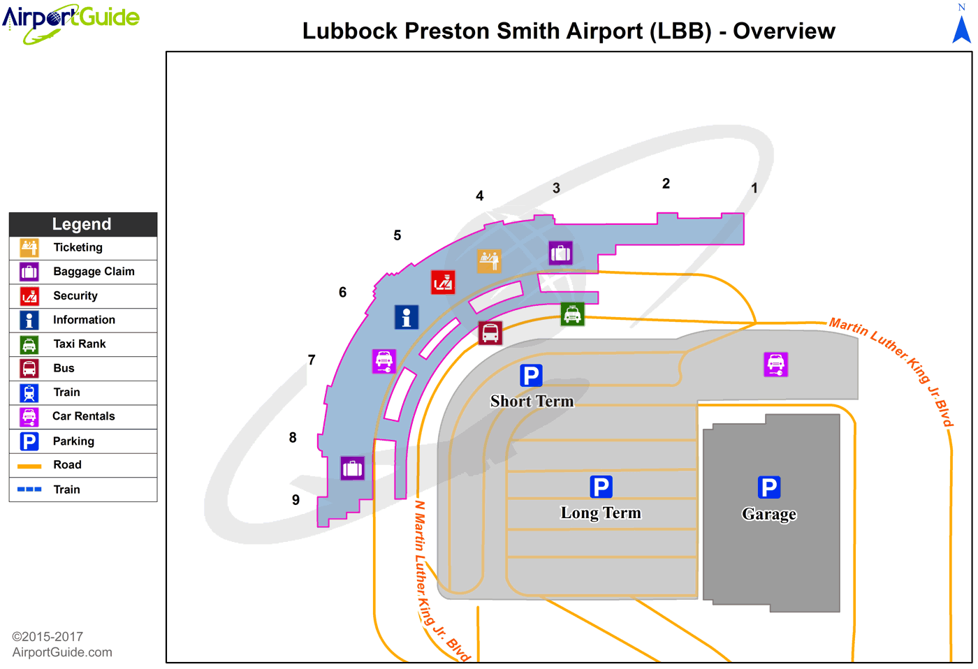
Maps & Diagrams
LBB Sectional
Flight Planning
at skyvector.com
at skyvector.com
 Diagram")