
Location
Latitude: |
32-55-00.8423N (32.916901) |
Longitude: |
129-54-50.4053E (129.914001) |
Elevation: |
15 feet MSL (5 m MSL) |
Magnetic Variation: |
7.8 W (as of April 2024 from WMM2020 model) |
Time Zone: |
UTC +9.0 (Standard Time) UTC +9.0 (Daylight Savings Time) |
Contacts
Manager: |
: |
Operations
Airport Status: |
Operational |
Facility Use: |
Public |
Type: |
Airport |
Traffic Pattern Altitude (MSL): |
1015 feet (309 m) |
Based Aircraft
Annual Operations (as of )
Communications
| TWR: | 118.5 |
| GND: | 121.6 |
| APP: | 119.175 |
| DEP: | 121 |
| ATIS: | 126.85 |
Fixed Based Operators (FBOs) & Fuel
(Click on a business for detail)
Please help us keep this information up to date. This is a FREE SERVICE just like everything else on Airport Guide! If you see that a business needs to be added, modified, or deleted please fill out our Update Form.
To add, modify, or delete a business click here.
Please help us keep this information up to date. This is a FREE SERVICE just like everything else on Airport Guide! If you see that a business needs to be added, modified, or deleted please fill out our Update Form.
| Business Name | Frequency | Phone | Fuel Grade |
|---|
Flight Service Stations
| Primary | Alternate | |
| FSS on Field: | ||
| FSS Name (ID): | ||
| Frequency: | ||
| Toll Free Phone: |
Instrument Procedures / Charts
Terminal Procedures are only available for airports in several countries with more being added all the time. If you are looking for a specific country's charts, please send an email to support(at)airportguide.com stating the country name. This will be used to prioritize the implementation.
Navigation Aids (Navaids) near NGS
| Dist (NM) | ID | Morse Code | Name | Type | Freq | True Hdg | Mag Hdg |
|---|---|---|---|---|---|---|---|
| 0.7 | OLE | Nagasaki | VOR-DME | 116.60 | 163 | 171 | |
| 1.1 | JBT | Omura | TACAN | 114.05 | 59 | 67 | |
| 1.7 | JB | Omura | NDB | 343 | 28 | 36 | |
| 23.6 | SGE | Saga | VOR-DME | 114.75 | 53 | 61 | |
| 29.0 | AKE | Amakusa | VOR-DME | 113.45 | 154 | 162 | |
| 36.9 | CA | Kamigoto | NDB | 367 | 279 | 287 | |
| 43.6 | KU | Kumamoto | NDB | 249 | 98 | 106 | |
| 47.0 | KUE | Kumamoto | VOR-DME | 112.80 | 95 | 103 | |
| 50.3 | IKE | Iki | VOR-DME | 113.20 | 352 | 360 | |
| 50.6 | IK | Ikishima | NDB | 355 | 352 | 360 | |
| 51.4 | FO | Fukuoka | NDB | 203 | 27 | 35 | |
| 51.4 | DGC | Fukuoka | VORTAC | 114.50 | 27 | 35 | |
| 56.6 | FU | Fukue | NDB | 263 | 255 | 263 | |
| 56.8 | FUE | Fukue | VOR-DME | 115.80 | 255 | 263 | |
| 69.0 | AHT | Ashiya | TACAN | 108.60 | 32 | 40 | |
| 72.9 | TQT | Tsuiki | TACAN | 110.40 | 50 | 58 | |
| 78.8 | KGE | Kajiki | VOR-DME | 115.70 | 148 | 156 | |
| 79.4 | SWE | Suoh | VOR-DME | 113.85 | 44 | 52 | |
| 79.5 | VCT | Shimotsushima | TACAN | 113.60 | 336 | 344 | |
| 80.7 | HKC | Kagoshima | VORTAC | 113.30 | 154 | 162 |
Nearby Airports with Fuel
| Dist (NM) | Name (Airport IDs) | True Hdg | Mag Hdg | Fuel Grade |
|---|
Notices to Airmen (NOTAMS)
Remarks
No remarks for this landing facility
Runways
Runway Summary
| Runways: | 14/32 [X] 18/36 |
| Longest Runway: | 14/32 is 9840 ft (2999 m) long |
| Runways with an Instrument Approach: |
NGS Airport Runway Details
| Runway 14/32 | 9840 ft x 200 ft (2999 m x 61 m) | |
| Runway Edge Lights: | Yes Intensity | |
Runway 14 |
Runway 32 |
|
Elevation: |
14 | 15 |
Latitude: |
32.92699813842 | 32.90689849853 |
Longitude: |
129.90299987792 | 129.92399597167 |
|
Runway True Alignment: |
138 | 318 |
Glide Path Angle: |
0.0 degrees | 0.0 degrees |
REIL: |
Yes | Yes |
Threshold Elevation: |
14 | 15 |
| Runway [X] 18/36 | 4350 ft x 100 ft (1326 m x 30 m) | |
| Runway Edge Lights: | Yes Intensity | |
Runway [X] 18 |
Runway [X] 36 |
|
Elevation: |
18 | 18 |
Latitude: |
32.93399810791 | 32.92210006713 |
Longitude: |
129.93299865722 | 129.93400573730 |
|
Runway True Alignment: |
174.2 | 354.2 |
Glide Path Angle: |
0.0 degrees | 0.0 degrees |
REIL: |
Yes | Yes |
Threshold Elevation: |
18 | 18 |
Displaced Threshold: |
245 | 245 |
Services
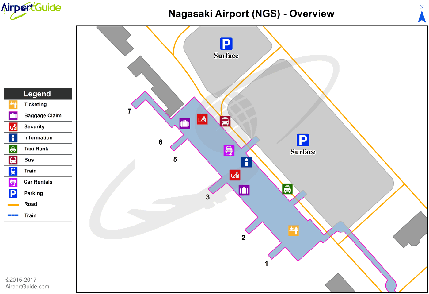
Maps & Diagrams
NGS Sectional
Flight Planning
at skyvector.com
at skyvector.com
