
Location
Latitude: |
51-52-28.9151N (51.874699) |
Longitude: |
0000-22-05.9988W (-.368333) |
Elevation: |
526 feet MSL (160 m MSL) |
Magnetic Variation: |
0.7 E (as of April 2024 from WMM2020 model) |
Time Zone: |
UTC +0.0 (Standard Time) UTC +1.0 (Daylight Savings Time) |
Contacts
Manager: |
: |
Operations
Airport Status: |
Operational |
Facility Use: |
Public |
Type: |
Airport |
Traffic Pattern Altitude (MSL): |
1526 feet (465 m) |
Based Aircraft
Annual Operations (as of )
Communications
| CTAF: | 122.9 |
| KENAI RDO: | 122.6 |
| TWR: | 132.55 |
| GND: | 121.75 |
| APP: | 129.55 |
| ATIS: | 120.575 |
| ANCHORAGE CNTR: | 125.2 |
Fixed Based Operators (FBOs) & Fuel
(Click on a business for detail)
Please help us keep this information up to date. This is a FREE SERVICE just like everything else on Airport Guide! If you see that a business needs to be added, modified, or deleted please fill out our Update Form.
To add, modify, or delete a business click here.
Please help us keep this information up to date. This is a FREE SERVICE just like everything else on Airport Guide! If you see that a business needs to be added, modified, or deleted please fill out our Update Form.
| Business Name | Frequency | Phone | Fuel Grade |
|---|
Flight Service Stations
| Primary | Alternate | |
| FSS on Field: | ||
| FSS Name (ID): | ||
| Frequency: | ||
| Toll Free Phone: |
Instrument Procedures / Charts
Terminal Procedures are only available for airports in several countries with more being added all the time. If you are looking for a specific country's charts, please send an email to support(at)airportguide.com stating the country name. This will be used to prioritize the implementation.
Navigation Aids (Navaids) near LTN
| Dist (NM) | ID | Morse Code | Name | Type | Freq | True Hdg | Mag Hdg |
|---|---|---|---|---|---|---|---|
| 11.2 | BNN | Bovingdon | VOR-DME | 113.75 | 217 | 216 | |
| 12.3 | BPK | Brookmans Park | VOR-DME | 117.50 | 127 | 126 | |
| 15.0 | CFD | Cranfield | VOR | 116.50 | 323 | 322 | |
| 16.1 | CHT | Chiltern | NDB | 277 | 200 | 199 | |
| 17.1 | HEN | Henton | NDB | 434 | 246 | 245 | |
| 17.3 | BKY | Barkway | VOR-DME | 116.25 | 66 | 65 | |
| 22.1 | WCO | Westcott | NDB | 335 | 266 | 265 | |
| 22.7 | SSD | Stansted | NDB | 429 | 86 | 85 | |
| 23.4 | BOU | Bourn | NDB | 392 | 30 | 29 | |
| 23.5 | LON | London | VOR-DME | 113.60 | 188 | 187 | |
| 23.7 | LAM | Lambourne | VOR-DME | 115.60 | 125 | 124 | |
| 24.2 | BUR | Burnham | NDB | 421 | 208 | 207 | |
| 27.5 | LCY | City | NDB | 322 | 143 | 142 | |
| 28.6 | CAM | Cambridge | NDB | 333 | 45 | 44 | |
| 30.0 | NN | Northampton | NDB | 379 | 328 | 327 | |
| 31.3 | BSO | Benson | TACAN | 110.00 | 240 | 239 | |
| 31.7 | WOD | Woodley | NDB | 352 | 217 | 216 | |
| 32.5 | FOS | Fairoaks | NDB | 348 | 193 | 192 | |
| 32.5 | FRK | Fairoaks | DME | 109.85 | 193 | 192 | |
| 33.1 | DTY | Daventry | VOR-DME | 116.40 | 303 | 302 |
Nearby Airports with Fuel
| Dist (NM) | Name (Airport IDs) | True Hdg | Mag Hdg | Fuel Grade |
|---|---|---|---|---|
| 27.2 | London City Airport (LCY EGLC) |
144 | 143 | MOGAS |
| 28.4 | Bicester Airfield Airport (EGDD) |
275 | 275 | AVGAS 100LL |
Notices to Airmen (NOTAMS)
Remarks
No remarks for this landing facility
Runways
Runway Summary
| Runways: | 07/25 |
| Longest Runway: | 07/25 is 7093 ft (2162 m) long |
| Runways with an Instrument Approach: |
LTN Airport Runway Details
| Runway 07/25 | 7093 ft x 150 ft (2162 m x 46 m) | |
| Runway Edge Lights: | Yes Intensity | |
Runway 07 |
Runway 25 |
|
Elevation: |
515 | 508 |
Latitude: |
51.87200164794 | 51.87720108032 |
Longitude: |
-0.383549988269 | -0.353332996368 |
|
Runway True Alignment: |
74 | 254 |
Glide Path Angle: |
0.0 degrees | 0.0 degrees |
REIL: |
Yes | Yes |
Threshold Elevation: |
515 | 508 |
Displaced Threshold: |
279 |
Services
Fuel Available: |
AVGAS 100LL |
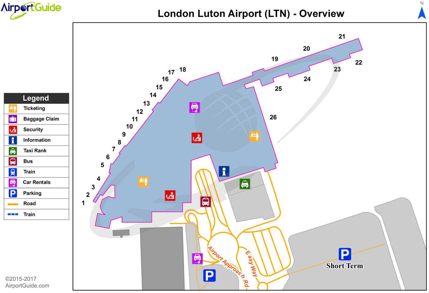
Maps & Diagrams
LTN Sectional
Flight Planning
at skyvector.com
at skyvector.com
