
Location
Latitude: |
53-21-13.3154N (53.353699) |
Longitude: |
002-16-29.8201W (-2.27495) |
Elevation: |
257 feet MSL (78 m MSL) |
Magnetic Variation: |
0.1 W (as of April 2024 from WMM2020 model) |
Time Zone: |
UTC +0.0 (Standard Time) UTC +1.0 (Daylight Savings Time) |
Contacts
Manager: |
: |
Operations
Airport Status: |
Operational |
Facility Use: |
Public |
Type: |
Airport |
Traffic Pattern Altitude (MSL): |
1257 feet (383 m) |
Based Aircraft
Annual Operations (as of )
Communications
| TWR: | 118.625 |
| TWR: | 119.4 |
| CLNC DEL: | 121.7 |
| GND: | 121.85 |
| APP: | 135 |
| ATIS: | 128.175 |
Fixed Based Operators (FBOs) & Fuel
(Click on a business for detail)
Please help us keep this information up to date. This is a FREE SERVICE just like everything else on Airport Guide! If you see that a business needs to be added, modified, or deleted please fill out our Update Form.
To add, modify, or delete a business click here.
Please help us keep this information up to date. This is a FREE SERVICE just like everything else on Airport Guide! If you see that a business needs to be added, modified, or deleted please fill out our Update Form.
| Business Name | Frequency | Phone | Fuel Grade |
|---|
Flight Service Stations
| Primary | Alternate | |
| FSS on Field: | ||
| FSS Name (ID): | ||
| Frequency: | ||
| Toll Free Phone: |
Instrument Procedures / Charts
Terminal Procedures are only available for airports in several countries with more being added all the time. If you are looking for a specific country's charts, please send an email to support(at)airportguide.com stating the country name. This will be used to prioritize the implementation.
Navigation Aids (Navaids) near MAN
| Dist (NM) | ID | Morse Code | Name | Type | Freq | True Hdg | Mag Hdg |
|---|---|---|---|---|---|---|---|
| 0.1 | MCH | Manchester | NDB | 428 | 108 | 108 | |
| 0.5 | MCT | Manchester | VOR-DME | 113.55 | 67 | 67 | |
| 4.3 | WFD | Manchester Woodford | NDB | 380 | 102 | 102 | |
| 16.1 | WHI | Whitegate | NDB | 369 | 231 | 231 | |
| 24.2 | POL | Pole Hill | VOR-DME | 112.10 | 14 | 14 | |
| 28.2 | TNT | Trent | VOR-DME | 115.70 | 129 | 129 | |
| 30.9 | WAL | Wallasey | VOR-DME | 114.10 | 274 | 274 | |
| 31.5 | WTN | Warton | NDB | 337 | 319 | 319 | |
| 32.0 | WTN | Warton | TACAN | 113.20 | 316 | 316 | |
| 32.0 | SMF | Sheffield City | NDB | 333 | 85 | 85 | |
| 32.0 | SFH | Sheffield City | DME | 111.35 | 85 | 85 | |
| 36.0 | SLP | Sleap | NDB | 382 | 210 | 210 | |
| 36.1 | SWB | Shawbury | VOR-DME | 116.80 | 202 | 202 | |
| 37.2 | TNL | Tatenhill | NDB | 327 | 150 | 150 | |
| 37.8 | LBA | Leeds Bradford | NDB | 403 | 35 | 35 | |
| 41.6 | LIC | Lichfield | NDB | 545 | 150 | 150 | |
| 46.1 | FNY | Doncaster | NDB | 338 | 80 | 80 | |
| 47.8 | GAM | Gamston | VOR-DME | 112.80 | 94 | 94 | |
| 50.2 | NOT | Nottingham | NDB | 430 | 120 | 120 | |
| 50.3 | WBA | Wolverhampton | NDB | 356 | 179 | 179 |
Nearby Airports with Fuel
| Dist (NM) | Name (Airport IDs) | True Hdg | Mag Hdg | Fuel Grade |
|---|---|---|---|---|
| 45.7 | Sherburn-In-Elmet Airfield Airport (EGCJ) |
55 | 55 | 100LL |
| 95.7 | Bicester Airfield Airport (EGDD) |
153 | 153 | AVGAS 100LL |
Notices to Airmen (NOTAMS)
Remarks
No remarks for this landing facility
Runways
Runway Summary
| Runways: | 05L/23R 05R/23L |
| Longest Runway: | 05R/23L is 10007 ft (3050 m) long |
| Runways with an Instrument Approach: |
MAN Airport Runway Details
| Runway 05L/23R | 10000 ft x 148 ft (3048 m x 45 m) | |
| Runway Edge Lights: | Yes Intensity | |
Runway 05L |
Runway 23R |
|
Elevation: |
212 | 249 |
Latitude: |
53.34510040283 | 53.36240005493 |
Longitude: |
-2.292740106582 | -2.257139921188 |
|
Runway True Alignment: |
51 | 231 |
Glide Path Angle: |
0.0 degrees | 0.0 degrees |
REIL: |
Yes | Yes |
Threshold Elevation: |
212 | 249 |
Displaced Threshold: |
1401 | 600 |
| Runway 05R/23L | 10007 ft x 148 ft (3050 m x 45 m) | |
| Runway Edge Lights: | Yes Intensity | |
Runway 05R |
Runway 23L |
|
Elevation: |
186 | 227 |
Latitude: |
53.33200073242 | 53.34909820556 |
Longitude: |
-2.310659885406 | -2.274990081787 |
|
Runway True Alignment: |
51 | 231 |
Glide Path Angle: |
0.0 degrees | 0.0 degrees |
REIL: |
Yes | Yes |
Threshold Elevation: |
186 | 227 |
Displaced Threshold: |
604 | 604 |
Services
Fuel Available: |
AVGAS 100LL |
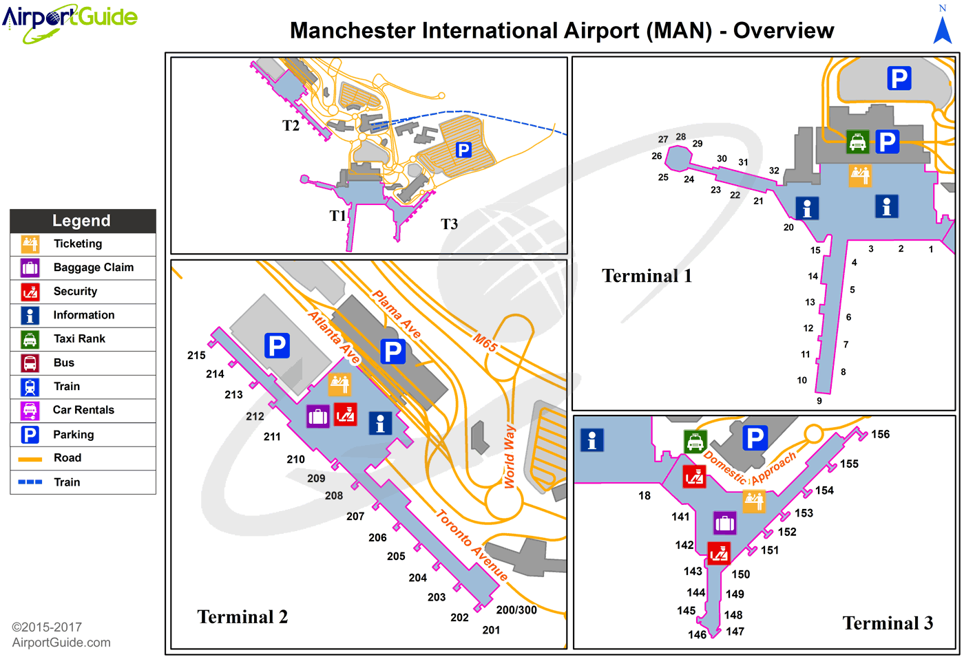
Maps & Diagrams
MAN Sectional
Flight Planning
at skyvector.com
at skyvector.com
