
Location
Latitude: |
58-12-15.1236N (58.204201) |
Longitude: |
008-05-07.332E (8.08537) |
Elevation: |
57 feet MSL (17 m MSL) |
Magnetic Variation: |
3.5 E (as of April 2024 from WMM2020 model) |
Time Zone: |
UTC +1.0 (Standard Time) UTC +2.0 (Daylight Savings Time) |
Contacts
Manager: |
: |
Operations
Airport Status: |
Operational |
Facility Use: |
Public |
Type: |
Airport |
Traffic Pattern Altitude (MSL): |
1057 feet (322 m) |
Based Aircraft
Annual Operations (as of )
Communications
| INFO: | 124.475 |
| TWR: | 118.1 |
Fixed Based Operators (FBOs) & Fuel
(Click on a business for detail)
Please help us keep this information up to date. This is a FREE SERVICE just like everything else on Airport Guide! If you see that a business needs to be added, modified, or deleted please fill out our Update Form.
To add, modify, or delete a business click here.
Please help us keep this information up to date. This is a FREE SERVICE just like everything else on Airport Guide! If you see that a business needs to be added, modified, or deleted please fill out our Update Form.
| Business Name | Frequency | Phone | Fuel Grade |
|---|
Flight Service Stations
| Primary | Alternate | |
| FSS on Field: | ||
| FSS Name (ID): | ||
| Frequency: | ||
| Toll Free Phone: |
Instrument Procedures / Charts
Terminal Procedures are only available for airports in several countries with more being added all the time. If you are looking for a specific country's charts, please send an email to support(at)airportguide.com stating the country name. This will be used to prioritize the implementation.
Navigation Aids (Navaids) near KRS
| Dist (NM) | ID | Morse Code | Name | Type | Freq | True Hdg | Mag Hdg |
|---|---|---|---|---|---|---|---|
| 4.7 | ODR | Odderoy | NDB | 372 | 215 | 212 | |
| 7.5 | BN | Birkeland | NDB | 345 | 36 | 32 | |
| 9.1 | SVA | Svensheia | VOR-DME | 112.10 | 218 | 215 | |
| 45.0 | LST | Lista | NDB | 383 | 260 | 257 | |
| 46.6 | LST | Lista | TACAN | 109.30 | 263 | 260 | |
| 73.4 | FN | Finndal | NDB | 368 | 38 | 34 | |
| 73.4 | TE | Thisted | NDB | 331 | 159 | 155 | |
| 75.0 | SKI | Skien | VOR-DME | 113.60 | 37 | 33 | |
| 78.9 | MR | Myra | NDB | 389 | 35 | 31 | |
| 81.3 | VAR | Varhaug | NDB | 319 | 289 | 286 | |
| 84.5 | GL | Aalborg | NDB | 398 | 142 | 138 | |
| 86.5 | ZOL | Sola | VOR-DME | 116.85 | 298 | 295 | |
| 86.7 | SOA | Sola | TACAN | 112.25 | 298 | 295 | |
| 86.7 | SF | Sandefjord | NDB | 283 | 50 | 46 | |
| 88.9 | ZO | Sola | NDB | 352 | 301 | 298 | |
| 89.0 | HE | Heddal | NDB | 324 | 18 | 14 | |
| 89.1 | TOR | Torp | VOR-DME | 113.85 | 48 | 44 | |
| 89.2 | NTD | Notodden | NDB | 400 | 21 | 17 | |
| 90.0 | AAL | Aalborg | TACAN | 116.70 | 136 | 132 | |
| 90.1 | AAL | Aalborg | VOR-DME | 116.70 | 136 | 132 |
Nearby Airports with Fuel
| Dist (NM) | Name (Airport IDs) | True Hdg | Mag Hdg | Fuel Grade |
|---|
Notices to Airmen (NOTAMS)
Remarks
No remarks for this landing facility
Runways
Runway Summary
| Runways: | 03/21 |
| Longest Runway: | 03/21 is 6660 ft (2030 m) long |
| Runways with an Instrument Approach: |
KRS Airport Runway Details
| Runway 03/21 | 6660 ft x 148 ft (2030 m x 45 m) | |
| Runway Edge Lights: | Yes Intensity | |
Runway 03 |
Runway 21 |
|
Elevation: |
41 | 52 |
Latitude: |
58.19670104980 | 58.21170043945 |
Longitude: |
8.0754098892211 | 8.0952701568603 |
|
Runway True Alignment: |
35 | 215 |
Glide Path Angle: |
0.0 degrees | 0.0 degrees |
REIL: |
Yes | Yes |
Threshold Elevation: |
41 | 52 |
Displaced Threshold: |
394 | 623 |
Services
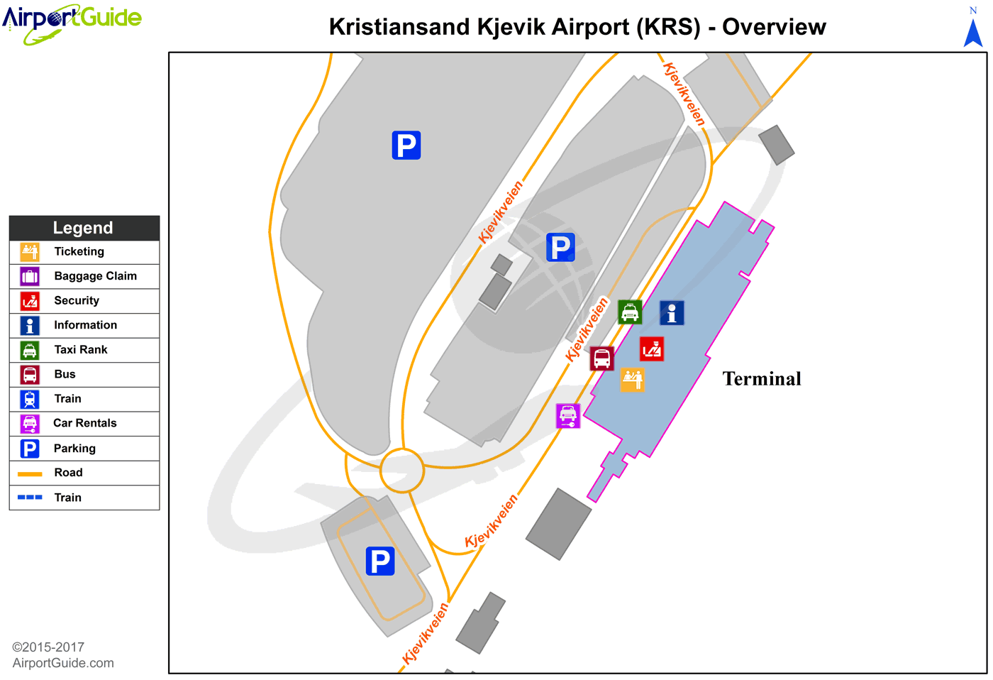
Maps & Diagrams
KRS Sectional
Flight Planning
at skyvector.com
at skyvector.com
