
Location
Latitude: |
34-25-38.2782N (34.427299) |
Longitude: |
135-14-38.4119E (135.244003) |
Elevation: |
26 feet MSL (8 m MSL) |
Magnetic Variation: |
8.1 W (as of April 2024 from WMM2020 model) |
Time Zone: |
UTC +9.0 (Standard Time) UTC +9.0 (Daylight Savings Time) |
Contacts
Manager: |
: |
Operations
Airport Status: |
Operational |
Facility Use: |
Public |
Type: |
Airport |
Traffic Pattern Altitude (MSL): |
1026 feet (313 m) |
Based Aircraft
Annual Operations (as of )
Communications
| TWR 06L/24R: | 118.05 |
| TWR 06R/24L: | 118.2 |
| CLNC DEL: | 121.9 |
| GND: | 121.6 |
| APP: | 120.25 |
| DEP: | 119.2 |
| ATIS: | 127.85 |
| TCA: | 121.1 |
Fixed Based Operators (FBOs) & Fuel
(Click on a business for detail)
Please help us keep this information up to date. This is a FREE SERVICE just like everything else on Airport Guide! If you see that a business needs to be added, modified, or deleted please fill out our Update Form.
To add, modify, or delete a business click here.
Please help us keep this information up to date. This is a FREE SERVICE just like everything else on Airport Guide! If you see that a business needs to be added, modified, or deleted please fill out our Update Form.
| Business Name | Frequency | Phone | Fuel Grade |
|---|
Flight Service Stations
| Primary | Alternate | |
| FSS on Field: | ||
| FSS Name (ID): | ||
| Frequency: | ||
| Toll Free Phone: |
Instrument Procedures / Charts
Terminal Procedures are only available for airports in several countries with more being added all the time. If you are looking for a specific country's charts, please send an email to support(at)airportguide.com stating the country name. This will be used to prioritize the implementation.
Navigation Aids (Navaids) near KIX
| Dist (NM) | ID | Morse Code | Name | Type | Freq | True Hdg | Mag Hdg |
|---|---|---|---|---|---|---|---|
| 0.4 | KNE | Kansai | VOR-DME | 111.80 | 66 | 74 | |
| 6.4 | KN | Kansai | NDB | 346 | 50 | 58 | |
| 10.6 | SK | Shinoda | NDB | 219 | 68 | 76 | |
| 10.8 | SKE | Shinoda | VOR-DME | 112.30 | 68 | 76 | |
| 12.2 | KCE | Kobe | VOR-DME | 111.25 | 356 | 364 | |
| 14.7 | TME | Tomo | VOR-DME | 116.40 | 233 | 241 | |
| 20.1 | YOE | Yao | VOR-DME | 114.60 | 59 | 67 | |
| 21.7 | RK | Osaka | NDB | 340 | 44 | 52 | |
| 23.3 | OWE | Osaka | VOR-DME | 113.90 | 26 | 34 | |
| 23.9 | SIE | Shigi | VOR-DME | 111.60 | 59 | 67 | |
| 24.0 | OW | Itami | NDB | 211 | 19 | 27 | |
| 27.9 | AJE | Awaji | VOR-DME | 115.60 | 250 | 258 | |
| 31.8 | GBE | Goboh | VOR-DME | 116.90 | 192 | 200 | |
| 36.1 | TSC | Tokushima | VORTAC | 114.90 | 240 | 248 | |
| 36.4 | TS | Tokushima | NDB | 333 | 240 | 248 | |
| 39.8 | KJT | Komatsujima | TACAN | 113.55 | 230 | 238 | |
| 40.0 | KJ | Komatsujima | NDB | 352 | 227 | 235 | |
| 45.6 | CUE | Otsu | VOR-DME | 117.10 | 38 | 46 | |
| 46.3 | NKE | Nanki | VOR-DME | 109.05 | 172 | 180 | |
| 48.3 | STE | Shodo | VOR-DME | 114.40 | 276 | 284 |
Nearby Airports with Fuel
| Dist (NM) | Name (Airport IDs) | True Hdg | Mag Hdg | Fuel Grade |
|---|---|---|---|---|
| 12.4 | Kobe Airport (UKB RJBE) |
355 | 363 | Please confirm |
Notices to Airmen (NOTAMS)
Remarks
No remarks for this landing facility
Runways
Runway Summary
| Runways: | 06L/24R 06R/24L |
| Longest Runway: | 06L/24R is 13123 ft (4000 m) long |
| Runways with an Instrument Approach: |
KIX Airport Runway Details
| Runway 06L/24R | 13123 ft x 196 ft (4000 m x 60 m) | |
| Runway Edge Lights: | Yes Intensity | |
Runway 06L |
Runway 24R |
|
Elevation: |
24 | 32 |
Latitude: |
34.42850112915 | 34.45133209228 |
Longitude: |
135.20616149902 | 135.24000549316 |
|
Runway True Alignment: |
51 | 231 |
Glide Path Angle: |
0.0 degrees | 0.0 degrees |
REIL: |
Yes | Yes |
Threshold Elevation: |
24 | 32 |
| Runway 06R/24L | 11483 ft x 196 ft (3500 m x 60 m) | |
| Runway Edge Lights: | Yes Intensity | |
Runway 06R |
Runway 24L |
|
Elevation: |
6 | 15 |
Latitude: |
34.41740036010 | 34.43719863891 |
Longitude: |
135.22900390625 | 135.25900268554 |
|
Runway True Alignment: |
51 | 231 |
Glide Path Angle: |
0.0 degrees | 0.0 degrees |
REIL: |
Yes | Yes |
Threshold Elevation: |
6 | 15 |
Services
Fuel Available: |
Please confirm |
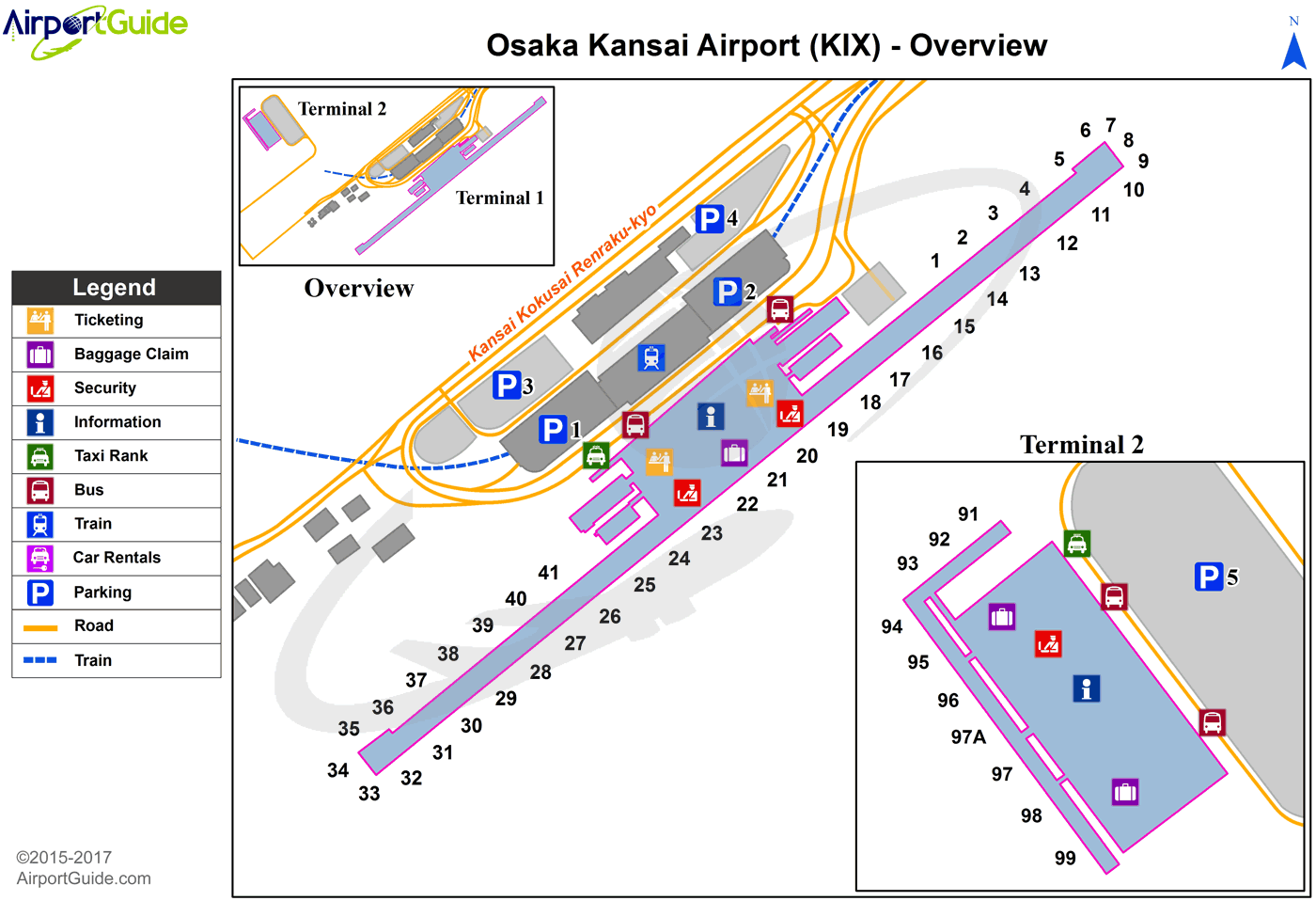
Maps & Diagrams
KIX Sectional
Flight Planning
at skyvector.com
at skyvector.com
