
Location
Latitude: |
33-35-09.2377N (33.585899) |
Longitude: |
130-27-03.6145E (130.451004) |
Elevation: |
32 feet MSL (10 m MSL) |
Magnetic Variation: |
8 W (as of April 2024 from WMM2020 model) |
Time Zone: |
UTC +9.0 (Standard Time) UTC +9.0 (Daylight Savings Time) |
Contacts
Manager: |
: |
Operations
Airport Status: |
Operational |
Facility Use: |
Public |
Type: |
Airport |
Traffic Pattern Altitude (MSL): |
1032 feet (315 m) |
Based Aircraft
Annual Operations (as of )
Communications
| TWR: | 118.4 |
| CLNC DEL: | 121.925 |
| GND: | 121.7 |
| APP: | 119.1 |
| DEP: | 119.7 |
| ATIS: | 127.2 |
| TCA: | 121.275 |
Fixed Based Operators (FBOs) & Fuel
(Click on a business for detail)
Please help us keep this information up to date. This is a FREE SERVICE just like everything else on Airport Guide! If you see that a business needs to be added, modified, or deleted please fill out our Update Form.
To add, modify, or delete a business click here.
Please help us keep this information up to date. This is a FREE SERVICE just like everything else on Airport Guide! If you see that a business needs to be added, modified, or deleted please fill out our Update Form.
| Business Name | Frequency | Phone | Fuel Grade |
|---|
Flight Service Stations
| Primary | Alternate | |
| FSS on Field: | ||
| FSS Name (ID): | ||
| Frequency: | ||
| Toll Free Phone: |
Instrument Procedures / Charts
Terminal Procedures are only available for airports in several countries with more being added all the time. If you are looking for a specific country's charts, please send an email to support(at)airportguide.com stating the country name. This will be used to prioritize the implementation.
Navigation Aids (Navaids) near FUK
| Dist (NM) | ID | Morse Code | Name | Type | Freq | True Hdg | Mag Hdg |
|---|---|---|---|---|---|---|---|
| 6.1 | FO | Fukuoka | NDB | 203 | 330 | 338 | |
| 6.2 | DGC | Fukuoka | VORTAC | 114.50 | 330 | 338 | |
| 20.7 | AHT | Ashiya | TACAN | 108.60 | 28 | 36 | |
| 27.4 | SGE | Saga | VOR-DME | 114.75 | 196 | 204 | |
| 30.0 | TQT | Tsuiki | TACAN | 110.40 | 78 | 86 | |
| 33.1 | SWE | Suoh | VOR-DME | 113.85 | 60 | 68 | |
| 34.9 | IK | Ikishima | NDB | 355 | 286 | 294 | |
| 35.0 | IKE | Iki | VOR-DME | 113.20 | 286 | 294 | |
| 40.6 | OCT | Ozuki | TACAN | 112.15 | 47 | 55 | |
| 41.1 | OC | Ozuki | NDB | 253 | 47 | 55 | |
| 45.9 | TTE | Toyota | VOR-DME | 117.20 | 37 | 45 | |
| 46.5 | UBE | Ube | VOR-DME | 110.80 | 62 | 70 | |
| 46.7 | JB | Omura | NDB | 343 | 214 | 222 | |
| 47.4 | JBT | Omura | TACAN | 114.05 | 213 | 221 | |
| 48.8 | OLE | Nagasaki | VOR-DME | 116.60 | 213 | 221 | |
| 49.2 | KUE | Kumamoto | VOR-DME | 112.80 | 156 | 164 | |
| 49.5 | KU | Kumamoto | NDB | 249 | 161 | 169 | |
| 61.0 | FMT | Hofu | TACAN | 113.00 | 63 | 71 | |
| 64.2 | TFE | Musashi | VOR-DME | 117.70 | 94 | 102 | |
| 66.4 | TAE | Oita | VOR-DME | 112.10 | 108 | 116 |
Nearby Airports with Fuel
| Dist (NM) | Name (Airport IDs) | True Hdg | Mag Hdg | Fuel Grade |
|---|
Notices to Airmen (NOTAMS)
Remarks
No remarks for this landing facility
Runways
Runway Summary
| Runways: | 16/34 |
| Longest Runway: | 16/34 is 9186 ft (2800 m) long |
| Runways with an Instrument Approach: |
FUK Airport Runway Details
| Runway 16/34 | 9186 ft x 197 ft (2800 m x 60 m) | |
| Runway Edge Lights: | Yes Intensity | |
Runway 16 |
Runway 34 |
|
Elevation: |
15 | 32 |
Latitude: |
33.59690093994 | 33.57500076293 |
Longitude: |
130.44299316406 | 130.45799255371 |
|
Runway True Alignment: |
150.2 | 330.2 |
Glide Path Angle: |
0.0 degrees | 0.0 degrees |
REIL: |
Yes | Yes |
Threshold Elevation: |
15 | 32 |
Services
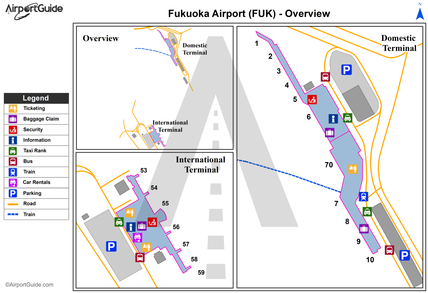
Maps & Diagrams
FUK Sectional
Flight Planning
at skyvector.com
at skyvector.com
