
Location
Latitude: |
53-25-16.6764N (53.421299) |
Longitude: |
006-16-12.252W (-6.27007) |
Elevation: |
242 feet MSL (74 m MSL) |
Magnetic Variation: |
1.6 W (as of April 2024 from WMM2020 model) |
Time Zone: |
UTC +0.0 (Standard Time) UTC +1.0 (Daylight Savings Time) |
Contacts
Manager: |
: |
Operations
Airport Status: |
Operational |
Facility Use: |
Public |
Type: |
Airport |
Traffic Pattern Altitude (MSL): |
1242 feet (379 m) |
Based Aircraft
Annual Operations (as of )
Communications
| TWR: | 118.6 |
| CLNC DEL: | 121.875 |
| GND: | 121.8 |
| APP: | 121.1 |
| ATIS: | 124.525 |
| FIS: | 118.5 |
Fixed Based Operators (FBOs) & Fuel
(Click on a business for detail)
Please help us keep this information up to date. This is a FREE SERVICE just like everything else on Airport Guide! If you see that a business needs to be added, modified, or deleted please fill out our Update Form.
To add, modify, or delete a business click here.
Please help us keep this information up to date. This is a FREE SERVICE just like everything else on Airport Guide! If you see that a business needs to be added, modified, or deleted please fill out our Update Form.
| Business Name | Frequency | Phone | Fuel Grade |
|---|
Flight Service Stations
| Primary | Alternate | |
| FSS on Field: | ||
| FSS Name (ID): | ||
| Frequency: | ||
| Toll Free Phone: |
Instrument Procedures / Charts
Terminal Procedures are only available for airports in several countries with more being added all the time. If you are looking for a specific country's charts, please send an email to support(at)airportguide.com stating the country name. This will be used to prioritize the implementation.
Navigation Aids (Navaids) near DUB
| Dist (NM) | ID | Morse Code | Name | Type | Freq | True Hdg | Mag Hdg |
|---|---|---|---|---|---|---|---|
| 0.1 | ID | Dublin | DME | 108.90 | 192 | 194 | |
| 1.2 | DAP | Dublin | VOR-DME | 111.20 | 276 | 278 | |
| 4.7 | OP | Op | NDB | 397 | 95 | 97 | |
| 4.9 | DUB | Dublin | VOR-DME | 114.90 | 344 | 346 | |
| 5.7 | OE | Dublin | NDB | 316 | 275 | 277 | |
| 7.9 | RSH | Rush | NDB | 326 | 46 | 48 | |
| 9.0 | WST | Weston | VOR-DME | 114.70 | 243 | 245 | |
| 9.0 | GAR | Garristown | NDB | 407 | 315 | 317 | |
| 9.7 | BAL | Baldonnel | VOR-DME | 115.80 | 221 | 223 | |
| 10.8 | KLY | Killiney | NDB | 378 | 147 | 149 | |
| 13.7 | GMN | Gormanston | NDB-DME | 334 | 6 | 8 | |
| 62.6 | VYL | Valley | TACAN | 108.40 | 98 | 99 | |
| 66.0 | IOM | Isle Of Man | VOR-DME | 112.20 | 53 | 54 | |
| 70.6 | RWY | Isle Of Man | NDB | 359 | 55 | 56 | |
| 71.9 | CAE | Caernarfon | NDB | 320 | 104 | 105 | |
| 72.7 | CML | Clonmel | NDB | 387 | 217 | 219 | |
| 74.4 | BEL | Belfast | VOR-DME | 117.20 | 1 | 3 | |
| 75.9 | EKN | Enniskillen | NDB | 358 | 320 | 322 | |
| 76.3 | EKN | Enniskillen | DME | 116.75 | 320 | 322 | |
| 76.4 | CAR | Carnane | NDB | 367 | 54 | 55 |
Nearby Airports with Fuel
| Dist (NM) | Name (Airport IDs) | True Hdg | Mag Hdg | Fuel Grade |
|---|---|---|---|---|
| 74.2 | Belfast International Airport (BFS EGAA) |
1 | 3 | Jet A-1, Avgas 100LL |
Notices to Airmen (NOTAMS)
Remarks
No remarks for this landing facility
Runways
Runway Summary
| Runways: | 10L/28R 10R/28L [X] 11/29 16/34 |
| Longest Runway: | 10L/28R is 10203 ft (3110 m) long |
| Runways with an Instrument Approach: |
DUB Airport Runway Details
| Runway 10L/28R | 10203 ft x 148 ft (3110 m x 45 m) | |
| Runway Edge Lights: | Yes Intensity | |
Runway 10L |
Runway 28R |
|
Elevation: |
235 | 213 |
Latitude: |
53.43716 | 53.4352 |
Longitude: |
-6.28062 | -6.24496 |
|
Runway True Alignment: |
97 | 278 |
Glide Path Angle: |
0.0 degrees | 0.0 degrees |
REIL: |
Yes | Yes |
Threshold Elevation: |
235 | 213 |
| Runway 10R/28L | 8652 ft x 148 ft (2637 m x 45 m) | |
| Runway Edge Lights: | Yes Intensity | |
Runway 10R |
Runway 28L |
|
Elevation: |
242 | 202 |
Latitude: |
53.42243 | 53.4203 |
Longitude: |
-6.29007 | -6.25058 |
|
Runway True Alignment: |
95 | 275 |
Glide Path Angle: |
0.0 degrees | 0.0 degrees |
REIL: |
Yes | Yes |
Threshold Elevation: |
242 | 202 |
| Runway [X] 11/29 | 4393 ft x 200 ft (1339 m x 61 m) | |
Runway [X] 11 |
Runway [X] 29 |
|
Elevation: |
217 | 216 |
Latitude: |
53.43659973144 | 53.43339920043 |
Longitude: |
-6.262269973754 | -6.242809772491 |
|
Runway True Alignment: |
105 | 285 |
Glide Path Angle: |
0.0 degrees | 0.0 degrees |
Threshold Elevation: |
217 | 216 |
Displaced Threshold: |
279 |
| Runway 16/34 | 6798 ft x 148 ft (2072 m x 45 m) | |
| Runway Edge Lights: | Yes Intensity | |
Runway 16 |
Runway 34 |
|
Elevation: |
217 | 202 |
Latitude: |
53.437 | 53.419899 |
Longitude: |
-6.26198 | -6.24959 |
|
Runway True Alignment: |
157 | 337 |
Glide Path Angle: |
0.0 degrees | 0.0 degrees |
REIL: |
Yes | Yes |
Threshold Elevation: |
217 | 202 |
Services
Fuel Available: |
Jet A-1, Avgas 100LL |
Other Services: |
Concierge service |
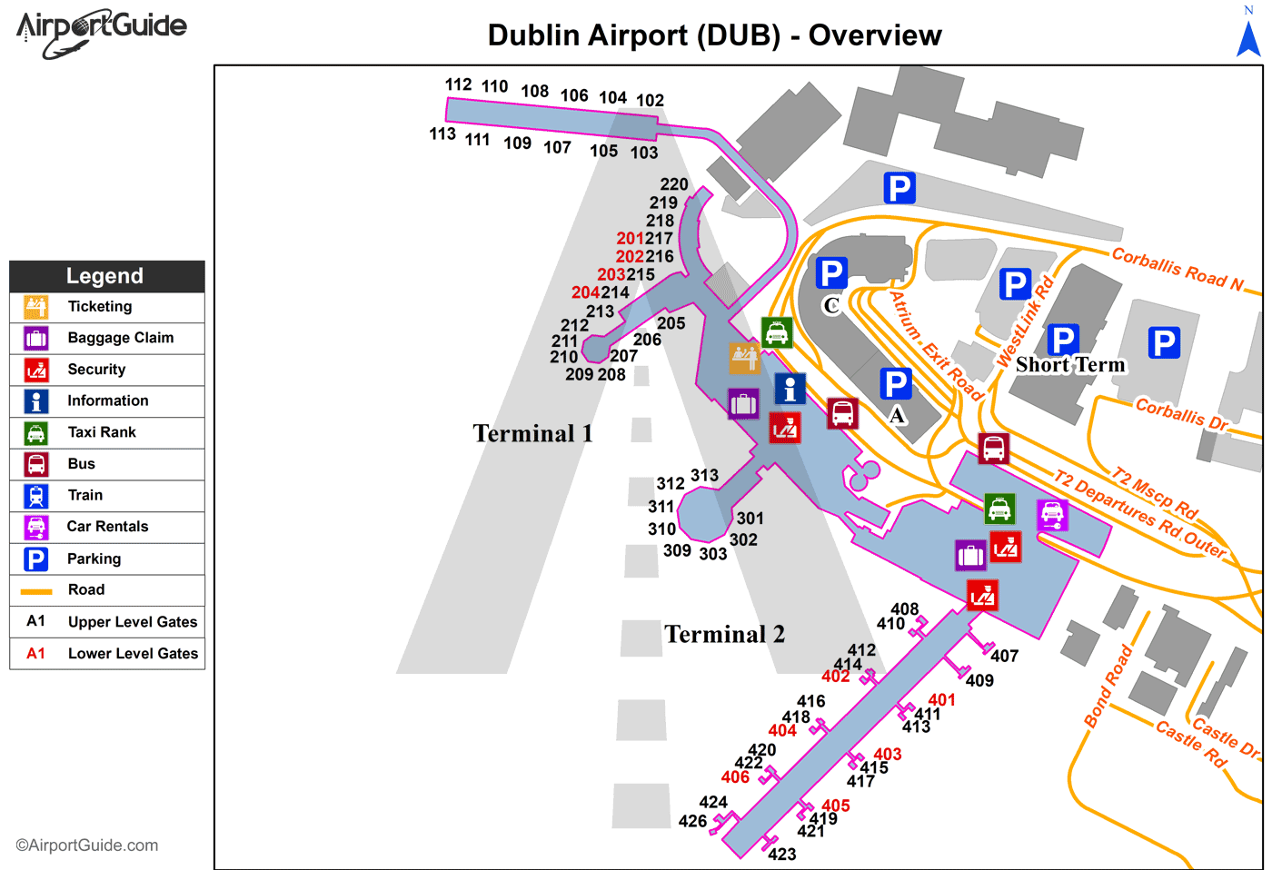
Maps & Diagrams
DUB Sectional
Flight Planning
at skyvector.com
at skyvector.com
