
Location
Latitude: |
37-46-30.0055N (37.775002) |
Longitude: |
0000-48-44.6005W (-.812389) |
Elevation: |
11 feet MSL (3 m MSL) |
Magnetic Variation: |
1.1 E (as of April 2024 from WMM2020 model) |
Time Zone: |
UTC +1.0 (Standard Time) UTC +2.0 (Daylight Savings Time) |
Contacts
Manager: |
: |
Operations
Airport Status: |
Operational |
Facility Use: |
Public |
Type: |
Airport |
Traffic Pattern Altitude (MSL): |
1011 feet (308 m) |
Based Aircraft
Annual Operations (as of )
Communications
| SAN JAVIER TWR: | 130.3 |
| SAN JAVIER GND: | 121.6 |
| SAN JAVIER APP: | 130.3 |
Fixed Based Operators (FBOs) & Fuel
(Click on a business for detail)
Please help us keep this information up to date. This is a FREE SERVICE just like everything else on Airport Guide! If you see that a business needs to be added, modified, or deleted please fill out our Update Form.
To add, modify, or delete a business click here.
Please help us keep this information up to date. This is a FREE SERVICE just like everything else on Airport Guide! If you see that a business needs to be added, modified, or deleted please fill out our Update Form.
| Business Name | Frequency | Phone | Fuel Grade |
|---|
Flight Service Stations
| Primary | Alternate | |
| FSS on Field: | ||
| FSS Name (ID): | ||
| Frequency: | ||
| Toll Free Phone: |
Instrument Procedures / Charts
Terminal Procedures are only available for airports in several countries with more being added all the time. If you are looking for a specific country's charts, please send an email to support(at)airportguide.com stating the country name. This will be used to prioritize the implementation.
Navigation Aids (Navaids) near MJV
| Dist (NM) | ID | Morse Code | Name | Type | Freq | True Hdg | Mag Hdg |
|---|---|---|---|---|---|---|---|
| 0.3 | VSJ | Murcia/San Javier | VOR-DME | 113.00 | 356 | 355 | |
| 0.3 | VSJ | Murcia/San Javier | TACAN | 113.00 | 355 | 354 | |
| 1.1 | O | Murcia/San Javier | NDB | 370 | 225 | 224 | |
| 8.4 | LCZ | Murcia/San Javier | NDB | 381 | 225 | 224 | |
| 22.4 | TRL | Alcantarilla | TACAN | 116.60 | 298 | 297 | |
| 22.4 | ATR | Alcantarilla | NDB | 345 | 298 | 297 | |
| 31.7 | ALT | Alicante | VOR-DME | 113.80 | 21 | 20 | |
| 32.5 | ATE | Alicante | VOR-DME | 114.65 | 19 | 18 | |
| 80.8 | YES | Yeste | VOR-DME | 115.20 | 296 | 295 | |
| 85.9 | TAB | Albacete | TACAN | 108.00 | 325 | 324 | |
| 86.9 | AM | Almeria | NDB | 284 | 232 | 231 | |
| 89.2 | AMR | Almeria | VOR-DME | 114.10 | 231 | 230 | |
| 89.6 | ABT | Albacete | NDB | 321 | 321 | 320 | |
| 89.7 | VAB | Albacete | VOR-DME | 115.80 | 321 | 320 | |
| 93.2 | AMN | Almeria | NDB | 310 | 233 | 232 |
Nearby Airports with Fuel
| Dist (NM) | Name (Airport IDs) | True Hdg | Mag Hdg | Fuel Grade |
|---|
Notices to Airmen (NOTAMS)
Remarks
No remarks for this landing facility
Runways
Runway Summary
| Runways: | 05L/23R 05R/23L [X] 14/32 |
| Longest Runway: | 05R/23L is 7612 ft (2320 m) long |
| Runways with an Instrument Approach: |
MJV Airport Runway Details
| Runway 05L/23R | 5174 ft x 148 ft (1577 m x 45 m) | |
Runway 05L |
Runway 23R |
|
Latitude: |
37.78049850463 | 37.78599929809 |
Longitude: |
-0.816838979721 | -0.809692025184 |
|
Runway True Alignment: |
46.1 | 226.1 |
Glide Path Angle: |
0.0 degrees | 0.0 degrees |
| Runway 05R/23L | 7612 ft x 148 ft (2320 m x 45 m) | |
| Runway Edge Lights: | Yes Intensity | |
Runway 05R |
Runway 23L |
|
Elevation: |
11 | 5 |
Latitude: |
37.76770019531 | 37.78219985961 |
Longitude: |
-0.821555972099 | -0.802833020687 |
|
Runway True Alignment: |
45.8 | 225.8 |
Glide Path Angle: |
0.0 degrees | 0.0 degrees |
REIL: |
Yes | Yes |
Threshold Elevation: |
11 | 5 |
| Runway [X] 14/32 | 2625 ft x 197 ft (800 m x 60 m) | |
Runway [X] 14 |
Runway [X] 32 |
|
Latitude: |
37.78680038452 | 37.78150177001 |
Longitude: |
-0.813893973827 | -0.807500004768 |
|
Runway True Alignment: |
135.9 | 315.9 |
Glide Path Angle: |
0.0 degrees | 0.0 degrees |
Services
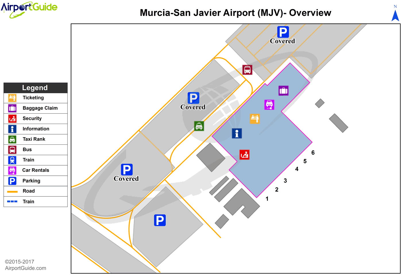
Maps & Diagrams
MJV Sectional
Flight Planning
at skyvector.com
at skyvector.com
