
Location
Latitude: |
34-56-42S (-34.945) |
Longitude: |
138-31-51.6216E (138.531006) |
Elevation: |
20 feet MSL (6 m MSL) |
Magnetic Variation: |
8.1 E (as of April 2024 from WMM2020 model) |
Time Zone: |
UTC +9.5 (Standard Time) UTC +10.5 (Daylight Savings Time) |
Contacts
Manager: |
: |
Operations
Airport Status: |
Operational |
Facility Use: |
Public |
Type: |
Airport |
Traffic Pattern Altitude (MSL): |
1020 feet (311 m) |
Based Aircraft
Annual Operations (as of )
Communications
| TWR: | 120.5 |
| CLNC DEL: | 126.1 |
| GND: | 121.7 |
| Approach (East): | 118.2 |
| Approach (West): | 124.2 |
| ATIS: | 116.4 |
| ATIS: | 134.5 |
Fixed Based Operators (FBOs) & Fuel
(Click on a business for detail)
Please help us keep this information up to date. This is a FREE SERVICE just like everything else on Airport Guide! If you see that a business needs to be added, modified, or deleted please fill out our Update Form.
To add, modify, or delete a business click here.
Please help us keep this information up to date. This is a FREE SERVICE just like everything else on Airport Guide! If you see that a business needs to be added, modified, or deleted please fill out our Update Form.
| Business Name | Frequency | Phone | Fuel Grade |
|---|
Flight Service Stations
| Primary | Alternate | |
| FSS on Field: | ||
| FSS Name (ID): | ||
| Frequency: | ||
| Toll Free Phone: |
Instrument Procedures / Charts
Terminal Procedures are only available for airports in several countries with more being added all the time. If you are looking for a specific country's charts, please send an email to support(at)airportguide.com stating the country name. This will be used to prioritize the implementation.
Navigation Aids (Navaids) near ADL
| Dist (NM) | ID | Morse Code | Name | Type | Freq | True Hdg | Mag Hdg |
|---|---|---|---|---|---|---|---|
| 0.4 | AD | Adelaide | VOR-DME | 116.40 | 251 | 243 | |
| 0.7 | AD | Adelaide (DECOMMISSIONED) | NDB | 362 | 96 | 88 | |
| 9.7 | PF | Parafield | NDB | 416 | 25 | 17 | |
| 10.7 | MBY | Modbury (DECOMISSIONED) | NDB | 377 | 50 | 42 | |
| 15.0 | EDN | Edinburgh | TACAN | 114.70 | 15 | 7 | |
| 15.1 | EDN | Edinburgh | NDB | 311 | 19 | 11 | |
| 43.8 | ARS | Ardrossan (DECOMMISSIONED) | NDB | 398 | 316 | 308 | |
| 44.7 | ARS | Ardrossan | VOR | 115.80 | 315 | 307 | |
| 49.5 | TBD | Tailem Bend (DECOMMISSIONED) | NDB | 242 | 112 | 104 | |
| 51.3 | TBD | Tailem Bend (DECOMMISSIONED) | VOR | 116.60 | 110 | 102 | |
| 52.3 | SFL | Stonefield (DECOMMISSIONED) | NDB | 257 | 50 | 42 | |
| 59.9 | LRT | Lake Albert | NDB | 227 | 138 | 130 | |
| 67.7 | KSC | Kingscote | NDB | 215 | 227 | 219 |
Nearby Airports with Fuel
| Dist (NM) | Name (Airport IDs) | True Hdg | Mag Hdg | Fuel Grade |
|---|---|---|---|---|
| 20.8 | Aldinga Airport (YADG) |
185 | 177 | 100LL |
| 74.1 | Clare Valley Aerodrome Airport (YCVA) |
2 | 354 | 100LL |
Notices to Airmen (NOTAMS)
Remarks
No remarks for this landing facility
Runways
Runway Summary
| Runways: | 05/23 12/30 |
| Longest Runway: | 05/23 is 10171 ft (3100 m) long |
| Runways with an Instrument Approach: |
ADL Airport Runway Details
| Runway 05/23 | 10171 ft x 148 ft (3100 m x 45 m) | |
| Runway Edge Lights: | Yes Intensity | |
Runway 05 |
Runway 23 |
|
Elevation: |
14 | 20 |
Latitude: |
-34.9585 | -34.940601 |
Longitude: |
138.516998 | 138.542999 |
|
Runway True Alignment: |
50 | 230 |
Glide Path Angle: |
0.0 degrees | 0.0 degrees |
REIL: |
Yes | Yes |
Threshold Elevation: |
14 | 20 |
Displaced Threshold: |
492 |
| Runway 12/30 | 5420 ft x 148 ft (1652 m x 45 m) | |
| Runway Edge Lights: | Yes Intensity | |
Runway 12 |
Runway 30 |
|
Elevation: |
14 | 14 |
Latitude: |
-34.9412 | -34.949402 |
Longitude: |
138.522003 | 138.537003 |
|
Runway True Alignment: |
123 | 303 |
Glide Path Angle: |
0.0 degrees | 0.0 degrees |
REIL: |
Yes | Yes |
Threshold Elevation: |
14 | 14 |
Services
Fuel Available: |
100LL |
Maps & Diagrams
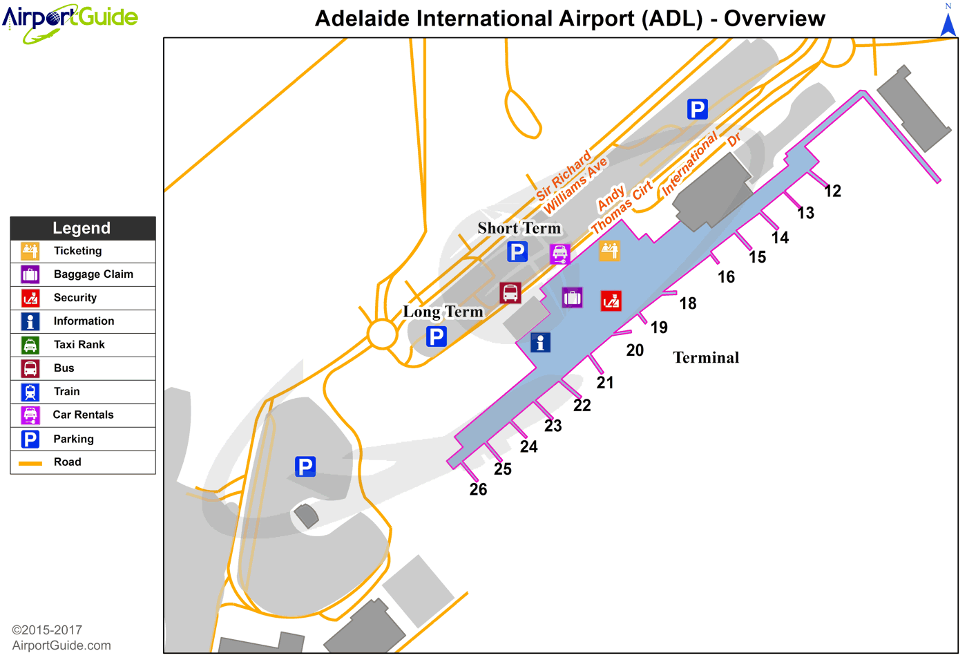
ADL Sectional
Flight Planning
at skyvector.com
at skyvector.com
