
Location
Latitude: |
27-23-03.1169S (-27.384199) |
Longitude: |
153-07-01.2158E (153.117004) |
Elevation: |
13 feet MSL (4 m MSL) |
Magnetic Variation: |
11.1 E (as of April 2024 from WMM2020 model) |
Time Zone: |
UTC +10.0 (Standard Time) UTC +10.0 (Daylight Savings Time) |
Contacts
Manager: |
: |
Operations
Airport Status: |
Operational |
Facility Use: |
Public |
Type: |
Airport |
Traffic Pattern Altitude (MSL): |
1013 feet (309 m) |
Based Aircraft
Annual Operations (as of )
Communications
| TWR: | 120.5 |
| CLNC DEL: | 118.6 |
| GND: | 121.7 |
| APP/DEP: | 124.35 |
| RADAR: | 125.7 |
| ATIS: | 113.2 |
Fixed Based Operators (FBOs) & Fuel
(Click on a business for detail)
Please help us keep this information up to date. This is a FREE SERVICE just like everything else on Airport Guide! If you see that a business needs to be added, modified, or deleted please fill out our Update Form.
To add, modify, or delete a business click here.
Please help us keep this information up to date. This is a FREE SERVICE just like everything else on Airport Guide! If you see that a business needs to be added, modified, or deleted please fill out our Update Form.
| Business Name | Frequency | Phone | Fuel Grade |
|---|
Flight Service Stations
| Primary | Alternate | |
| FSS on Field: | ||
| FSS Name (ID): | ||
| Frequency: | ||
| Toll Free Phone: |
Instrument Procedures / Charts
Terminal Procedures are only available for airports in several countries with more being added all the time. If you are looking for a specific country's charts, please send an email to support(at)airportguide.com stating the country name. This will be used to prioritize the implementation.
Navigation Aids (Navaids) near BNE
| Dist (NM) | ID | Morse Code | Name | Type | Freq | True Hdg | Mag Hdg |
|---|---|---|---|---|---|---|---|
| 1.6 | BN | Brisbane | VOR-DME | 113.20 | 46 | 35 | |
| 12.4 | AF | Archerfield | NDB | 419 | 205 | 194 | |
| 25.4 | JCW | Jacobs Well | VOR | 116.50 | 153 | 142 | |
| 26.3 | AMB | Amberley | NDB | 359 | 232 | 221 | |
| 26.3 | AMB | Amberley | TACAN | 114.70 | 234 | 223 | |
| 36.8 | BML | Bromelton | NDB | 374 | 198 | 187 | |
| 40.3 | KCY | Kilcoy | NDB | 392 | 313 | 302 | |
| 42.8 | MLY | Maleny | VOR | 115.90 | 333 | 322 | |
| 43.5 | LAV | Laravale | VOR | 117.80 | 193 | 182 | |
| 47.2 | MC | Maroochydore | VOR-DME | 114.20 | 358 | 347 | |
| 47.5 | MC | Maroochydore | NDB | 380 | 358 | 347 | |
| 51.1 | CG | Coolangatta | NDB | 278 | 156 | 145 | |
| 51.4 | CG | Coolangatta | VOR-DME | 112.30 | 156 | 145 | |
| 64.8 | TWB | Toowoomba | NDB | 386 | 261 | 250 | |
| 73.5 | OK | Oakey | VOR-DME | 112.90 | 268 | 257 | |
| 73.5 | OK | Oakey | NDB | 254 | 267 | 256 | |
| 83.5 | KRY | Kingaroy | NDB | 209 | 305 | 294 | |
| 86.7 | LIS | Lismore | NDB | 239 | 175 | 164 | |
| 90.1 | BNA | Ballina | NDB | 206 | 164 | 153 |
Nearby Airports with Fuel
| Dist (NM) | Name (Airport IDs) | True Hdg | Mag Hdg | Fuel Grade |
|---|---|---|---|---|
| 46.9 | Sunshine Coast Airport (MCY YBSU) |
358 | 347 | 100LL, Jet A-1 |
Notices to Airmen (NOTAMS)
Remarks
No remarks for this landing facility
Runways
Runway Summary
| Runways: | 01/19 14/32 |
| Longest Runway: | 01/19 is 11793.6 ft (3595 m) long |
| Runways with an Instrument Approach: |
BNE Airport Runway Details
| Runway 01/19 | 11793.6 ft x 148 ft (3595 m x 45 m) | |
| Runway Edge Lights: | Medium intensity Intensity | |
Runway 01 |
Runway 19 |
|
Latitude: |
-27.403308 | -27.374464 |
Longitude: |
153.117955 | 153.134451 |
Glide Path Angle: |
3.0 degrees | 3.0 degrees |
Runway Markings Condition: |
UK-style non-precision runway markings | UK-style non-precision runway markings |
Visual Glide Slope Indicators: |
Tri-Color VASI | Tri-Color VASI |
Approach Light System: |
Calvert | Calvert |
REIL: |
Omni-directional REIL | Omni-directional REIL |
Touchdown Lights: |
None | Touchdown-zone lights available |
| Runway 14/32 | 5781.20 ft x 98 ft (1762 m x 30 m) | |
| Runway Edge Lights: | Medium intensity Intensity | |
Runway 14 |
Runway 32 |
|
Latitude: |
-27.355995 | -27.369089 |
Longitude: |
153.124181 | 153.134253 |
Glide Path Angle: |
3.0 degrees | 3.0 degrees |
Runway Markings Condition: |
Non-precision approach markings | Non-precision approach markings |
Visual Glide Slope Indicators: |
Tri-Color VASI | Tri-Color VASI |
Approach Light System: |
None | None |
REIL: |
None | None |
Touchdown Lights: |
None | None |
Centerline Lights: |
No | No |
Services
Fuel Available: |
100LL, Jet A-1 |
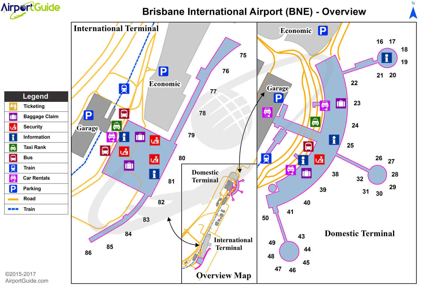
Maps & Diagrams
BNE Sectional
Flight Planning
at skyvector.com
at skyvector.com
